Begunje (Krpin) - Tomčeva koča na Poljški planini (through Blatnica Gorge)
Starting point: Begunje (Krpin) (585 m)
Starting point Lat/Lon: 46.3821°N 14.203°E 
Path name: through Blatnica Gorge
Time of walking: 2 h 5 min
Difficulty: easy unmarked way
Difficulty of skiing: no data
Altitude difference: 595 m
Altitude difference (by path): 605 m
Map: Karavanke - osrednji del 1:50.000
Access to starting point:
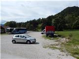
We leave Gorenjska highway at exit Radovljica or Lesce, and then we follow the signs for Begunje na Gorenjskem. When we get to Begunje na Gorenjskem, at first we still follow the signs for Tržič and Draga, and after the hospital we turn left in the direction of recreation center Krpin, to which we get to after approximately 100 meters of additional driving. We park on a large parking lot by the mentioned recreation center.
Path description:
From the starting point, we continue on the asphalt road which is lightly ascending and past a religious symbol in few minutes brings us to water plant Mravlinc, where it is also possible to park. Here on the asphalt road we cross the bridge and we ascend to the last house, where the road becomes a macadam and turns right. Only a little further, we get to a crossroad, where the path branches off to the left, which leads to the church of St. Peter, and we continue straight and past the water catchment we get to the next crossroad, where another path branches off to the left (road), which leads towards the church of St. Peter and Sankaška koča, and we continue straight, on the road which brings us in gorge of the stream Blatnica. At first, we are ascending above the scenic stream and then we gradually get very close to riverbed. Further, the path leads us past another waterfall of Blatnica, and then the path splits.
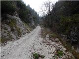
We continue left on a wider cart track which continues through the forest and which leads us by the torrent stream (straight path which runs by the stream Globoki potok). Next follows a little steeper ascent, and at the crossings we follow the wider path, which higher brings us to a crossing on the saddle Kališča, where we also reach a marked path Sveti Peter - Poljška planina, which we follow right in the direction of the mountain pasture Poljška planina and mountain hut Roblekov dom.
The path continues on an ascending cart track which higher changes into at first bad macadam road. Higher, the road flattens, and after the crossing of Tolsti vrh it brings us to the cottage Tomčeva koča on the mountain pasture Poljška planina.
On the way: Soteska Blatnice (800m), Kališča (980m)
Pictures:
 1
1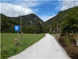 2
2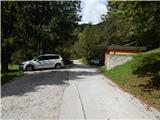 3
3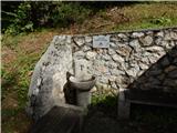 4
4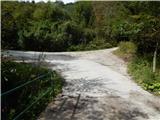 5
5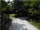 6
6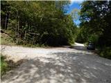 7
7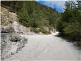 8
8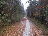 9
9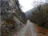 10
10 11
1112
 13
13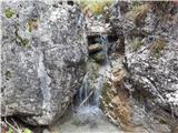 14
14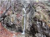 15
15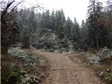 16
16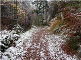 17
17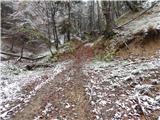 18
18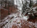 19
19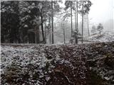 20
20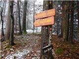 21
21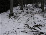 22
22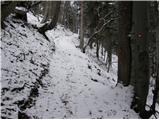 23
23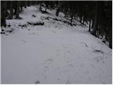 24
24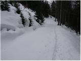 25
25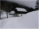 26
26