Celje (hanging bridge) - Hom above Celje (via Petriček and Lisce)
Starting point: Celje (hanging bridge) (240 m)
Starting point Lat/Lon: 46.23382°N 15.22573°E 
Path name: via Petriček and Lisce
Time of walking: 1 h 10 min
Difficulty: easy unmarked way
Difficulty of skiing: no data
Altitude difference: 330 m
Altitude difference (by path): 370 m
Map: Celjska kotlina, 1:50000
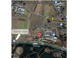
Access to starting point:
In Celje we look for street Ljubljanska ulica, where at the crossroad at School for Horticulture and Visual Arts Celje we turn towards the industrial zone towards the south in the direction of Savinja (where there are companies Kameno, Sint, Mizar, Skladišče Lesnina etc.). We park by river Savinja on a parking lot opposite the large silos of construction company, 500 meters to the east from the hanging bridge over Savinja.
Path description:
From the parking lot, we continue along the left bank of Savinja towards 500 meters distant light blue hanging bridge towards the west. On the support column of the bridge we notice a blaze and arrow "Planinski dom Brnica". We cross river Savinja and we step on an asphalt road. The first part of the path runs on a marked path towards Brnica. At the first asphalt crossroad we turn left upwards towards Petriček. The path on the asphalt road is diverse, but all the time marked. After approx 1 km we leave the asphalt and we continue right on the macadam road towards Petriček, in the past a very popular destination, but now there are just ruins. Here we again turn to the right on the asphalt and we go uphill past the shooting range among meadows. When the road flattens, we leave the asphalt and we continue right on the macadam road which is at first slightly descending, and then we continue through the gorge. After some time the macadam road starts ascending, until it ends at the cross, and we continue straight on a cart track. We continue past a lonely homestead and we get to a crossing, where we continue right on a steeper path through the forest. The path quickly brings us on a saddle in the settlement Lisce. When we step out of the forest, we continue few steps left on a macadam and then immediately right on asphalt, where a view opens up towards Veliki Slomnik and Malič. Here we join the marked path Žerdonerjeva pot, where the path good 100 meters on the asphalt road brings us to the forest, where we leave the asphalt and we go to the left on a well-hardened forest path. We continue on the southern slope of Hom with minimal ascent, until we get to the signpost, where the path branches off right steeply upwards towards the ridge of Hom. We continue on a steep zig-zags, until we get to the ridge. We get to a cute bench and a breathtaking view towards Levec on the north. After we take the rest, we continue on the ridge towards the summit in the direction of west. Few minutes of walking and we are on the summit, where we get to new signposts, stamp, inscription book and bench.
Pictures:
 1
1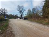 2
2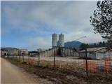 3
3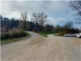 4
4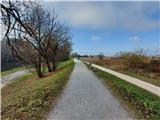 5
5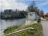 6
6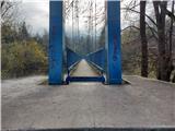 7
7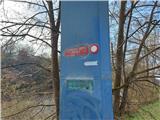 8
8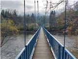 9
9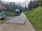 10
10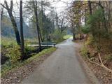 11
11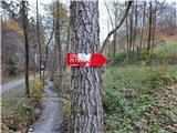 12
12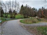 13
13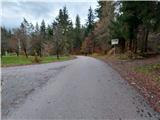 14
14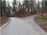 15
15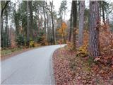 16
16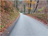 17
17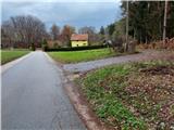 18
18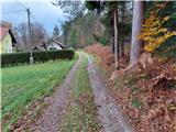 19
19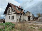 20
20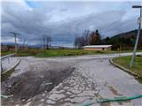 21
21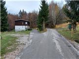 22
22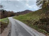 23
23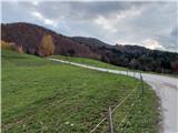 24
24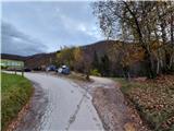 25
25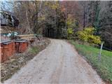 26
26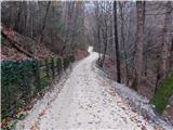 27
27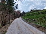 28
28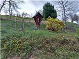 29
29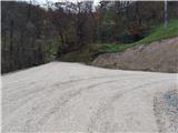 30
30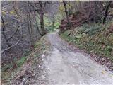 31
31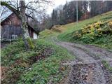 32
32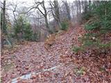 33
33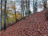 34
34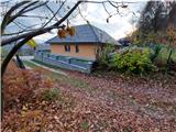 35
35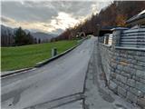 36
36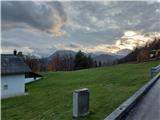 37
37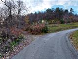 38
38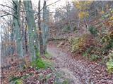 39
39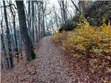 40
40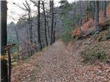 41
41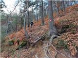 42
42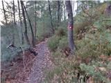 43
43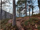 44
44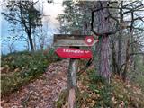 45
45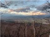 46
46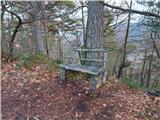 47
47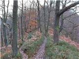 48
48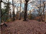 49
49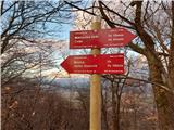 50
50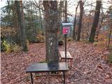 51
51