Hayrack (Laška vas - Pečovje) - Tolsti vrh above Celjska koča (via chapel at Mary and on CPP)
Starting point: Hayrack (Laška vas - Pečovje) (316 m)
Starting point Lat/Lon: 46.21104°N 15.30886°E 
Path name: via chapel at Mary and on CPP
Time of walking: 1 h 35 min
Difficulty: easy marked way
Difficulty of skiing: no data
Altitude difference: 518 m
Altitude difference (by path): 558 m
Map: Celjska kotlina, 1:50000
Access to starting point:
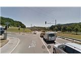
Hayrack "Laška vas - Pečovje" is an ideal starting point for mountaineering tours on the nearby hills. Hayrack was for a long time a characteristic of the gorge of the stream Bojanski potok between Pečovje and Laška vas, through which runs also an asphalted road. Few years back the hayrack owned by the farmer miserably decayed, but the municipality Štore because of the recognisability made a new one with the help of European funds with a purpose to preserve vernacular architecture. Next to the hayrack there is a large parking lot, where we can park our vehicle. So to the starting point, we can get with a car from Celje and Štore, where we follow signposts for Svetina. When we already drive past the area of old part of iron works in Štore, we leave the main road towards Svetina and we turn to the right on turn-off towards Pečovje. We continue on a narrow asphalt road for approx 1 km and we are already at the hayrack. Or we can get to the starting point also on foot, because the path from the railway station Štore to the hayrack is marked.
Path description:
The starting point of the path is at the new hayrack. Our path to Tolsti vrh is practically entirely marked and equipped with signposts, but to various peaks of Celje hills, so we have to follow a detailed description.
At the crossroad at the hayrack in accordance with the signposts on Svetina via Marija we go on the asphalt road ahead in the direction of Pečovje. After approx 200 meters at the second crossroad we continue sharply to the left and a little uphill. An asphalt road at the sports field in the settlement Pečovje soon flattens again. Here is located the starting point of the path Barbarina pot, so the first half of our trip we just follow its signposts. After three terraced houses, we turn to the left on the forest road which at the last homestead passes into a forest path. Soon the path branches off to the left, which leads through Bojanski graben, while we continue straight upwards through a dense forest. Then from the right joins the path from Celje, where we continue to the left on the forest road along holiday cottages and then once again to the left on a little narrower forest path higher partly also a cart track. The path is again a little steeper ascending and we get help also from few cables, more in the function of a fence than a grip. We soon reach the crossing. Straight upwards signs CPP (Celje mountain trail) pointing towards Srebotnik, but we continue left at first slightly downwards past the chapel with the image of Mary carved into a wall of Srebotnik, and then we go slightly upwards on a wide forest path, partly cart track. We soon reach another crossing, where we continue to the right on a hardened forest road slightly upwards and we stop following the signposts for path Barbarina pot. We follow the forest road few hundred meters to another crossing on the saddle below the southern access on Srebotnik.
To the left we can ascend on a little shorter ridge path on Tolsti vrh, to the right we can ascend on Srebotnik, but we continue on the forest road slightly to the left downwards on CPP, which in this part connects Srebotnik with Tolsti vrh. We follow the forest road few hundred meters to the first crossing of paths or stream Hudičev potok, where to the left upwards leads the path CPP towards Tolsti vrh, and to the right the path branches off on an unmarked footpath towards Bavč, Grmada, Celjska koča etc. We continue left upwards on a marked forest path, which slowly passes into a cart track, and then into a forest road. We soon get to a crossing, where we join an asphalt road to the right in the direction of Tolsti vrh, to which we stick to only hundred meters. Then we leave the asphalt road and in accordance with signposts we continue on a shorter cart track through the forest and then on the forest road. Further by the only homestead in this part, we follow the path upwards through a meadow/pasture part and from the east side we reach Tolsti vrh. The viewpoint is situated another 50 meters forward towards the west, from where we can see the south and western Posavje hills.
On the way: Kapelica pri Mariji pod Srebotnikom (500m), Celjska koča (652m), Srebotnik (700m), Veliki Bojanski vrh (627m), Pečovniška koča na Grmadi (620m)
Pictures:
 1
1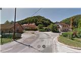 2
2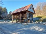 3
3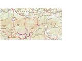 4
4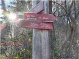 5
5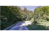 6
6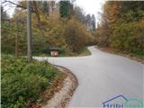 7
7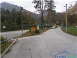 8
8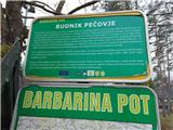 9
9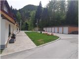 10
10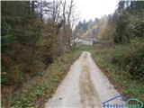 11
11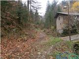 12
12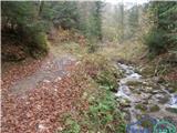 13
13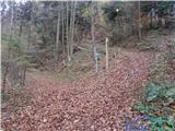 14
14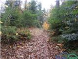 15
15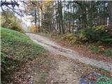 16
16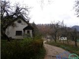 17
17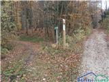 18
18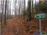 19
19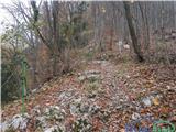 20
20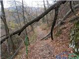 21
21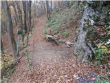 22
22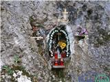 23
23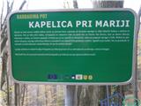 24
24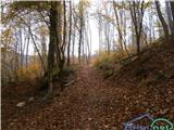 25
25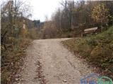 26
26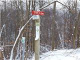 27
27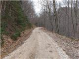 28
28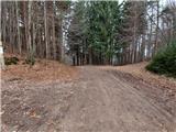 29
29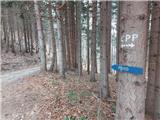 30
30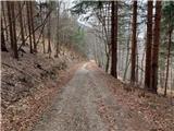 31
31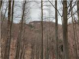 32
32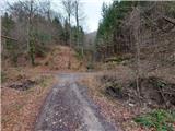 33
33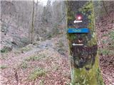 34
34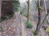 35
35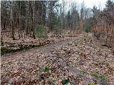 36
36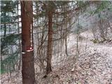 37
37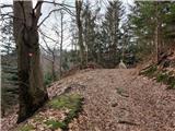 38
38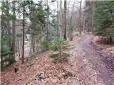 39
39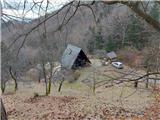 40
40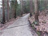 41
41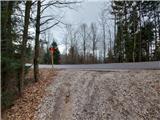 42
42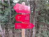 43
43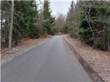 44
44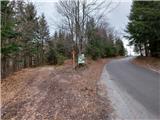 45
45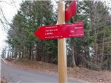 46
46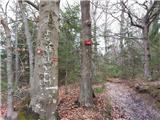 47
47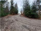 48
48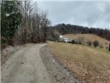 49
49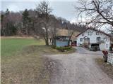 50
50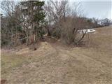 51
51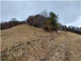 52
52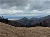 53
53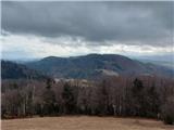 54
54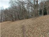 55
55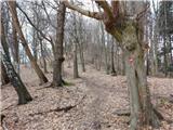 56
56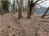 57
57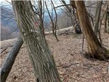 58
58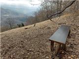 59
59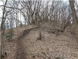 60
60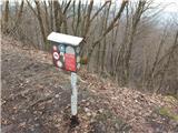 61
61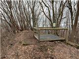 62
62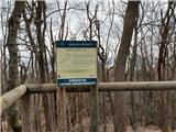 63
63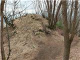 64
64 65
65 66
66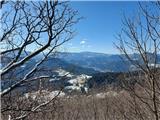 67
67 68
68