Hayrack (Laška vas - Pečovje) - Vrunčev dom na Svetini (via Bojanski graben)
Starting point: Hayrack (Laška vas - Pečovje) (316 m)
Starting point Lat/Lon: 46.21104°N 15.30886°E 
Path name: via Bojanski graben
Time of walking: 1 h 20 min
Difficulty: easy marked way
Difficulty of skiing: no data
Altitude difference: 464 m
Altitude difference (by path): 464 m
Map: Celjska kotlina, 1:50000
Access to starting point:
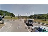
Hayrack "Laška vas - Pečovje" is an ideal starting point for mountaineering tours on the nearby hills. Hayrack was for a long time a characteristic of the gorge of the stream Bojanski potok between Pečovje and Laška vas, through which runs also an asphalted road. Few years back the hayrack owned by the farmer miserably decayed, but the municipality Štore because of the recognisability made a new one with the help of European funds with a purpose to preserve vernacular architecture. Next to the hayrack there is a large parking lot, where we can park our vehicle. So to the starting point, we can get with a car from Celje and Štore, where we follow signposts for Svetina. When we already drive past the area of old part of iron works in Štore, we leave the main road towards Svetina and we turn to the right on turn-off towards Pečovje. We continue on a narrow asphalt road for approx 1 km and we are already at the hayrack. Or we can get to the starting point also on foot, because the path from the railway station Štore to the hayrack is marked.
Path description:
The starting point of the path is at the new hayrack. At the crossroad at the hayrack in accordance with the signposts on Svetina via Marija we go on the asphalt road ahead in the direction of Pečovje. After approx 200 meters at the second crossroad we continue sharply to the left and a little uphill. An asphalt road soon flattens again at the sports field in the settlement Pečovje. Here is located a starting point of the path Barbarina pot, so the first part of our trip we just follow its signposts. After three terraced houses, we turn to the left on the forest road which at the last homestead passes into a forest path. Soon at the crossing we continue to the left on the path which leads via Bojanski graben and we leave the path Barbarina pot, which leads straight steeply uphill. We follow a marked path in narrow gorge of the stream Bojanski potok, but only to the first crossing, where the path branches off to the left. We follow the blazes, we leave the gorge of the stream Bojanski potok and we continue in a steeper ascent. Soon after we get out of the forest, we to the left join the forest road which on a gentle slope leads to Zaroviše. After few steps, we reach the saddle on the south side of Veliki and Mali Bojanski vrh, where from the left joins the path from Žlajfa. We continue sharply right on asphalt, through a short section in the forest and through a yard of a homestead between the tower silo, the house and the stable. Next follows continuation through a meadow part, by the distinct tree and a cross and again through the forest part. Soon on the ridge we reach a crossing between the mountain hut Vrunčev dom on the left and mountain hut Dom na Svetini on the right. We continue sharply to the left, after few steps uphill with a view we reach an asphalt road and settlement of holiday cottages. Left from the path there is hut Vrunčev dom, now hunting lodge on Svetina.
On the way: Mali Bojanski vrh (600m), Srebotnik (700m), Veliki Bojanski vrh (627m)
Pictures:
 1
1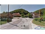 2
2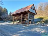 3
3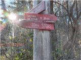 4
4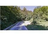 5
5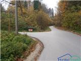 6
6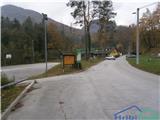 7
7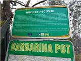 8
8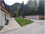 9
9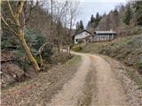 10
10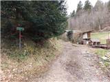 11
11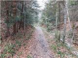 12
12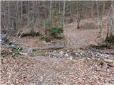 13
13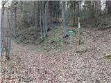 14
14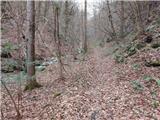 15
15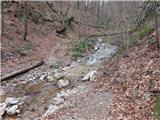 16
16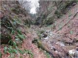 17
17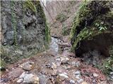 18
18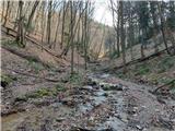 19
19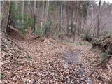 20
20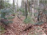 21
21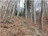 22
22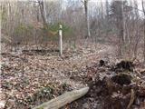 23
23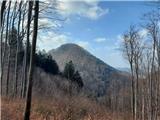 24
24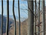 25
25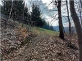 26
26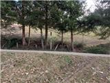 27
27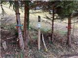 28
28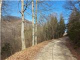 29
29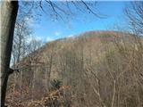 30
30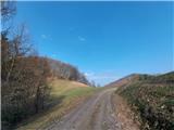 31
31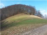 32
32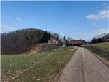 33
33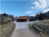 34
34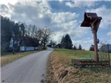 35
35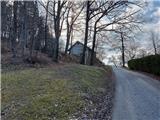 36
36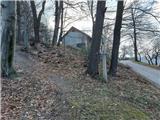 37
37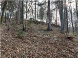 38
38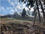 39
39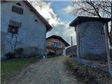 40
40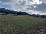 41
41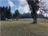 42
42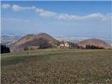 43
43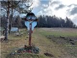 44
44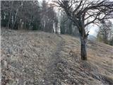 45
45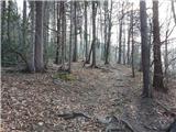 46
46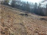 47
47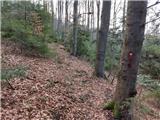 48
48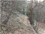 49
49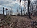 50
50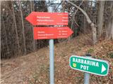 51
51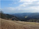 52
52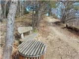 53
53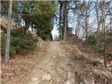 54
54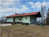 55
55 56
56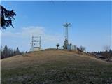 57
57 58
58