Iški morost - Iški morost (learning trail Koščeva učna pot)
Starting point: Iški morost (289 m)
Starting point Lat/Lon: 45.9799°N 14.4782°E 
Path name: learning trail Koščeva učna pot
Time of walking: 35 min
Difficulty: easy marked way
Difficulty of skiing: no data
Altitude difference: 0 m
Altitude difference (by path): 5 m
Map: Ljubljana - okolica 1:50.000
Access to starting point:
A) From highway Ljubljana - Koper we go to the exit Brezovica, and then we continue driving in the direction of Podpeč. At the beginning of Podpeč, still before the main roundabout we turn left in the direction of Črna vas and Ljubljana. Further, we drive through part of the village Jezero, and then we soon get to the settlement Lipe. At the sign for the end of the settlement, we turn right on a narrower asphalt road which continues by the river iška, and we are driving there approximately 1.5 km, and then at the information board we turn left and over the bridge we drive on the other side of Iška, where we park.
B) From Ljubljana or south Ljubljana bypass highway (exit industrial zone Rudnik) we drive on the road Ižanska cesta, which we follow to the traffic light crossroad, where the road branches off towards Črna vas and Podpeč. Further, we drive through Črna vas, where the road leads us past famous Plečnik's church. At the bridge over the river Iška village Črna vas ends and village Lipe begins. Immediately behind the bridge we turn left on a narrower asphalt road which continues by the river iška, and we are driving there approximately 1.5 km, and then at the information board we turn left and over the bridge we drive to the other side of Iška, where we park.
C) First, we drive to Podpeč, and then we continue driving towards Ig. When Tomišelj ends we need to pay attention, because just before the bridge over the river Iška we turn left on the road which continues by the left bank of Iška. After a little less than 1.5 km of driving by Iška, we get to the information board, where we turn right and over a bridge we drive on the other side of the river, where we park.
D) We drive to Ig, and then we continue driving towards Podpeč. After the settlement Brest we need to pay attention, because after the bridge over the river Iška we turn right on a macadam road which continues by the left bank of Iška. After a little less than 1.5 km of driving by Iška, we get to the information board, where we turn right and over a bridge we drive on the other side of the river, where we park.
Path description:
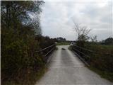
At the starting point, we notice signs for learning trail Koščeva učna pot, which point us on the path which continues by the right bank of the river Iška. The path, by which there are few marks of a learning trail, quickly brings us to a smaller crossing, from which we continue on a paved path to the near bird observatory.
From the observatory we return to a crossing, and then we go right and we continue on learning trail Koščeva učna pot. Further, the path that runs on flooding area of Ljubljana marshes, is more and more turning to the right, and then it brings us on a macadam road which we follow to the right and we also immediately leave it, because right from the road continues parallel footpath. A little further, we return on the road, and when the road turns left, we continue right on a footpath which then crosses few smaller streams. The path ahead leads us also past the hunting observatory, and a little ahead we reach the other macadam road which we follow to the right, and there we walk to the spot, where we started.
Description and pictures refer to a condition in the year 2016 (November).
Pictures:
 1
1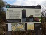 2
2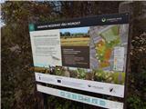 3
3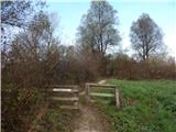 4
4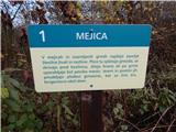 5
5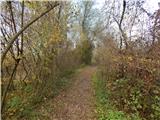 6
6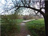 7
7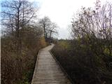 8
8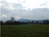 9
9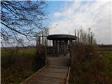 10
10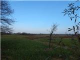 11
11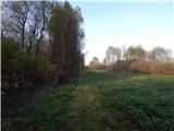 12
12 13
13 14
14 15
15 16
16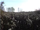 17
17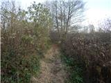 18
18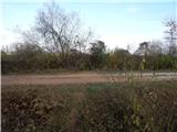 19
19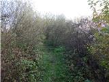 20
20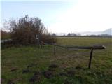 21
21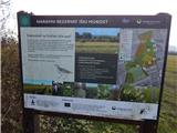 22
22 23
23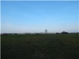 24
24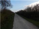 25
25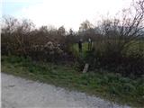 26
26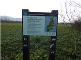 27
27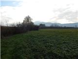 28
28 29
29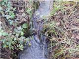 30
30 31
31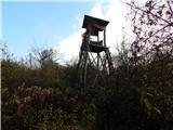 32
32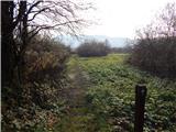 33
33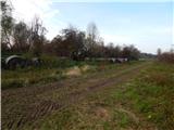 34
34 35
35 36
36 37
37 38
38