Koroška Bela (RC Kres) - Potoška planina (hunting path Čez skalo)
Starting point: Koroška Bela (RC Kres) (630 m)
Starting point Lat/Lon: 46.4307°N 14.0982°E 
Path name: hunting path Čez skalo
Time of walking: 2 h
Difficulty: partly demanding unmarked way
Difficulty of skiing: no data
Altitude difference: 640 m
Altitude difference (by path): 640 m
Map: Karavanke - osrednji del 1 : 50.000
Access to starting point:
From highway Ljubljana - Jesenice we go to the exit Lipce (Jesenice vzhod) and we drive right, towards Jesenice. At the first traffic light crossroad (Slovenski Javornik) we turn right in the direction of Lj. Next follows the second crossroad with traffic lights, where we turn left and drive through the railway underpass. At the next smaller crossroad we go right towards Koroška Bela. At the chapel on the left we follow the signs "cerkev, park talcev" and we turn left. The road higher, behind the double turn brings us in the center of the village, where there stands a chapel. From here we continue driving straight past the bridge over a stream Bela on the right. At the next crossroad, we turn sharply left, uphill where we cross another road (Koroška ulica) and we continue all the way to space at the end of the settlement, where we run into abandoned tennis court (RC Kres).
Path description:
From the starting point, we return back on the road to a crossroad with street Koroška ulica, where we turn left. After a short time we join the main road, on which we continue past last houses on the northern part of the village. By gentle ascending the road passes into a stone cart track which leads us past a water storage on the right, towards the gable of the valley. The path on forest edge soon brings us to a crossing by the stream, where we continue left. A little higher, the path crosses right tributary of the stream and in a gentle ascent continues to the next nearby crossing, on which we continue right by the stream (slightly left Debelo brdo). The path that is occasionally similar to rough cart track by the stream at first crosses one more right tributary on the left, after this takes us through shorter gorge. When the valley again widens a little we cross a stream and we continue on a cart track which for a short time avoids a riverbed of the stream. Higher, the path again gets closer to the stream and at a little bigger rock it seems like it ends. Here we cross a stream and only for a short time, we continue on the left side (right bank), whereupon we again cross to the right side (left bank), where the path becomes again easier to follow. When only a little higher brings us into the forest, the path avoids the stream and turns right on forest slope. After a short ascent, the path again turns right, widen and by ascending crosses a slope towards the south. On the right, a little lower we can notice a hunting observatory, soon we run into remains of a hayloft above which we continue to the right, on a little hard to follow path, which by ascending still crosses a slope in the same direction. When higher the steepness decreases, the path at a small stream vanishes, and we step out of the forest on a little swampy meadow (Spodnji rovti). After the crossing of a meadow (pathless) we come on the eastern part of Rovti, where we go left (north), uphill towards the end of it, where in front of us we notice partly rocky peak (also Zgornji Obešnik). Before here noticed path, which turning slightly right brings us back into the forest, we go left, and we cross south foot of the slope of the mentioned summit towards the north-west (pathless). When in short we come to a western edge, on a slope from the right we notice few meters high, upright boulder, to which we ascend. Here we run into a narrow footpath which ascends and at first crosses a steep slope towards the north. Soon the path turns right and a little higher brings us on a rocky and open part of a slope, where views open up on more sides. After the rocky part path on a slightly exposed part turns left, on quite steep, forest slope. When we ascend to the summit, we can enjoy nice views towards the valley. Here we also notice on rock attached stand of a device for measurement of field movements. We continue on in parts narrow ridge of the peak, towards the north. When after this in the forest part we cross a grazing fence we leave the path (that continues slightly to the left on a slope) and we ascend straight over a smaller clearing over which we see the slopes of Potoški Stol. We quickly find ourselfs on an ample pastures of Potoška planina, where for a short time, we continue by the left edge of the forest, and a little higher we cross part of the pasture towards the east. When we run into a riverbed of the stream, next to it and crossing of the grazing fence (little higher) we continue upwards on a pasture, all the way to a shepherd hut on Potoška planina.
Pictures:
 1
1 2
2 3
3 4
4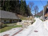 5
5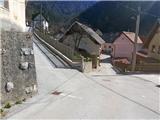 6
6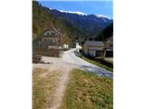 7
7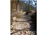 8
8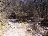 9
9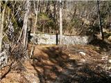 10
10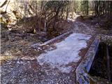 11
11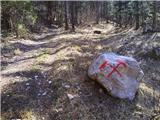 12
12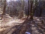 13
13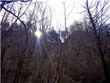 14
14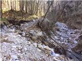 15
15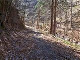 16
16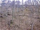 17
17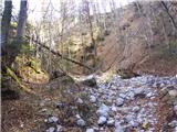 18
18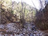 19
19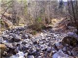 20
20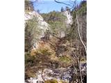 21
21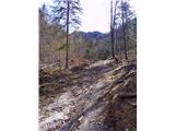 22
22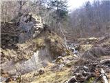 23
23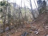 24
24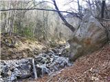 25
25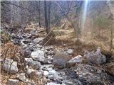 26
26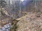 27
27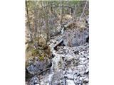 28
28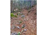 29
29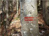 30
30 31
31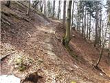 32
32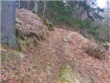 33
33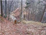 34
34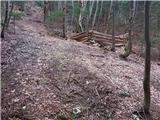 35
35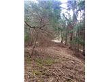 36
36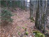 37
37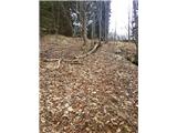 38
38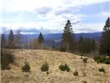 39
39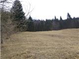 40
40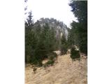 41
41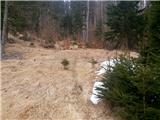 42
42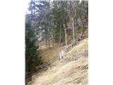 43
43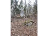 44
44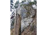 45
45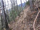 46
46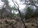 47
47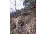 48
48 49
49 50
50 51
51 52
52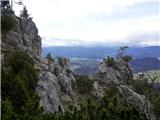 53
53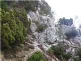 54
54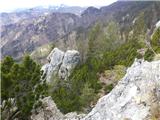 55
55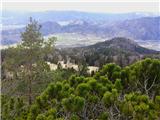 56
56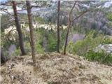 57
57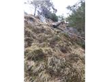 58
58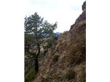 59
59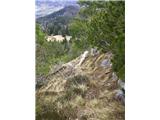 60
60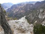 61
61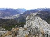 62
62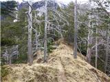 63
63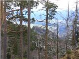 64
64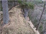 65
65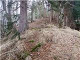 66
66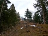 67
67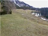 68
68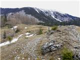 69
69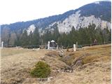 70
70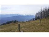 71
71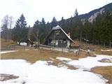 72
72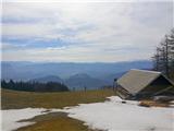 73
73