Liboje - Kamčič (via organic farm Kralj - southern approach)
Starting point: Liboje (324 m)
Starting point Lat/Lon: 46.20976°N 15.20439°E 
Path name: via organic farm Kralj - southern approach
Time of walking: 1 h 10 min
Difficulty: easy marked way
Difficulty of skiing: no data
Altitude difference: 201 m
Altitude difference (by path): 220 m
Map: Celjska kotlina, 1:50000
Access to starting point:
From highway Ljubljana - Maribor we go to the exit Žalec and then we drive towards Arja vas. At the crossroad at the end of the village, we continue straight in the direction of Liboje. In Liboje we turn left in the direction of Košnica pri Celju and we follow the road approx 850 meters to a large private parking lot and a yellow house by the crossroad, where a road branches off to the right, which leads towards organic farm Kralj. At this crossroad there are also self service stall of the mentioned farm and a cute signpost for organic farm Kralj. At the latter signpost there is also a signpost for Šmohor and Veliki Slomnik. We can park on an appropriate place near the described starting point.
Path description:
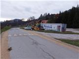
From the above described starting point (picture 1) we follow the signpost towards organic farm Kralj and Šmohor on the asphalt road slightly uphill. 350 meters before the described starting point, there is also an alternative starting point (picture 2) at the crossroad at the chapel, where on the tree there is also a signpost for Šmohor and Veliki Slomnik. Both paths from both starting points join on a macadam road approx 700 meters ahead. Weakness of the alternative starting point is, that nearby there isn't any convenient parking spot.
From the first starting point we further follow the asphalt road approx 200 meters to organic farm Kralj, and then we continue in the same direction on the macadam road which branches off towards the stream, which runs below the wall Libojska stena of Veliki Slomnik. The road at the last homestead before the stream passes into a footpath which runs just by the stream. And we soon step on a macadam road which is coming from the right from the direction of alternative starting point. And we go to the left in the direction of Šmohor. Further a macadam road passes into the arms of the forest. We continue to a crossing, where to the left leads the path towards Veliki Slomnik and to the right towards Šmohor.
We continue to the right in the direction of Šmohor slightly upwards in the arms of the forest. A marked path runs on the forest road right-left, the steepness is increasing, and here there past some lonely homestead or a holiday cottage. We soon get to a crossing, where from the left joins the path from Tremerje. We follow a still forest road upwards, but only few meters to the first crossroad, where we continue slightly to the right downwards on the macadam road, and with that we leave the marked path towards Šmohor. We follow the road only few ten meters and then we continue on the first cart track which branches off right downwards. We soon get to a saddle on the south side of Kamčič, where we continue in the same direction towards the ridge. Kamčič has on its broad ridge five less distinct peaks, among which the highest is the middle one, which is situated closer to the southern saddle, than it is to the northern precipitous wall. When we walk on the ridge, here and there a view opens up on neighbouring hills. From the top of Kamčič we can descend back towards the starting point on the same path, but it is worthed to continue also about 15 minutes to the end of the ridge of Kamčič, where a breathtaking view opens up on the top of a rocky northern precipitous wall, after which it probably also got its name. The view is nice practically on all sides, on surrounding hills and valleys, the most obvious is the view towards the quarry in Liboje, which has already penetrated deep into the eastern ridge of neighboring Kotečnik. From the vantage point I suggest a short descent towards the starting point towards the east (northern approach), on which we can conclude the circular path.
On the way: Veliki Slomnik (609m), Malič (936m), Dom na Šmohorju (784m)
Pictures:
 1
1 2
2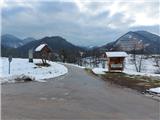 3
3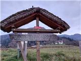 4
4 5
5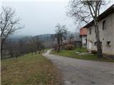 6
6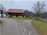 7
7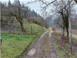 8
8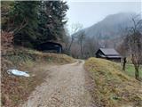 9
9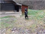 10
10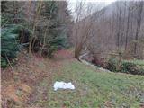 11
11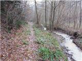 12
12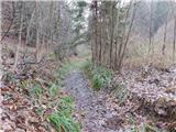 13
13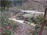 14
14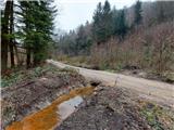 15
15 16
16 17
17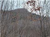 18
18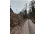 19
19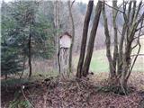 20
20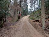 21
21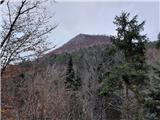 22
22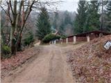 23
23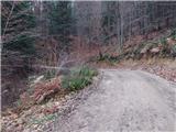 24
24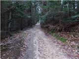 25
25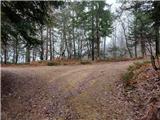 26
26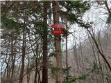 27
27 28
28 29
29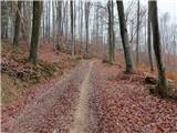 30
30 31
31 32
32 33
33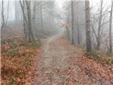 34
34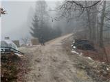 35
35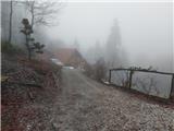 36
36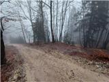 37
37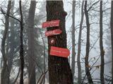 38
38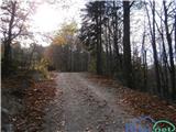 39
39 40
40 41
41 42
42 43
43 44
44 45
45 46
46 47
47 48
48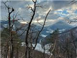 49
49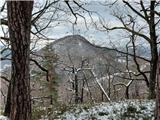 50
50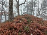 51
51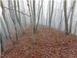 52
52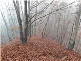 53
53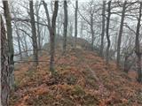 54
54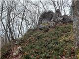 55
55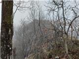 56
56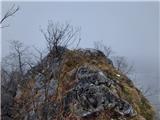 57
57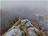 58
58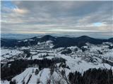 59
59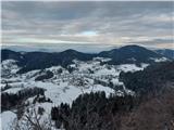 60
60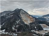 61
61 62
62