Starting point: Lipe (288 m)
Starting point Lat/Lon: 45.9977°N 14.4704°E 
Time of walking: 30 min
Difficulty: easy marked way
Difficulty of skiing: no data
Altitude difference: 1 m
Altitude difference (by path): 1 m
Map: Ljubljana - okolica 1:50.000
Access to starting point:
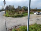
A) From highway Ljubljana - Koper we go to the exit Brezovica, and then we continue driving in the direction of Podpeč. At the beginning of Podpeč, still before the main roundabout we turn left in the direction of Črna vas and Ljubljana. Further, we drive through part of the village Jezero, and then we soon get to the settlement Lipe. At the sign for the end of the settlement, we turn left on a macadam parking lot, which is situated by the river Iška and opposite of snack bar Kolišče. The starting point is located only few meters before the main road crosses the river Iška.
B) From Ljubljana or south Ljubljana bypass highway (exit industrial zone Rudnik) we drive on the road Ižanska cesta, which we follow to the traffic light crossroad, where the road branches off towards Črna vas and Podpeč. Further, we drive through Črna vas, where the road leads us past famous Plečnik's church. At the bridge over the river Iška village Črna vas ends and village Lipe begins. Immediately behind the bridge we turn right on a macadam parking lot, which is situated by the river Iška and opposite of snack bar Kolišče.
Path description:
From the spot, where we've parked, we at first carefully cross the main road, and then we go on a narrower asphalt road which continues between the river Iška on the left and snack bar Kolišče on the right. Further, the road leads us past few more houses, and then the asphalt ends and the path leads us among meadows and fields of Ljubljana marshes. With a view on Krim, Sveta Ana and surrounding hills, we quickly get to a smaller crossroad, by which there is an information board "Pot ob reki Iški" (Path by the river Iška).
At the board we leave the macadam road and we continue left over a small bridge over the river Iška. Immediately behind the bridge we get to the beginning of a circular path named learning trail Koščeva učna pot. We follow the mentioned path to the left, and we walk there to the nearby crossing, where a short path branches off to the right towards the viewpoint Iški morost. The last part of the path towards observatory is paved.
We can return on the same path, or we can from the crossing near the observatory continue on a circular path, which brings us to the above mentioned bridge.
Pictures:
 1
1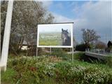 2
2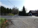 3
3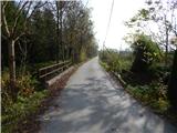 4
4 5
5 6
6 7
7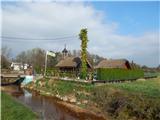 8
8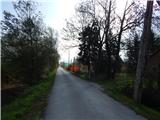 9
9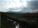 10
10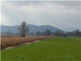 11
11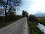 12
12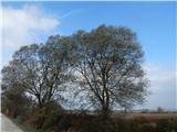 13
13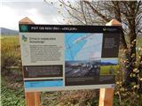 14
14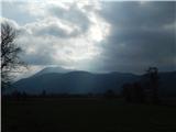 15
15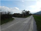 16
16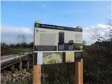 17
17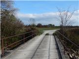 18
18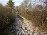 19
19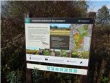 20
20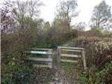 21
21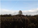 22
22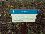 23
23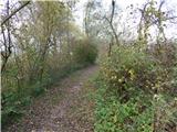 24
24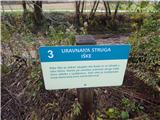 25
25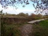 26
26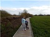 27
27 28
28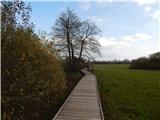 29
29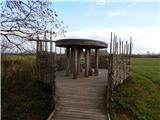 30
30