Marija Reka (Strgar) - Golava
Starting point: Marija Reka (Strgar) (450 m)
Starting point Lat/Lon: 46.2079°N 15.0884°E 
Time of walking: 1 h 15 min
Difficulty: difficult marked way
Difficulty of skiing: demanding
Altitude difference: 384 m
Altitude difference (by path): 384 m
Map: Posavsko hribovje - zahodni del 1:50.000
Access to starting point:
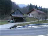
From highway Ljubljana - Celje we go to the exit Šentrupert (from Ljubljana) or Šempeter (from Celje) and we continue driving in the direction of Prebold and Trbovlje. After Prebold road brings us in the village Marija Reka, where we continue driving by the stream ahead. When on the left side of the road, we notice mountain signposts (those are located over a small bridge, on the other side of the stream by the edge of a house), we park on a parking lot by the road (parking lot is located 100 meters before the beginning of the path, and another parking lot is 500 meters above the beginning of the path).
Path description:
From the parking lot, we at first walk, by the main road to the beginning of the footpath, we cross a small bridge and then between two houses and gardens, we ascend on the path which goes into the forest. The path which ascends steeply already after few ten strides, brings us on a cart track which we quickly leave because blazes point us to the right upwards on badly beaten but marked footpath. Still bad and overgrown path a little higher brings us to a decaying house. Before the house path turns left (badly marked) and ascends diagonally above it. After approximately half an hour of walking, we come to a farm, where there is a crossing. We continue straight in the direction of Golava and immediately after the house we turn right. After additional few steps, the caption on a tree informs us, that we will continue the ascent on a demanding path. The path is then for some time ascending gently, and then it quickly becomes pretty steep. Further, we are ascending on an increasingly steep path, which mostly runs through the forest (exceptions are rare vantage points). And soon the path brings us below a shorter rocky cliff, which we avoid left on very steep but secured slopes. With the help of a steel cable we cross this slope, after which the steepness only slightly decreases. Further, we are ascending on a steep and in wet for slipping dangerous path, on which we occasionally have to help ourselves with hands. A little below the summit, the steepness decreases and the path brings us to bivouac on Golava.
Pictures:
 1
1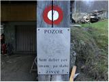 2
2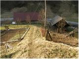 3
3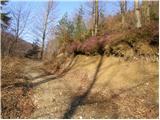 4
4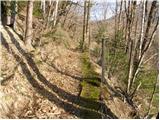 5
5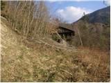 6
6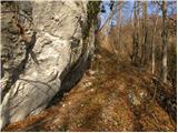 7
7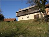 8
8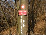 9
9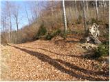 10
10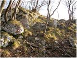 11
11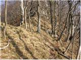 12
12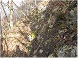 13
13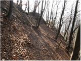 14
14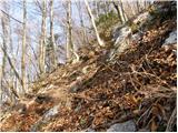 15
15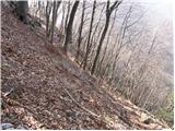 16
16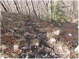 17
17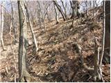 18
18 19
19