Preserje - Hunting cottage Plehanov laz
Starting point: Preserje (360 m)
Starting point Lat/Lon: 45.9548°N 14.4164°E 
Time of walking: 1 h 10 min
Difficulty: easy unmarked way
Difficulty of skiing: no data
Altitude difference: 265 m
Altitude difference (by path): 280 m
Map: Ljubljana - okolica 1:50.000
Access to starting point:
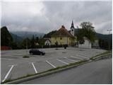
From highway Ljubljana - Koper we go to the exit Brezovica, and then we continue driving in the direction of Podpeč. In Podpeč, from where also roads from Črna vas and Ig join, we continue right in the direction of Krim, Rakitna and Borovnica. The road towards Borovnica we follow for a short time, and then signs for Rakitna point us to the left upwards on a little narrower and mainly steep road which we then follow to the settlement Preserje. In Preserje road towards Rakitna branches off sharply to the left, and we continue straight in the direction of Kamnik pod Krimom. From the crossroad, we follow the main road few 10 meters more, and then we turn left towards a parish church of St. Vid in Preserje, in front of which we park on a large asphalt parking lot.
Path description:
From the parking lot, we return to the main road, on which we start descending towards Kamnik pod Krimom. After a short descent, we get to the mentioned settlement, and the road then stops descending, or is then even slightly ascending. The path ahead leads us past a bigger chapel, behind which still before the church of St. Florijan, we get to a crossroad, where we leave the main road and we continue left.
Kamnik pod Krimom then quickly ends, and further macadam road brings us into the forest and few minutes higher also at the smaller crossroad, where we continue left. Further, we are ascending diagonally on slopes of Tisovec (619 meters) and Srednji vrh (555 meters), and after a cross, which we notice on the left side, we get into a smaller valley and crossroad. Here we continue on the left wider road which passes on slopes of the peak Štanga (644 meters), and the right road leads towards Globoka dolina. Higher, the road becomes a little steeper and later joins the main road Preserje - Rakitna, and we follow it to the right. By the main road we walk approximately 500 meters and then signs for hunting lodge (lovski dom) point us to the right on a macadam road.
Macadam road at first leads by the edge of a larger meadow, and then passes into the forest, where at first a wide cart track or worse road branches off to the left. Here we continue on a wider road, after that only a little further, at the next crossroad left towards the hunting lodge, which we reach after few additional strides.
On the way: Kamnik pod Krimom (355m)
Pictures:
 1
1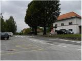 2
2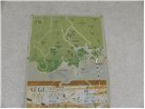 3
3 4
4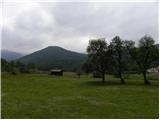 5
5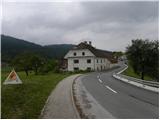 6
6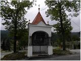 7
7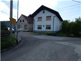 8
8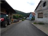 9
9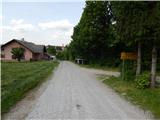 10
10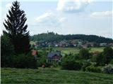 11
11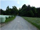 12
12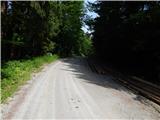 13
13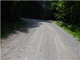 14
14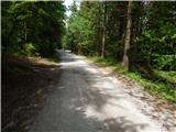 15
15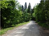 16
16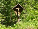 17
17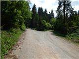 18
18 19
19 20
20 21
21 22
22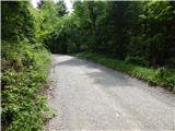 23
23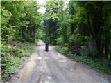 24
24 25
25 26
26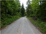 27
27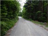 28
28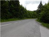 29
29 30
30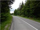 31
31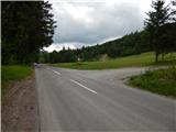 32
32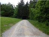 33
33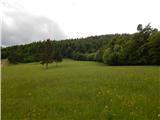 34
34 35
35 36
36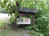 37
37 38
38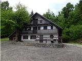 39
39 40
40