Rifugio Selvapiana I.Lunelli - Croda Sora I Colesei / Arzalpenkopf (via Forcella Popera)
Starting point: Rifugio Selvapiana I.Lunelli (1568 m)
Starting point Lat/Lon: 46.6333°N 12.4182°E 
Path name: via Forcella Popera
Time of walking: 2 h 30 min
Difficulty: easy marked way
Difficulty of skiing: no data
Altitude difference: 753 m
Altitude difference (by path): 775 m
Map:
Access to starting point:
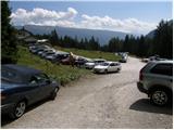
Over the border crossing Rateče or Predel we drive to Trbiž / Tarvisio, and then we continue driving on the highway towards Videm / Udine. At the settlement Tolmezzo we leave the highway, and then we continue driving in the direction of the settlement Ampezzo and mountain pass Passo della Mauria. After the mountain pass road starts descending and brings us into a valley Cadore, where we continue right in the direction of the settlement Auronzo. A little before the mentioned settlement we go right and we continue driving towards Alpine mountain pass Passo Monte Croce. Still before the road starts more seriously ascending towards the mentioned mountain pass, we continue left in the direction of valley Val Grande. Ahead we drive on narrower and mostly asphalt road which we follow to the parking lot at the mountain hut Rifugio Selvapiana I. Lunelli.
Path description:
From the parking lot, we continue on a macadam road which already after few minutes changes into a wide footpath. The path soon passes out of the forest, where soon brings us to a smaller bridge over which we cross clear stream. The path ahead starts moderately ascending towards the gable of valley, which beside numerous peaks, is adorned also by relatively large waterfall. At gable of valley marked path turns to the left and then in few hairpin turns ascends above the waterfall. Higher through bridges we cross some streams, and then the path in few minutes of additional walking on occasionally steeper path brings us to a marked crossing. Here we continue right and after a short ascent, we get to the mountain hut Rifugio Berti.
From the mountain hut, we continue right in the direction of "Passo Monte Croce" and "Rifugio Sala" and we continue the ascent on at first gently sloping path, which after few minutes of walking, it brings us to the next crossing. This time we continue left in the direction of Forcella Popera (straight mountain pass Monte Croce) on the path which for few meters steeply ascends, and then it entirely flattens. Next follows few minutes easy walk by the foot of the peak Belvedere, and then we get to the next crossing.
We continue left in the direction of Percorso Vallon Popera (right Belvedere 5 minutes) on the path which is for some time barely ascending. Next follows a good 10 minutes of easy walking, and then the path starts ascending steeper towards the saddle Forcella Popera, which we reach without any bigger problems.
Here, from where a beautiful view opens up towards the north, we continue right and we ascend over a short steep and slightly exposed slope, which ends on a gentle grassy slope. Next follows a short descent and from the right joins the path over the peak Belvedere. We continue left, we descend few meters into a smaller valley, and we are then gently ascending towards indistinct notch. Just before the notch marked path turns to the right and starts ascending steeply towards the summit of the mountain, peak of which we reach after approximately 10 minutes of additional walking.
Pictures:
 1
1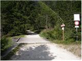 2
2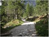 3
3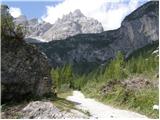 4
4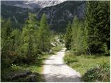 5
5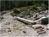 6
6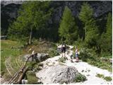 7
7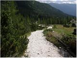 8
8 9
9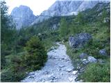 10
10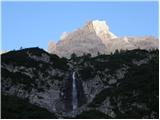 11
11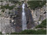 12
12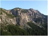 13
13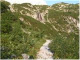 14
14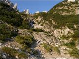 15
15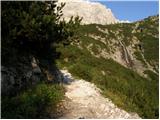 16
16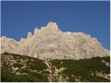 17
17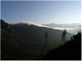 18
18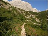 19
19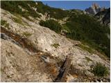 20
20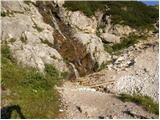 21
21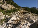 22
22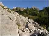 23
23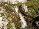 24
24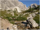 25
25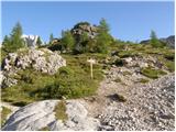 26
26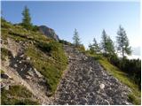 27
27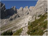 28
28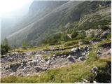 29
29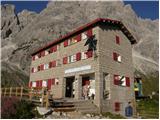 30
30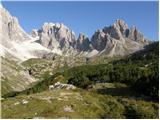 31
31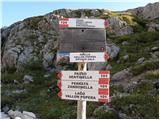 32
32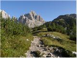 33
33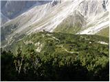 34
34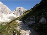 35
35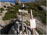 36
36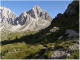 37
37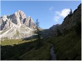 38
38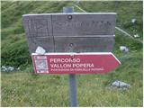 39
39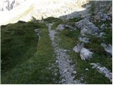 40
40 41
41 42
42 43
43 44
44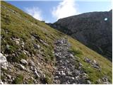 45
45 46
46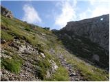 47
47 48
48 49
49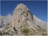 50
50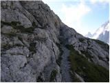 51
51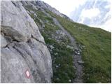 52
52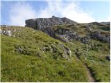 53
53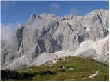 54
54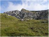 55
55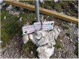 56
56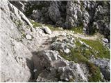 57
57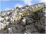 58
58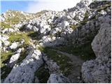 59
59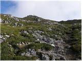 60
60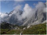 61
61 62
62 63
63 64
64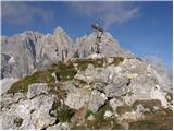 65
65 66
66