Road on Zaplana - Strmica
Starting point: Road on Zaplana (566 m)
Starting point Lat/Lon: 45.9494°N 14.2389°E 
Time of walking: 10 min
Difficulty: easy unmarked way
Difficulty of skiing: no data
Altitude difference: 60 m
Altitude difference (by path): 60 m
Map:
Access to starting point:
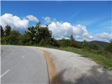
From the old road Vrhnika - Logatec, at the crossroad at the bus stop Cesarski Vrh, we turn in the direction of Zaplana, to where according to the road sign is 3 km. Further, we drive on an ascending road, from which soon after the right hairpin turn, a macadam road branches off to the left. We park on an appropriate place by the crossroad.
Path description:
From the starting point, we continue on the macadam road which is moderately ascending, and from there only for some time a view opens up a little towards Krim and Ljubljanski vrh. A little higher, at the smaller crossroad we continue right, and then past the holiday cottage, we get below the peak of Strmica, from where a nice view opens up mainly towards the east.
Access on the very peak because of the military area isn't possible.
Description and pictures refer to a condition in the year 2015 (September).
Pictures:
 1
1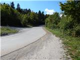 2
2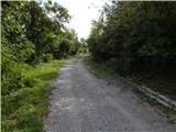 3
3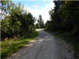 4
4 5
5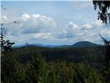 6
6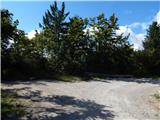 7
7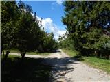 8
8 9
9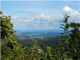 10
10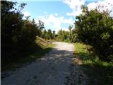 11
11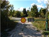 12
12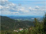 13
13