Slovenji Plajberk / Windisch Bleiberg - Singerberg / Žingarica (via saddle Albink / Halbingsattel)
Starting point: Slovenji Plajberk / Windisch Bleiberg (948 m)
Starting point Lat/Lon: 46.4902°N 14.2393°E 
Path name: via saddle Albink / Halbingsattel
Time of walking: 2 h 20 min
Difficulty: easy marked way
Difficulty of skiing: no data
Altitude difference: 641 m
Altitude difference (by path): 660 m
Map: Karavanke - osrednji del 1:50.000
Access to starting point:
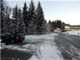
Over the border crossing Ljubelj we drive to Austria, and after few kilometers we turn left towards the valley Poden / Bodental. Next follows some ascent, and then we get to the settlement Slovenji Plajberk / Windisch Bleiberg, where we park on a parking lot below the church.
Path description:
From the parking lot below the church we continue straight and we quickly get to the inn Gasthaus Kirchenwirt, where the marked path on Žingarica / Singerberg branches off to the right. We continue by the inn on narrower, at first still asphalt road. At the crossroads, we follow the signs for Singerberg and we quickly get to a hamlet with few houses, where we go slightly left and through a smaller stream. Again follows a shorter ascent on the road, and from there we go right in an already known direction and through the panoramic part we pass into the forest. Through the forest, we are ascending and we quickly get to a marked crossing, and we choose a little longer path over saddle Albink / Halbingsattel.
Next follows a steeper ascent, when we ascend above the nearby cliff from its edge a nice view opens up on Karawanks, and the path here turns left and a little higher also crosses a stream.
Before we cross the stream we can on the left notice an entrance into former lead mine, and after the stream the path is for some time still steeply ascending. Higher, we for some time step on the forest road which soon after the left hairpin turn we leave, and then we few times cross it or for a short time, we also stay there. Eventually we go past a mighty larch, and behind it we step out of the forest on a panoramic slope, from which a wonderful view opens up on the main Karawanks with the highest Stol. Here the path for some time turns right in the forest and joins the road which we follow to the left and then we quickly reach the saddle Albink, where there is a marked crossing.
We continue on the right road in the direction of Singerberg (left road, on which we can ascend on Rabenberg, and slightly left road which descends on a saddle Vranjica / Orienzasattel), which starts ascending diagonally towards the left and during the ascent a nice view opens up towards the north. When we again reach the ridge of Singerberg we get to a nice viewpoint, where there is a bigger cross and next to it inscription box with an inscription book.
After the cross follows a light descent, and after paragliding take off point the road again starts ascending and by the edge of the forest splits.
We continue on a marked slightly left road which through a lane of a forest again brings us on a panoramic ridge, when we return into the forest, we soon reach the crossing, where from the right joins the direct path from Slovenji Plajberk.
We continue left in the forest on a marked footpath which ascends to survey point 1556. From the mentioned survey point follows some descent, and when we reach the road we go straight, still towards the east. Here the road passes on the southern slopes of the mountain, and we leave it on part, where a marked path turns from it slightly to the left. Next follows an ascent on a ridge path, and with occasional views we walk all the way to a cross on the top of Singerberg.
Slovenji Plajberk - Albink 1:20, Albink - Singerberg 1:00.
Description and pictures refer to a condition in the year 2019 (December).
On the way: Albink / Halbingsattel (1360m)
Pictures:
 1
1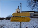 2
2 3
3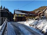 4
4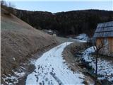 5
5 6
6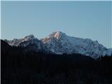 7
7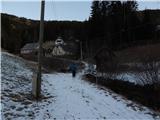 8
8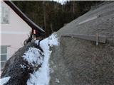 9
9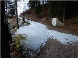 10
10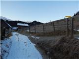 11
11 12
12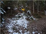 13
13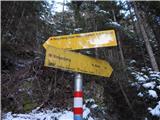 14
14 15
15 16
16 17
17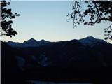 18
18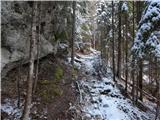 19
19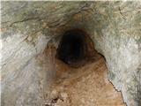 20
20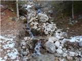 21
21 22
22 23
23 24
24 25
25 26
26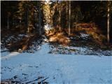 27
27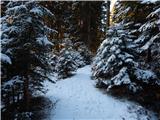 28
28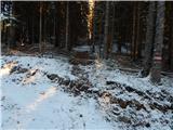 29
29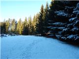 30
30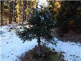 31
31 32
32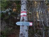 33
33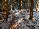 34
34 35
35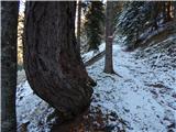 36
36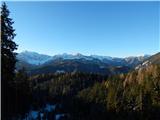 37
37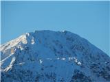 38
38 39
39 40
40 41
41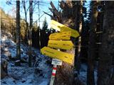 42
42 43
43 44
44 45
45 46
46 47
47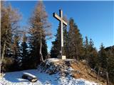 48
48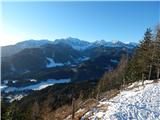 49
49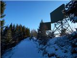 50
50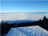 51
51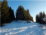 52
52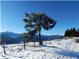 53
53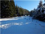 54
54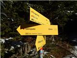 55
55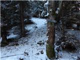 56
56 57
57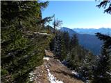 58
58 59
59 60
60 61
61 62
62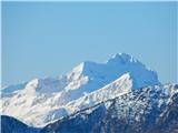 63
63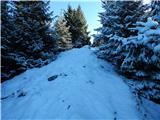 64
64 65
65