Spodnje Stranice (graves of hundred hostages) - Stolpnik (by road)
Starting point: Spodnje Stranice (graves of hundred hostages) (413 m)
Starting point Lat/Lon: 46.349°N 15.34653°E 
Path name: by road
Time of walking: 2 h
Difficulty: easy unmarked way
Difficulty of skiing: no data
Altitude difference: 599 m
Altitude difference (by path): 610 m
Map:
Access to starting point:
A) Highway Ljubljana - Maribor we leave at exit Celje east, and then we follow the signs for Vojnik and forward Frankolovo and Slovenske Konjice. On the road, we drive to Spodnje Stranice, where we will on the left side of the road, at red hiking signposts notice a parking lot, where we park.
B) Highway Maribor - Ljubljana we leave at exit Slovenske Konjice, and then we follow the signs for Slovenske Konjice, and later Stranice and Vojnik. From the roundabout in Stranice we continue straight and we drive to Spodnje Stranice, where we will on the right side of the road, at red hiking signposts notice a parking lot, where we park.
Path description:
From the parking lot, we go on the path in the direction of Stolpnik and at first we continue by the main road in the direction of Celje. We will soon get to a smaller crossroad, where we go left on a side road, by which continue the blazes, and we continue past few houses. Before the smaller bridge, by which there are hiking signposts we leave the marked path and we go sharply right on a macadam road, on which we continue. The road immediately passes into the forest and starts ascending diagonally towards the right. Higher, at two smaller crossroads we go straight or slightly right, and the road then below Jurjev vrh turns towards the east, where we then continue with a crossing. Further, we get to the slopes of Srobotni vrh, where occasionally nice views open up, which reach all the way from Pohorje to Kamnik Savinja Alps. After a long crossing we get to a crossroad, where we join the marked path, and we go right (left - Čretvež) and then after a minute of additional walking, we get to the hunting cottage Štepih.
At the hunting cottage, we leave the road and we continue left on a marked footpath in the direction of Stolpnik. Next follows a relatively short ascent through the forest and then we cross the forest road. Also on the other side of the road, we are ascending through the forest, and higher we go through a shorter panoramic part, from which a nice view opens up on part of Karawanks and on Pohorje. The path after that part returns into the forest, through which we continue all to the few minutes distant peak, where stands 25 meters high lookout tower.
Spodnje Stranice - Hunting cottage 1:35, hunting cottage - Stolpnik 0:25.
Description and pictures refer to a condition in December 2022.
Pictures:
 1
1 2
2 3
3 4
4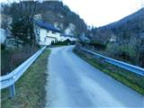 5
5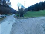 6
6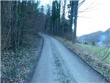 7
7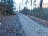 8
8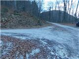 9
9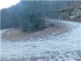 10
10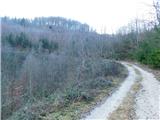 11
11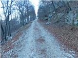 12
12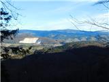 13
13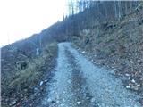 14
14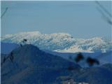 15
15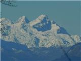 16
16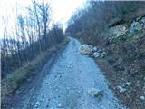 17
17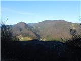 18
18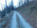 19
19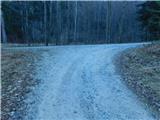 20
20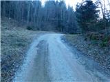 21
21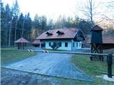 22
22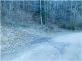 23
23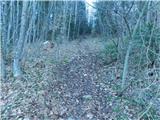 24
24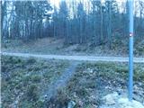 25
25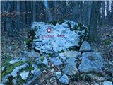 26
26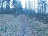 27
27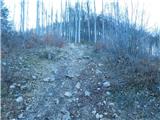 28
28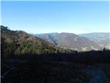 29
29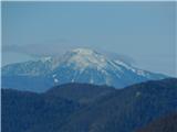 30
30 31
31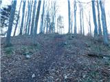 32
32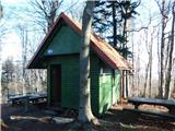 33
33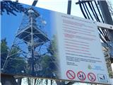 34
34 35
35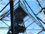 36
36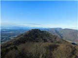 37
37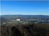 38
38 39
39