Srednji vrh - Mallestiger Mittagskogel (Via Grajšca)
Starting point: Srednji vrh (960 m)
Starting point Lat/Lon: 46.4894°N 13.8371°E 
Path name: Via Grajšca
Time of walking: 3 h 10 min
Difficulty: easy unmarked way
Difficulty of skiing: demanding
Altitude difference: 841 m
Altitude difference (by path): 930 m
Map: Kranjska Gora 1:30.000
Access to starting point:
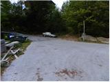
From highway Ljubljana - Jesenice we go to the exit Jesenice - west (Hrušica) and we continue driving in the direction Kranjska Gora. When we come in Gozd Martuljek we turn right in the direction of Srednji Vrh and on a narrow and steep road we drive to the mentioned settlement. When the road flattens a little, we will come to a crossroad of multiple roads and turning point. Here we park on an appropriate place by the crossroad.
Path description:
From the turning point on Srednji vrh, we continue towards the north, where we immediately get to a smaller crossroad. From the crossroad, we continue on the bottom right road which is with a traffic sign closed for public traffic. The road at first slightly descends, and then starts gently ascending past few houses, after which asphalt ends. On two successive smaller crossroads, which are situated only a little above the village, we continue left and then we for quite some time continue on a slightly ascending road which crosses larger number of torrents, gullies and streams. In the lower part of the path also view opens up a little on Martuljek mountain group, and then the road passes into the forest. First hour of walking, the road is gently to moderately ascending, and then it flattens and few times even descends a little. In the last part of the ascent on the road, forest gets thinner and the path brings us to the hunting cottage Hladnik, which is situated in the middle of a larger meadow.
Behind the hunting cottage we continue left, and the path immediately brings us to an unmarked crossing. Here we continue right into the forest and further we are ascending on a relatively steep cart track. A little higher we get to the next crossing of cart tracks, where we continue on the right one, which is further ascending diagonally towards the right. The mentioned cart track soon entirely flattens and it brings us to a smaller valley, where we cross the stream Hladnik. Immediately after the stream we turn left and we are for some time moderately ascending next to it, and then the path passes into a dense forest, where it starts ascending steeply. When after good 15 minutes of a steep ascent, the footpath brings us out of the forest, it flattens and slowly starts vanishing on grassy slopes of Grajšca. On some spots poorly visible path which runs on or by a valley, higher leads past a watering-place for animals, and valley only a little above the mentioned watering place splits into two parts.
We continue on the left longer and less steep valley, which is slowly turning more and more to the left. Here we will be able to, if we will be quiet enough and have a little luck, notice some marmots. In the middle of the upper part of Grajšca passage towards the border ridge branches off to the right, and we continue straight and through narrower valley start ascending through a thin larch forest. Valley higher narrows into a torrent gully, through which we ascend on a smaller saddle northwest from Murnovc.
Here we leave the path which leads towards Trupejevo poldne and we continue sharply right on a panoramic and dwarf pined ridge. The path on the ridge at first descends a little and then it starts ascending steeply, on at first quite crumbly slope. Already after few 10 meters path returns on the ridge, where it gradually flattens and it brings us on the secondary peak of Maloško poldne. Next follows a very short descent, and then the path gently ascends on Maloško poldne, peak from which a nice view opens up towards the lake Baško jezero.
On Maloško poldne we step on a marked path, and we follow it to the left (direction Ostra peč / Mallestiger Mittagskogel), where we pass over on entirely Austrian side. The path ahead at first steeply descends, and then it brings us to a marked crossing, where we continue right towards our destination. Next a short steep ascent follows and the path brings us on a little narrower, and partly exposed ridge. At the spot, where the ridge is the narrowest, we get help from two steel cables (each on one side), and the path then turns a little more to the right and it brings us on peak, in the middle of which stands a cross and on it an inscription box.
On the way: Lovska koča (1280m), Grajšca (1760m)
Pictures:
 1
1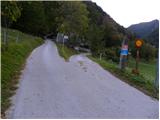 2
2 3
3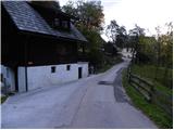 4
4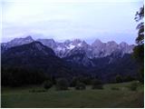 5
5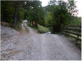 6
6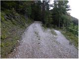 7
7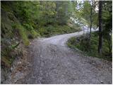 8
8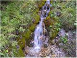 9
9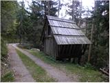 10
10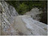 11
11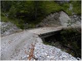 12
12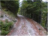 13
13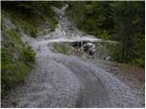 14
14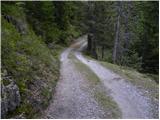 15
15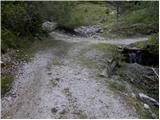 16
16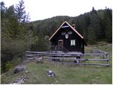 17
17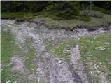 18
18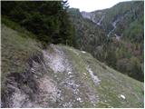 19
19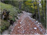 20
20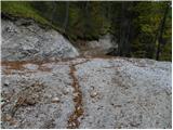 21
21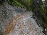 22
22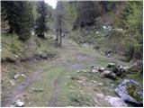 23
23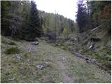 24
24 25
25 26
26 27
27 28
28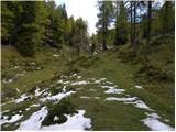 29
29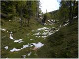 30
30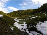 31
31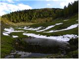 32
32 33
33 34
34 35
35 36
36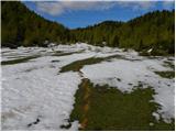 37
37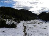 38
38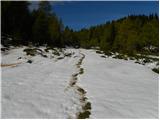 39
39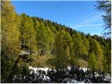 40
40 41
41 42
42 43
43 44
44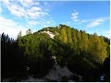 45
45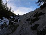 46
46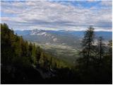 47
47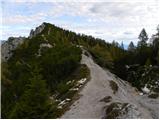 48
48 49
49 50
50 51
51 52
52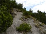 53
53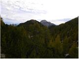 54
54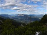 55
55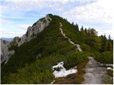 56
56 57
57 58
58 59
59 60
60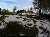 61
61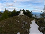 62
62 63
63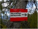 64
64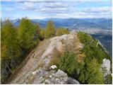 65
65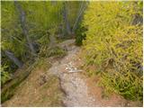 66
66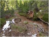 67
67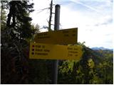 68
68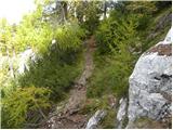 69
69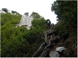 70
70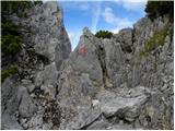 71
71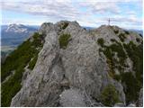 72
72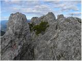 73
73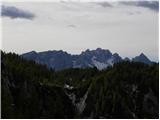 74
74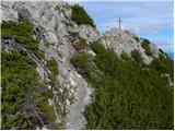 75
75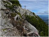 76
76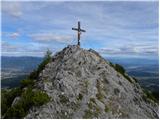 77
77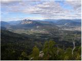 78
78 79
79