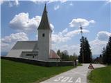
St. John the Baptist on Ojstrica - Huhnerkogel/Košenjak (via Sveti Urban)
Starting point: St. John the Baptist on Ojstrica (982 m)
Starting point Lat/Lon: 46.6193°N 15.0353°E 
Path name: via Sveti Urban
Time of walking: 2 h 50 min
Difficulty: easy unmarked way, easy marked way
Difficulty of skiing: no data
Altitude difference: 540 m
Altitude difference (by path): 625 m
Map: Koroška 1:50.000
Access to starting point:
We drive into the center of Dravograd (to here from Maribor through a valley Dravska dolina or from Velenje through Slovenj Gradec, where signs for Ojstrica point us on the road which after 6.5 km brings us to the church of St. John the Baptist on Ojstrica, near of which we park on a parking lot.
Path description:
From the parking lot at the church, we continue on the asphalt road, on which we quickly get to a marked crossroad, by which there are numerous signposts.
We continue right (straight normal path on Košenjak) in the direction of the church of St. Urban. The path ahead leads us on quite panoramic road which at the crossroads we follow in the direction towards St. Urban. After the farm Lonhtar, the path on Košenjak branches off to the left (path past the hunting cottage Bivak Piramida), and a little further we also cross the stream Potoški graben. After the stream, at the marked crossroad we continue slightly left in the direction towards Sveti Urban and farm Bogatec (slightly right - marked path to Pernice). We still follow the signs towards the already known direction, and the path higher leads past the green gate, which is preventing further driving. A little further at the unmarked crossroad we continue right, and then for some time we are lightly ascending towards the right. When a longer crossing ends, the road turns sharply left and it brings us on a meadow, in the middle of which stands the church of St. Urban.
From the church, we continue forward towards the west, where at the cross we notice the blazes. The path which is further gently ascending by the border line between Slovenia and Austria quickly brings us on 1367 meters high peak, which on the maps isn't named. The path descends from the peak on a slightly rocky slope, and then it brings us to a smaller wooden bivouac on the Austrian side of the path (the bivouac is usually locked). Further, the path which still runs on the border line is slightly ascending on more or less vegetated slope. Only rarely a view opens up a little on the Austrian side, where occasionally we see mountain chain Golica. And to the lonely forest path, eventually joins the path from the farm Lonhtar, or from Pernice. Even a little further, we come to a crossing, where from the left joins the normal path on Košenjak. Here we continue straight (right - Golica / Koralpe) and we follow the path to the top, which we reach in few ten strides of additional walking.
Ojstrica - Sveti Urban 1:20, Sveti Urban - Košenjak 1:30.
Pictures:
 1
1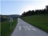 2
2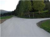 3
3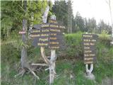 4
4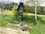 5
5 6
6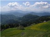 7
7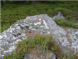 8
8 9
9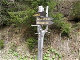 10
10 11
11 12
12 13
13 14
14 15
15 16
16 17
17 18
18 19
19 20
20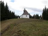 21
21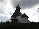 22
22 23
23 24
24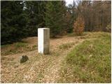 25
25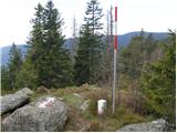 26
26 27
27 28
28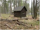 29
29 30
30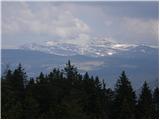 31
31 32
32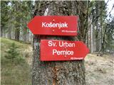 33
33 34
34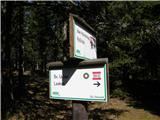 35
35 36
36 37
37 38
38 39
39