Starting point: Terbegovci (215 m)
Starting point Lat/Lon: 46.541°N 16.0313°E 
Time of walking: 1 h 20 min
Difficulty: easy marked way
Difficulty of skiing: no data
Altitude difference: 137 m
Altitude difference (by path): 160 m
Map:
Access to starting point:
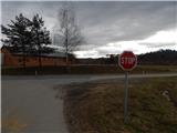
A) From highway Maribor - Lendava we go to the exit Sveti Jurij ob Ščavnici, and then we follow the signs for the mentioned settlement. Further, we follow the signs for Ptuj, and on the main road, we drive to a crossroad, where the road branches off to the right towards the settlement Terbegovci. At the crossroad, there is the beginning of the described path, because at the crossroad there aren't any appropriate parking spots, we park somewhere nearby on an appropriate place by the road.
B) We drive to Ptuj, and then we follow the signs for Gornja Radgona and Sveti Jurij ob Ščavnici. Still before the settlement Sveti Jurij ob Ščavnici, we get to a crossroad, where a road branches off to the left towards Terbegovci. At the crossroad, there is the beginning of the described path, because at the crossroad there aren't any appropriate parking spots, we park somewhere nearby on an appropriate place by the road.
Path description:
From the crossroad, we continue by the main road in the direction towards Ptuj, and we walk there few minutes or to the spot, where blazes point us to the left on a side road, by which there are also signs for winery (vinotoč). Next follows an ascent on the asphalt road which leads us between individual houses of the nearby hamlets, where at the crossroads we follow the blazes. Higher, the asphalt ends, and few minutes ahead we get to the settlement Grabšinci, where the road again becomes asphalted. Next follows few shorter ascents and descents, and at the crossroads, we still follow the blazes. Later we get to the settlement Mali Moravščak, and a little further to a crossroad, where we reach a little wider road which we follow to the right. On the mentioned road, we continue only few minutes, and then still before the next crossroad we go left into the forest, where for a short time, we are ascending on a forest path, and then we return on the asphalt road which we follow upwards (to the right we would return to the mentioned crossroad).
Few minutes we are still moderately ascending and we walk past houses, and higher from the left joins the path from Rucmanci and Trnovci.
Follows only few 10 strides of walking and we get to snack bar Okrepčevalnica pri Stolpu, and few steps ahead also to a lookout tower on Gomila.
Description and pictures refer to a condition in January 2022.
On the way: Piviči (275m), Grabšinci (289m), Mali Moravščak (295m)
Pictures:
 1
1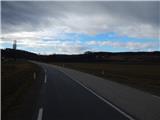 2
2 3
3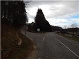 4
4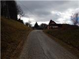 5
5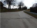 6
6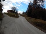 7
7 8
8 9
9 10
10 11
11 12
12 13
13 14
14 15
15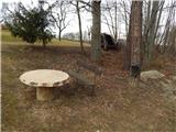 16
16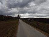 17
17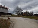 18
18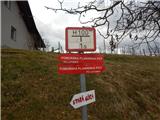 19
19 20
20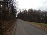 21
21 22
22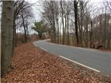 23
23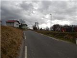 24
24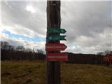 25
25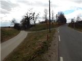 26
26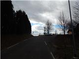 27
27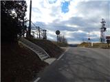 28
28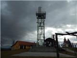 29
29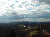 30
30