Baumgartnerhof - Mallestiger Mittagskogel
Starting point: Baumgartnerhof (950 m)
Starting point Lat/Lon: 46.5385°N 13.9049°E 
Time of walking: 3 h 15 min
Difficulty: easy marked way
Difficulty of skiing: no data
Altitude difference: 851 m
Altitude difference (by path): 885 m
Map:
Access to starting point:
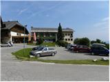
A) Over the border crossing Korensko sedlo we drive to Austria and then we continue right towards Beljak / Villach. Still before we cross river Zilja / Gail, we leave the road which leads towards Beljak and we continue driving right in the direction of the lake Baško jezero / Faaker See. Further, we drive towards the mentioned lake, and in the settlement Bekštanj / Finkenstein we turn right towards Škocjan / Kanzianiberg and Stari Grad / Altfinkenstein. Further, we drive on local roads, which at the crossroads we follow in the direction of the hotel Baumgartnerhof. We park on a parking lot near the mentioned hotel.
B) Through the Karawanks Tunnel, we drive to Austria and we leave the highway at first exit. At the settlement Kot / Winkl we turn right and we continue driving towards the lake Baško jezero / Faaker See. At the end of the settlement Loče / Latschach we turn left in the direction of the hotel Baumgartnerhof. We park on a parking lot near the mentioned hotel.
Path description:
From the parking lot, we continue on stairs following the signs »Mallestiger Mittagskogel«, »zum Wasserfall«. Already after few meters climbing path branches off to the left, and we continue straight and we start ascending through the forest. The path then for a short time comes out of the forest and it is ascending on grassy slopes by the edge of the forest and then the path turns to the left and then follows a little less steep part of the path through the forest. A wide path brings us to a crossing, where another path branches off to the left towards the waterfall and climbing path. We continue right and again a little steeper path brings us on the road on which we continue left. The road then soon ends, and signs point us on a footpath right upwards. After a short ascent, we come to a crossing where from the left joins the climbing path.
At the crossing, we continue straight and we are still ascending on the right side of the valley. The path then brings us to the vantage point where there are also a bench and a cross. From the vantage point where there is a nice view towards some smaller waterfalls we continue right and we are ascending through the forest. Next follows hairpin ascent by a smaller stream by the edge of the forest. Due to the forest only rarely views open up on surrounding peaks. Higher, the path becomes slightly less steep and it brings us to hut Mitzl Moitzl Hütte.
At the hut we continue a little to the left and we start ascending through larch forest. Higher, the path turns slightly to the right and a short ascent follows to a crossing on the border ridge.
When we step on the ridge, we continue right (left Kresišče) and we start moderately ascending. The path, from which through occasionally quite thin larch forest, beautiful views opening up towards Austria, and partly towards the Julian Alps, we follow all the way to the top named Maloško poldne.
From the top, where there joins also an unmarked path from Slovenian side we continue right downwards. The path at first steeply descends, and then it flattens and passes on a ridge, where we get help from some fixed safety gear. Next follows a short ascent, and then the path turns to the right and it brings us to the top of Ostra peč / Mallestiger Mittagskogel, where there stands a cross.
Pictures:
 1
1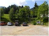 2
2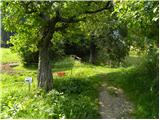 3
3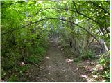 4
4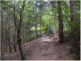 5
5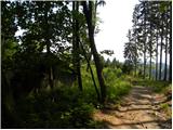 6
6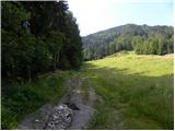 7
7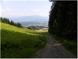 8
8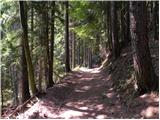 9
9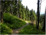 10
10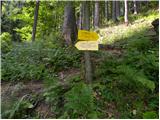 11
11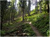 12
12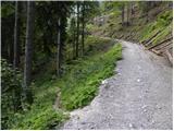 13
13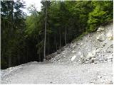 14
14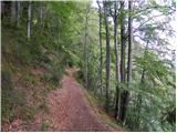 15
15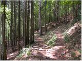 16
16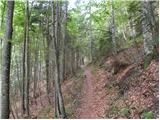 17
17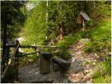 18
18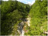 19
19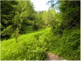 20
20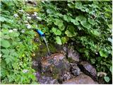 21
21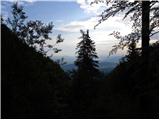 22
22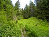 23
23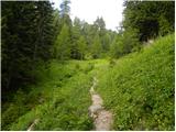 24
24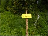 25
25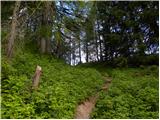 26
26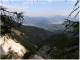 27
27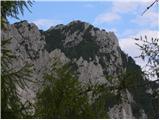 28
28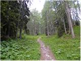 29
29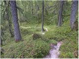 30
30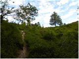 31
31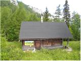 32
32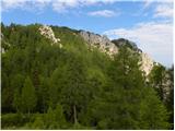 33
33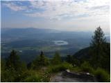 34
34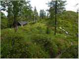 35
35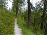 36
36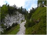 37
37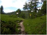 38
38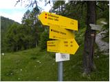 39
39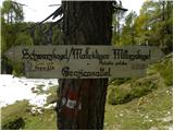 40
40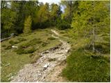 41
41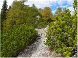 42
42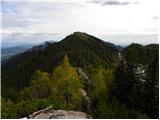 43
43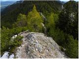 44
44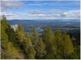 45
45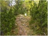 46
46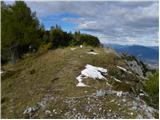 47
47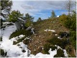 48
48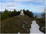 49
49 50
50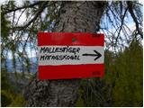 51
51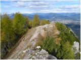 52
52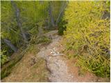 53
53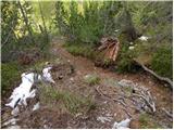 54
54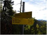 55
55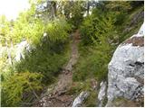 56
56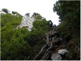 57
57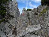 58
58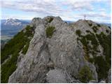 59
59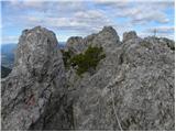 60
60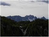 61
61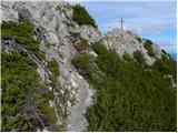 62
62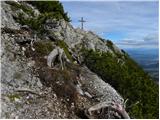 63
63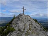 64
64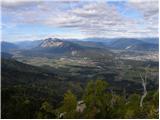 65
65 66
66