border crossing Rateče - The lake Zgornje Mangartsko jezero
Starting point: border crossing Rateče (851 m)
Starting point Lat/Lon: 46.497°N 13.704°E 
Time of walking: 1 h 5 min
Difficulty: easy unmarked way
Difficulty of skiing: no data
Altitude difference: 78 m
Altitude difference (by path): 135 m
Map: Julijske Alpe - zahodni del 1:50.000
Access to starting point:
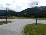
First, we drive to Kranjska Gora, and then we continue driving towards Rateče and Italy. We park at an appropriate place by the border crossing.
To the starting point, we can get to also over the border crossing Predel.
Path description:
By border crossing, opposite of Kompas Shop, we notice signs for cycling path which leads towards Trbiž / Tarvisio and lakes Mangartska jezera / Laghi di Fusine. We go on the mentioned path, which at first leads towards the south, then quickly brings us into a lane of a forest, where we join the asphalt cycling path which leads from Kranjska Gora towards Trbiž. Mentioned cycling path we only cross and we continue straight on a macadam road which already after few meters turns right. From the road at first still a nice view opens up towards Mala Ponca, Visoka Ponca and other surrounding mountains, and then the road passes into the forest. Next follows some smaller crossings, where we continue straight, and after the bridge through torrent, on a little bigger crossroad we continue slightly right downwards. The road quickly flattens and it brings us to the nearby house, which we bypass on the left side and we continue on a wide forest cart track, on which we are mostly lightly descending. A little further, we join the cycling road which we follow to the left. On the road, we ascend a little and then we get to a smaller hamlet Scicchizza.
At the mentioned hamlet we cross the stream Jezerski potok, and behind it we step on the road, on which we can get to lakes Mangartska or Belopeška jezera with a car. We follow the road to the left, and it leads past the parking lot. After the parking lot well-settled tourist path branches off to the right, on which we continue the ascent by stream Jezerski potok. Few minutes we are ascending by scenic stream and by numerous sources, and then we get to the lake Spodnje Mangartsko jezero. Here we continue right and in a minute or two of additional walking, we get to the nearby snack bar, from where there is a nice view towards Mangart.
From the snack bar we return to a dam, we cross a small bridge, and then we continue between the road and the lake, and a little further only by the lake. On the other side of the lake path splits, and we continue straight in the direction of the lake Zgornje Mangartsko jezero (right path leads circular around bottom lake).
We continue on a cart track which passes into the forest and turns right. On this part cart track for some time steeply ascends, and then it flattens and it brings us to the next crossing, this time near the climbing area. Here we continue left and then we gradually start descending. After a short descent, we get to the lake Zgornje Mangartsko jezero and a viewpoint on surrounding mountains.
.
Description and pictures refer to a condition in the year 2015 (June).
Pictures:
 1
1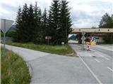 2
2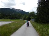 3
3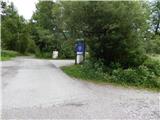 4
4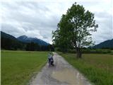 5
5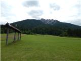 6
6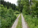 7
7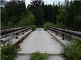 8
8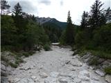 9
9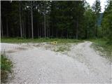 10
10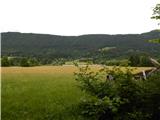 11
11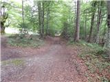 12
12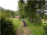 13
13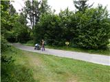 14
14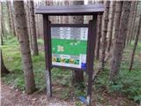 15
15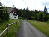 16
16 17
17 18
18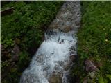 19
19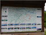 20
20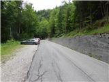 21
21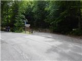 22
22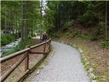 23
23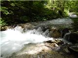 24
24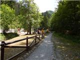 25
25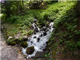 26
26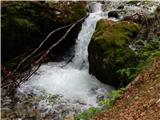 27
27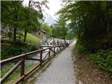 28
28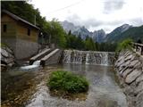 29
29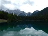 30
30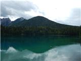 31
31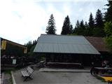 32
32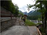 33
33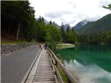 34
34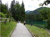 35
35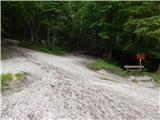 36
36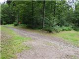 37
37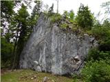 38
38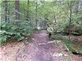 39
39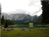 40
40