Celje - Hotel Celjska koča (via Stari grad, Suhi potok and Pečovniška koča)
Starting point: Celje (241 m)
Path name: via Stari grad, Suhi potok and Pečovniška koča
Time of walking: 2 h 10 min
Difficulty: no data
Difficulty of skiing: no data
Altitude difference: 411 m
Altitude difference (by path): 620 m
Map: Posavsko hribovje Boč - Bohor 1:50.000
Access to starting point:
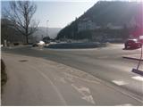
Celje, the third largest Slovenian town accessible from several sides. We park somewhere between the railway station and the bridge over the river Savinja in the direction of Laško. The problem could be, because the parking lots are mainly payable... if you come by train, these problems fall away.
Path description:
The beginning of the path is at the bridge over Savinja at the sign with panorama of Celje hills. The path in the beginning to the castle Stari grad on a castle hill is also the initial part of CPP (Celje mountain trail). In the first part we walk on the path between the river Savinja and the railway track to the confluence of the rivers Voglajna and Savinja. We continue over a bridge and under the railway track to the right and further on the path Pelikanova pot on castle Stari grad.
From the castle we continue straight downwards on partly asphalted, macadam and meadow cart track to the settlement Zvodno. In Zvodno, at the crossing we continue straight or slightly to the right in the direction of Suhi potok (caption on a concrete retaining wall), left path goes towards Hudičev graben. We follow the macadam grounding or forest road few hundred meters. At the marked crossing we continue left and a little upwards on a forest path or riverbed of the stream Suhi potok.
Further, we once again a little to the left follow the hiking forest path upwards by the quarry. The path is beaten and we can't miss. It is pleasantly winding by the riverbed of the stream higher towards Grmada. We soon reach the crossing, we continue right in the direction of the mountain hut Pečovniška koča, and to the left there are signs for Tolsti vrh. The path is further a little narrower and crosses the steepness of the forest upwards. We reach a meadow part and an intermediate destination - mountain hut Pečovniška koča on Grmada, which is already in sight. A little to the left and in at the end right upwards to the mountain hut Pečovniška koča.
After a short sightseeing, we continue in the direction of Celjska koča and Tolsti vrh. On a pleasant wide path, partly road we soon reach the crossing by the homestead Čater. Here from the left below the homestead joins the path from Hudičev graben and Srebotnik. From the crossing, we continue right on a wide forest road and in few hundred meters of an easy ascent we reach the mountain hut Celjska koča.
The total length of the path from Celje is around 5500 meters, 620 positive altitude meters and 200 negative altitude meters.
Pictures:
 1
1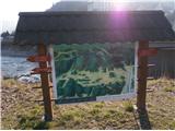 2
2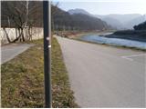 3
3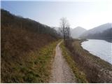 4
4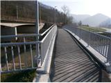 5
5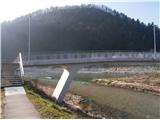 6
6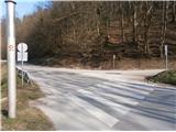 7
7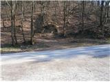 8
8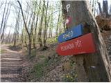 9
9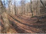 10
10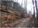 11
11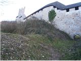 12
12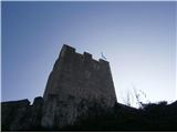 13
13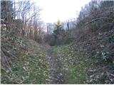 14
14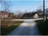 15
15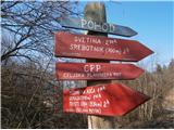 16
16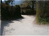 17
17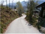 18
18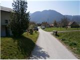 19
19 20
20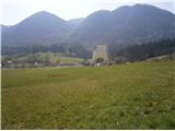 21
21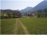 22
22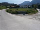 23
23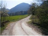 24
24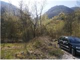 25
25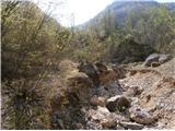 26
26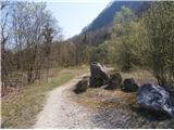 27
27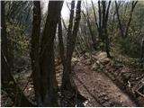 28
28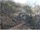 29
29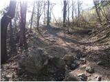 30
30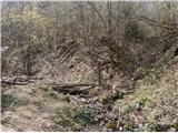 31
31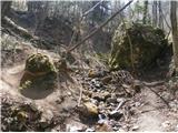 32
32 33
33 34
34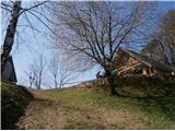 35
35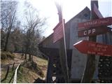 36
36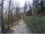 37
37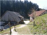 38
38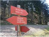 39
39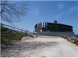 40
40