Dom na Osankarici - Koča na Klopnem vrhu (via Trije žeblji)
Starting point: Dom na Osankarici (1193 m)
Starting point Lat/Lon: 46.449°N 15.4196°E 
Path name: via Trije žeblji
Time of walking: 2 h 30 min
Difficulty: easy marked way
Difficulty of skiing: easily
Altitude difference: 67 m
Altitude difference (by path): 520 m
Map: Pohorje 1:50.000
Access to starting point:
From the highway we go to the exit Slovenska Bistrica - south and we continue to the center of Slovenska Bistrica, where at the traffic lights by the church we turn left. We drive straight to a roundabout at factory Impol, at the roundabout we take the third exit - sign Veliko Tinje. Further, we follow the path signs for Veliko Tinje or Tri kralji, in Tri kralji we continue on the road to the mountain hut Dom na Osankarici.
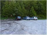
Or: From highway Maribor - Ljubljana we go to the exit Slovenske Konjice and we follow the road ahead towards Oplotnica. In Oplotnica we notice signs for Osankarica, which point us on an ascending road. At the all next crossroads we follow the road in the direction of Osankarica, we park on a large parking lot near the mountain hut Dom na Osankarici.
Path description:
Before the mountain hut on the right side, where there is also an information board, we go slightly uphill through the forest. Then the path starts slowly descending to monument, which marks the last battle of Pohorje battalion ("20 min). Immediately after the main monument, the path goes right - signpost for Pesek and Ribniška koča - and in few minutes brings us to the cart track, on which signpost for Tri žeblji points us left downwards to a stream ("10 min). We cross the stream and we start slightly ascending, the path bypasses the peak on the right side, and again follows a descent to the next stream ("25 min). We bypass Jodlov vrh on the western side and we get to Tri žeblji, characteristic area of Pohorje clearings on a light plain ("20 min). From the right side joins the path from Šumik, and we continue straight to the next crossing ("15 min). Signpost for Klopni vrh points us right downwards on the path through wet terrain, and then we for a short time again ascend on the eastern slope of Kurji hrib and then through a wide clearing we descend to a forest road which a little ahead ends ("20 min). If we have enough time, we view lake Tiho jezero, to which on a marked path we come in 5 minutes, which is also pointed out by signpost, and then we return on the same path. Our path crosses a forest road and turns into the forest, where at first it is along the stream slightly rising, then follows a light descent. From the right side joins a marked path from Areh and Šumik, which is part of variant SPP number 1, we cross two more smaller streams and we get to a good cart track which on the plain brings us to NOB monument on the left side ("25 min). At this spot on 1941/09/17 Pohorje unit the first time in open combat defeated the Germans, in the battle died Franc Soklič–Brko. Further our path leads straight and slightly downwards and passes on the forest road, and from the right side a view starts opening up. On the left side, we get to the turn-off of the path for Pesek, at the crossroad of forest roads we go straight and we get to the destination (" 15 min).
Pictures:
 1
1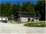 2
2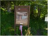 3
3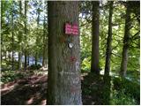 4
4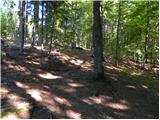 5
5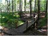 6
6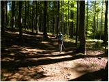 7
7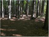 8
8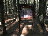 9
9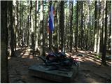 10
10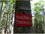 11
11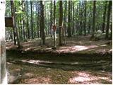 12
12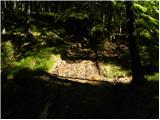 13
13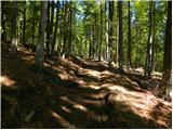 14
14 15
15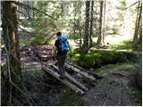 16
16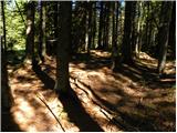 17
17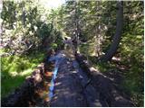 18
18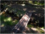 19
19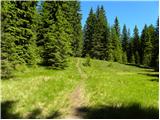 20
20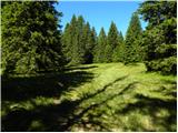 21
21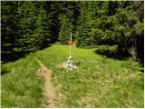 22
22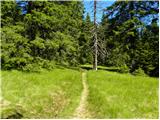 23
23 24
24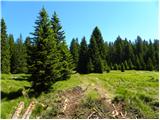 25
25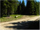 26
26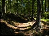 27
27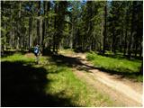 28
28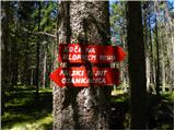 29
29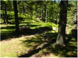 30
30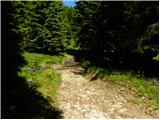 31
31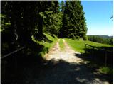 32
32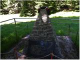 33
33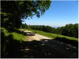 34
34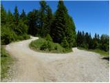 35
35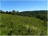 36
36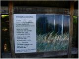 37
37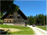 38
38