Forestry cottage Rovtarica - Babji zob (via Žontarica)
Starting point: Forestry cottage Rovtarica (1089 m)
Starting point Lat/Lon: 46.285°N 14.0911°E 
Path name: via Žontarica
Time of walking: 3 h
Difficulty: easy unmarked way
Difficulty of skiing: no data
Altitude difference: 39 m
Altitude difference (by path): 275 m
Map: Karavanke - osrednji del 1:50.000
Access to starting point:
A) First, we drive to Škofja Loka, and then we continue driving towards Železniki. In Železniki we turn right in the direction of Rudno, Dražgoše and Bohinjska Bistrica. Towards Dražgoše we drive to the settlement Rudno, there we continue slightly left in the direction of Bohinjska Bistrica. Further, for quite some time, we drive on a macadam road which is for first 10 km moderately ascending, and then it starts descending towards forestry cottage on Rovtarica, where we park on an appropriate place by the crossroad of multiple roads.
B) We drive to Bohinjska Bistrica and we continue driving towards Soriška planina. After few kilometers of ascent we get to a crossroad, where the road towards Soriška planina branches off sharply to the right, and we continue straight in the direction of Železniki and Škofja Loka. Further, the road becomes a macadam, and we follow it to the forestry cottage on Rovtarica, where we park on an appropriate place by the crossroad of multiple roads.
Path description:
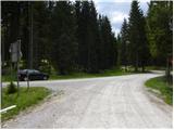
From Rovtarica we go on a road in the direction of Vodice, Mountain hut Planinski dom Goška Ravan and mountain pasture Selska planina. The road at first ascends past few cottages, and then passes into the forest, where quickly brings us to the marked crossroad. From the crossroad, we continue straight in the direction of Goška Ravan (left Počitniški dom Goričane), we follow the ascending road to the next crossroad at the monument NOB.
Here we continue straight (left Selska planina 1 minute) and at the ascent on a macadam road we overlook right turn off, when we get to a crossroad, where the road branches off to the left and we go left (straight Goška Ravan).
Further, the road is for some time ascending, so that occasionally a view opens up towards Karawanks. A little higher we get to a smaller crossroad, where we continue right. After the crossroad, the road at first flattens, and then gradually starts descending. Next follows relatively long descent, and then we get to a little bigger crossroad, which is located a little above the mountain pasture Tamar (mountain pasture from the crossroad isn't visible).
Here we continue right (left Počitniški dom Goričane) and we continue on the road which continues above the mountain pasture Tamar. At the next crossroad, which is located only few 100 meters ahead we continue slightly left (right mountain pasture Ribenska and Grofova planina), and we follow the road to the next marked crossroad. At the mentioned crossroad road branches off to the left towards the mountain pasture Oblakova planina and mountain pasture Tamar (also Povšinova planina), and we continue slightly right and we follow the road to the next crossroad, by which we notice a smaller religious symbol.
Here we continue left downwards on a narrower road, on which we quickly descend to Ravni, where there stands a holiday cottage. Behind the cottage road goes into the forest and gradually changes into a cart track. After a shorter diagonal ascent, already quite bad cart track splits into more parts, and we continue on the one, on which arrows on the trees point us to. After a short descent, the cart track finally changes into an easy to follow a forest footpath, and it quickly brings us on the edge of Jelovica. For some time we are moderately ascending by the precipitous and occasionally panoramic edge, and then we get to the top of Babji zob, from where only a short descent follows to panoramic shoulder and inscription box on Babji zob.
Pictures:
 1
1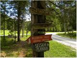 2
2 3
3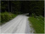 4
4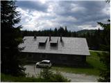 5
5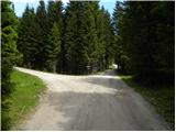 6
6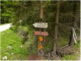 7
7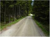 8
8 9
9 10
10 11
11 12
12 13
13 14
14 15
15 16
16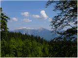 17
17 18
18 19
19 20
20 21
21 22
22 23
23 24
24 25
25 26
26 27
27 28
28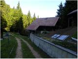 29
29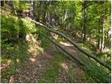 30
30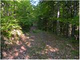 31
31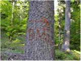 32
32 33
33 34
34 35
35 36
36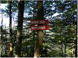 37
37 38
38 39
39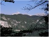 40
40 41
41 42
42 43
43 44
44 45
45 46
46 47
47 48
48 49
49 50
50 51
51