Forestry cottage Rovtarica - Lipniška planina (via Radovljiška planina)
Starting point: Forestry cottage Rovtarica (1089 m)
Starting point Lat/Lon: 46.285°N 14.0911°E 
Path name: via Radovljiška planina
Time of walking: 1 h 40 min
Difficulty: easy unmarked way
Difficulty of skiing: no data
Altitude difference: 241 m
Altitude difference (by path): 290 m
Map: Karavanke - osrednji del 1:50.000
Access to starting point:
A) First, we drive to Škofja Loka, and then we continue driving towards Železniki. In Železniki we turn right in the direction of Rudno, Dražgoše and Bohinjska Bistrica. Towards Dražgoše we drive to the settlement Rudno, there we continue slightly left in the direction of Bohinjska Bistrica. Further, for quite some time, we drive on a macadam road which is for first 10 km moderately ascending, and then it starts descending towards forestry cottage on Rovtarica, where we park on an appropriate place by the crossroad of multiple roads.
B) We drive to Bohinjska Bistrica and we continue driving towards Soriška planina. After few kilometers of ascent we get to a crossroad, where the road towards Soriška planina branches off sharply to the right, and we continue straight in the direction of Železniki and Škofja Loka. Further, the road becomes a macadam, and we follow it to the forestry cottage on Rovtarica, where we park on an appropriate place by the crossroad of multiple roads.
Path description:
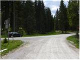
From Rovtarica we go on the road in the direction of Vodice, mountain hut Goška Ravan, Martinček and Selska planina. The road at first ascends past few cottages, and then passes into the forest, where quickly brings us to the marked crossroad. From the crossroad, we continue straight in the direction of Goška Ravan (left Počitniški dom Goričane), we follow the ascending road to the next crossroad at the monument NOB.
Here we continue straight (left Selska planina 1 minute) and then we quickly get to a smaller crossroad, where we continue on the right road which leads towards Lipniška planina (straight Vodiška planina).
From the crossroad ahead, the road is moderately to steeply ascending, and it soon brings us out of the forest on panoramic slopes of Visoki vrh (1359 meters), from where a nice view opens up on the western part of Jelovica, Spodnje Bohinjske gore and part of the valley of river Sava Dolinka. Higher, the road flattens and from the slope passes on a plateau. Few minutes after the road flattens we can left from the road, behind a lane of a forest sense mountain pasture Radovljiška planina. Further, the road few times ascends and descends, and it leads us also past few smaller crossroads, and everywhere we continue straight or on the "main road".
When we get to a crossroad, where we notice signs for Lipniška planina we continue right in the direction of the mentioned mountain pasture (left - Martinček, straight - Vodiška planina). The path ahead leads us past the green gate, which is preventing further driving. Further, we are moderately to steeply ascending by the small stream (similar streams on the karst plateaus are relatively rare). The road then leads us also past the quarry, and higher we step out of the forest on the lower part of the mountain pasture Lipniška planina, where on the left we notice NOB monument, and a little further also a hunting observatory. When we step out of the forest, the road ends and we continue on a cart track, on which in a minute or two of additional walking, we get to the cottage, which is situated on the upper edge of the mountain pasture.
Pictures:
 1
1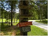 2
2 3
3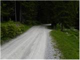 4
4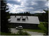 5
5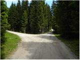 6
6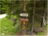 7
7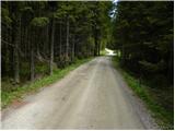 8
8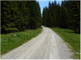 9
9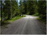 10
10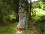 11
11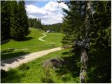 12
12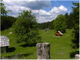 13
13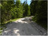 14
14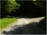 15
15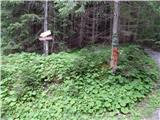 16
16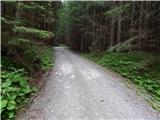 17
17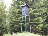 18
18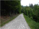 19
19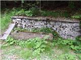 20
20 21
21 22
22 23
23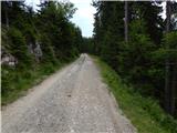 24
24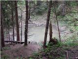 25
25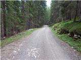 26
26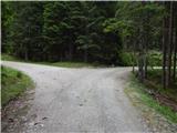 27
27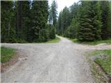 28
28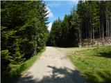 29
29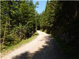 30
30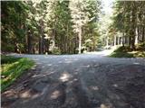 31
31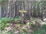 32
32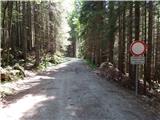 33
33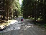 34
34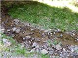 35
35 36
36 37
37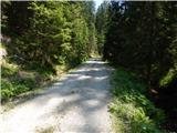 38
38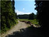 39
39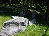 40
40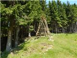 41
41 42
42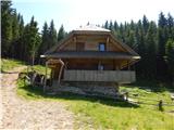 43
43