Kamna Gorica - Partisan cottage on Vodiška planina
Starting point: Kamna Gorica (459 m)
Starting point Lat/Lon: 46.3167°N 14.1889°E 
Time of walking: 2 h 30 min
Difficulty: easy unmarked way
Difficulty of skiing: no data
Altitude difference: 649 m
Altitude difference (by path): 700 m
Map: Karavanke - osrednji del 1:50.000
Access to starting point:
A) From highway Ljubljana - Jesenice we go to the exit Naklo, Podtabor or Brezje, and then we continue driving in the direction of Kropa. At the crossroad, where in the direction of straight road continues towards Kropa we turn right and a little further we get to Kamna Gorica, where at the end of the settlement, we park on the left side on the settled parking lot near the cemetery and ski slope.
B) From highway Jesenice - Ljubljana we go to the exit Lesce or Radovljica, and then we continue driving in the direction of Radovljica and later village Lancovo, Lipnica and Kamna Gorica. When we get to Kamna Gorica we park on the settled parking lot near the cemetery and ski slope.
Path description:
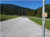
From the parking lot, we continue by the main road towards Radovljica, at the road sign, which marks end or beginning of the settlement Kamna Gorica we continue slightly left, on a cart track, where a signpost for Vodice on hayrack points us to. The path at first leads by the foot of the ski slope Kamna Gorica, from where a view opens up a little on two-thousanders of Julian Alps, where the view is the most beautiful on Škrlatica, after that cart track passes into the forest and starts ascending steeper. Cart track quickly flattens and it brings us to a lane of a thin forest, where we continue straight. Through some sort of clearing we go past a source, and when the path returns into the forest it is slowly turning to the left, where we get to a marked crossing.
We continue on the left cart track in the direction of Vodice, and a little higher a beautiful view opens up in the direction of Storžič and Karawanks. When we return into the forest, at the crossings we continue straight or on the cart track which seems wider. Higher, we get into a small valley, where we stick to the right turn-offs, and wider cart track narrows and by the path more frequent blazes show up. From the old cart track we go left on abandoned cart track, and there we are ascending quite steeply, and at the crossings we follow the blazes, which are here quite frequent. When we get to area named Lazi, on the right we will notice an older hayloft, and the path here turns a little to the left. Higher from cart tracks we pass on a wider footpath which is ascending in zig-zags. Such a path higher brings us to a crossing, from which we continue slightly left (slightly right Suharna and Razpok).
Next follows some diagonal ascent and we get to the next marked crossing, from which we continue in the direction of Vodice (right Suharna, Razpok and Goška ravan).
Further, the path gradually passes on a plateau of Jelovica, and when a little higher we reach the macadam road, we follow it to the left. The path ahead leads us on a macadam road which leads us west from Mali Gregorjevec (1134 meters), and at the smaller crossroad, we continue on the left wider road. Few minutes ahead we leave the road and we continue slightly right, on a beaten path, which at first continues parallel with the road, and then it gradually goes away from it. Quite gently sloping path with some shorter easy ascents and descents, later it gets closer to the other road, to which we have a little steeper short ascent. When we reach the mentioned road, we follow it to the left, and there in few minutes we walk to the cottage Partizanski dom na Vodiški planini.
Description and pictures refer to a condition in the year 2019 (September).
Pictures:
 1
1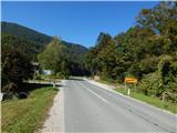 2
2 3
3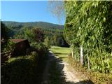 4
4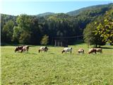 5
5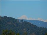 6
6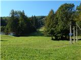 7
7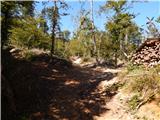 8
8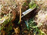 9
9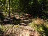 10
10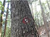 11
11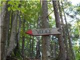 12
12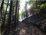 13
13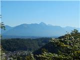 14
14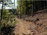 15
15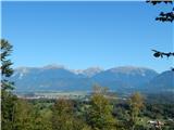 16
16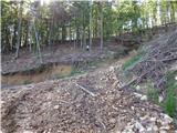 17
17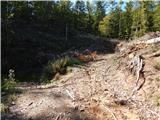 18
18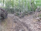 19
19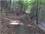 20
20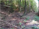 21
21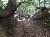 22
22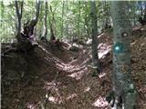 23
23 24
24 25
25 26
26 27
27 28
28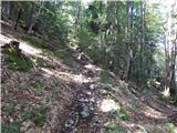 29
29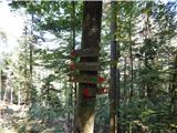 30
30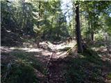 31
31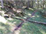 32
32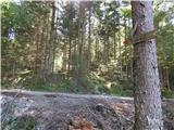 33
33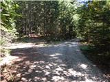 34
34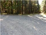 35
35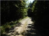 36
36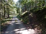 37
37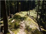 38
38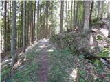 39
39 40
40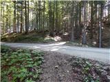 41
41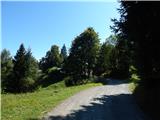 42
42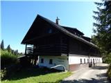 43
43