Krajiška Kutinica - Humka (Moslavačka gora)
Starting point: Krajiška Kutinica (149 m)
Starting point Lat/Lon: 45.60528°N 16.78066°E 
Time of walking: 50 min
Difficulty: easy marked way
Difficulty of skiing: no data
Altitude difference: 338 m
Altitude difference (by path): 338 m
Map:
Access to starting point:
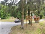
Highway Zagreb-Lipovac we leave at exit Kutina. Through Kutina we go in the direction of Garešnica, Virovitica. When we leave the settlement, we go in the settlement Kutinska Slatina left in the direction of Katoličke Čaire. When we leave the mentioned settlement, at the unmarked crossroad we turn right (left - Kutinica) and we come to Krajiška Kutinica. We drive through the settlement, and when the asphalt ends we get to the cottage Vilenjak, where we park at the appropriate place.
Path description:
From the parking lot, we go ahead towards the north, where the path passes into the forest. The path ahead at first runs on a cart track, and then we get to a meadow, where we go past two feeding sites for animals (on this part the blazes are rare). The path ahead is ascending gently and brings us by the stream Kutinica. After the fenced garden and after the feeding sites for animals the path becomes more dynamic because we several times cross the stream.
After the last crossing of the stream, the path becomes steeper and runs on a smaller ridge, which is rising above two streams. Higher, the steepness decreases and we get to the cart track which higher leads through a thinner forest. We soon get to a fence, which we bypass on the left side.
Behind the fence follows another steep part, this time through a dense forest. After few minutes of additional walking, we come on a well maintained road, where we go slightly left and we notice the monument. From the monument we walk about a minute and we are on the highest summit of Moslavačka gora, Humka. Because the peak is in the forest there isn't any view. Left from the peak, in the direction towards the west there is a projecting roof, where we can take a rest.
Pictures:
 1
1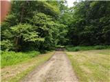 2
2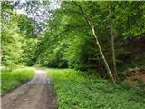 3
3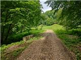 4
4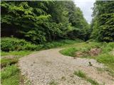 5
5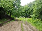 6
6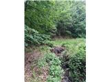 7
7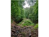 8
8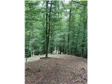 9
9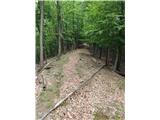 10
10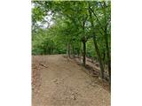 11
11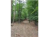 12
12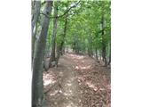 13
13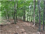 14
14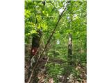 15
15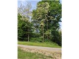 16
16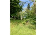 17
17