Križe - Planica (Paragliding site Gozd)
Starting point: Križe (508 m)
Starting point Lat/Lon: 46.3394°N 14.2979°E 
Time of walking: 1 h 20 min
Difficulty: easy marked way
Difficulty of skiing: no data
Altitude difference: 418 m
Altitude difference (by path): 420 m
Map: Karavanke - osrednji del 1:50.000
Access to starting point:
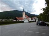
A) From highway Ljubljana - Jesenice we go to the exit Naklo, and then we continue driving in the direction towards settlements Žeje, Spodnje and Zgornje Duplje to the settlement Retnje, where we turn right towards the settlement Križe. Further, we drive past NOB monument, sports field Križe to the parking lot by the cemetery and a parish church of Holy Cross.
B) From highway Jesenice - Ljubljana we go to the exit Podbrezje, and then we continue driving towards Ljubelj and Tržič. Before Petrol gas station in Bistrica pri Tržiču we turn right and then we drive in Tržič. When the road descends into the valley, we continue sharply right in the direction of Pristava and Križe, and further we drive on the main road which leads towards Zgornje and Spodnje Duplje, mentioned main road we leave at settlement Retnje, where we continue left in the direction of the settlement Križe and Golnik. Further, we drive past NOB monument, sports field Križe to the parking lot by the cemetery and a parish church of Holy Cross.
Path description:
From the parking lot, we continue on the road towards the east, where the path leads at first past the church, and then also past the post office, inn Pr Benk and bakery to a crossroad at the chapel, where we continue left in the direction of Pristava. The road then leads us also past the store Tušek market Markič, and then we already notice first signposts for Gozd, Kriška gora and Storžič, which lead right on street Planinska pot. At crossroads through the settlement we follow the blazes, and then the road loses an asphalt covering and passes into the forest. Few minutes higher, at the crossroad of the macadam roads we continue right, and then we gradually get out of the forest, from where a nice view opens up towards Gorenjska. After the panoramic part, the road becomes asphalted and it brings us to the spot, where we join the road which leads towards Gozd. We follow the road to the left, and there we walk only for a short time because blazes lead right on a cart track.
We leave the road at smaller information board, which informs us about openness of the cottage Zavetišče v Gozdu. From the cart track, we continue immediately 2 times left, so that we continue the ascent on a forest path, and it soon joins to other cart track, on which we in few minutes return on an asphalt road. Few strides we walk on the road, after that from the left joins the path from Tržič, and right continues a footpath or cart track towards the cottage Zavetišče v Gozdu (straight on the road Koča na Kriški gori - steep path).
We continue on the right path (cart track), which at first runs parallel with the road and further leads past a trough with water. A little further, we leave the cart track, because blazes lead left on for some time a little steeper path, which soon returns on a cart track, and then on an asphalt road. We follow the road to the right, and we walk there for few minutes, or all the way to the spot, when on the right side we notice a large parking lot and next to it cottage Zavetišče v Gozdu.
From Zavetišče v Gozdu we continue on the asphalt road in the direction of Kriška gora, Tolsti vrh, Golnik and Zalog, and from which we go already after few 10 strides right, on a side road in the direction of a vantage point and airfield. At first, we ascend on an asphalt road, from which a beautiful view opens up towards Kriška gora, and the road quickly becomes a macadam and passes into the forest. Follows only a light ascent and the path brings us to Planica or airfield Gozd.
Križe - Zavetišče v Gozdu 1:15, Zavetišče v Gozdu - Planica 0:05.
Description refers to condition in April 2020, and pictures are from various periods.
On the way: Zavetišče v Gozdu (891m)
Pictures:
 1
1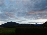 2
2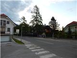 3
3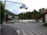 4
4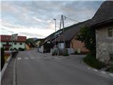 5
5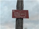 6
6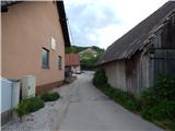 7
7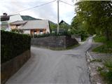 8
8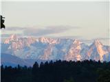 9
9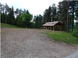 10
10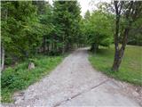 11
11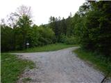 12
12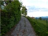 13
13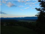 14
14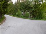 15
15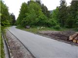 16
16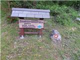 17
17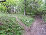 18
18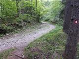 19
19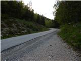 20
20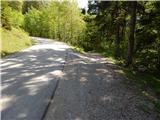 21
21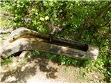 22
22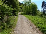 23
23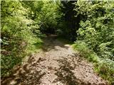 24
24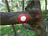 25
25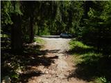 26
26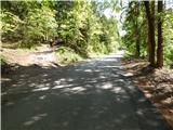 27
27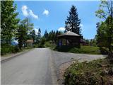 28
28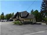 29
29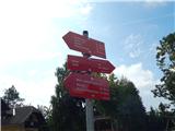 30
30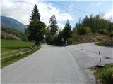 31
31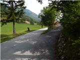 32
32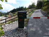 33
33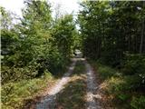 34
34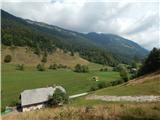 35
35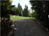 36
36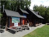 37
37 38
38