Lovrenc na Pohorju - Klopni vrh (via Spodnji trg and on northern path)
Starting point: Lovrenc na Pohorju (436 m)
Starting point Lat/Lon: 46.54195°N 15.38604°E 
Path name: via Spodnji trg and on northern path
Time of walking: 3 h 5 min
Difficulty: easy marked way
Difficulty of skiing: no data
Altitude difference: 904 m
Altitude difference (by path): 945 m
Map: Pohorje 1:50.000
Access to starting point:
A) From the road Maribor - Dravograd, between HE Fala and HE Ožbalt we turn left towards Lovrenc na Pohorju (from the direction Dravograd we turn right). On the other side of Drava we start ascending along Radoljna, and at the marked crossroad, we go slightly right on the main road towards Lovrenc na Pohorju. When we get to the settlement Lovrenc na Pohorju we follow the main road, in the center of the settlement, we turn right towards the primary school, where we park on a parking lot by the school. We can also park elsewhere in the settlement, where there are few settled free parking spots.
B) We drive into Ruše, and then we follow the road towards Lovrenc na Pohorju. In the settlement Činžat we get to a saddle, where the road starts descending, and lower we go left towards Lovrenc na Pohorju. When we get to the settlement Lovrenc na Pohorju we follow the main road, in the center of the settlement, we turn right towards the primary school, where we park on a parking lot by the school. We can also park elsewhere in the settlement, where there are few settled free parking spots.
Path description:
From the parking lot, we return to the center of the settlement, and then we cross the main road through the settlement and we go on a side road in the direction towards Klopni vrh. Next follows some descent, and from the crossroad at the stop sign we go left. Few 10 meters ahead we go right, where we over the bridge cross the stream Radoljna. About 50 meters ahead we go once again right, and then we continue on the forest road which leads us through a meadow. And when the road a little ahead turns right, we go left on a cart track which takes us into the forest. In the forest, we go left on a footpath, on which we ascend steeper through the forest. We soon return on one of the cart tracks, and then follows few more crossings, where we follow the blazes. Higher, we cross two forest roads, and then we get to a meadow, where the footpath is less visible. We continue in approximately the same direction, and higher by the edge of the forest slightly to the left we look for the further marked path. In the forest, the path turns right and it starts ascending diagonally, and from the cart track we go quickly left on a marked footpath which again steeply ascends through the forest. When we reach the macadam road, we follow it to the right, and at a smaller crossroad, we go straight, and immediately after the crossroad left on a cart track which ascends diagonally towards the right and in few minutes of additional walking brings us to a marked crossing, where we join the path which leads via Zgornji trg.
We continue towards Klopni vrh, and further follow few crossings, so we carefully follow the blazes, we have to be especially careful at part of the clearing, where we go from the cart track left on a footpath. When we return into the forest we go also past a source, and a little higher we cross a bad forest road. Further also follow few crossings, and the path gradually brings us on the northern ridge of Turn. A little further on one of the trees we notice a caption Turen, and the marked path bypasses the highest point of Turn on the left side.
Next follows a short light descent and we get to a smaller saddle between Turn and Klopni vrh. Here we go left and after a minute of additional walking on a cart track we reach a macadam road which we follow to the right. We continue on the macadam road which is slowly ascending and after few minutes of additional walking brings us to a crossing of marked paths, where from the left joins the path from Činžat, straight continues the road towards Koča na Klopnem vrhu, and to the right the northern path on Klopni vrh branches off.
Here we continue right in the direction of Klopni vrh (straight - 1 minute Koča na Klopnem vrhu). The path ahead leads us on a cart track which is mostly moderately ascending through the forest. The path which at few smaller crossings we follow in the direction of the blazes, we follow all the way to the nearby peak, which we reach after approximately 15 minutes from the spot, when we left the road.
Lovrenc na Pohorju - Turn 2:30, Turn - Koča na Klopnem vrhu 0:20, Koča na Klopnem vrhu - Klopni vrh 0:15.
Description and pictures refer to a condition in the autumn 2021.
Pictures:
 1
1 2
2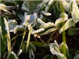 3
3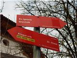 4
4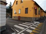 5
5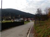 6
6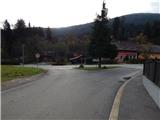 7
7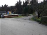 8
8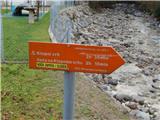 9
9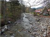 10
10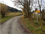 11
11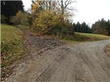 12
12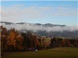 13
13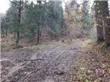 14
14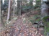 15
15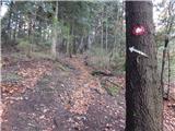 16
16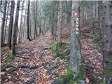 17
17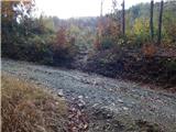 18
18 19
19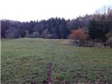 20
20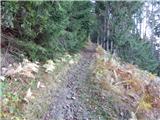 21
21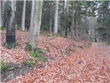 22
22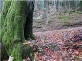 23
23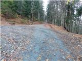 24
24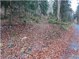 25
25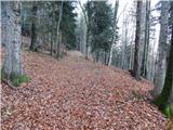 26
26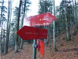 27
27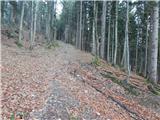 28
28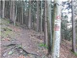 29
29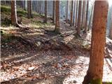 30
30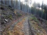 31
31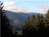 32
32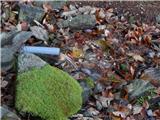 33
33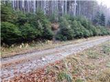 34
34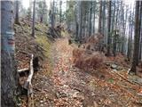 35
35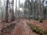 36
36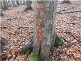 37
37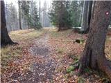 38
38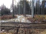 39
39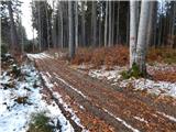 40
40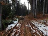 41
41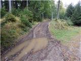 42
42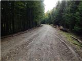 43
43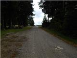 44
44 45
45 46
46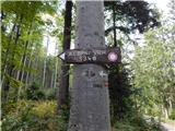 47
47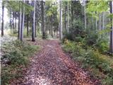 48
48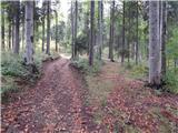 49
49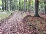 50
50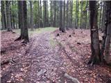 51
51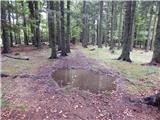 52
52 53
53 54
54