Maribor - Sveti Urban above Maribor (on path over Kozjak)
Starting point: Maribor (275 m)
Starting point Lat/Lon: 46.564°N 15.6481°E 
Path name: on path over Kozjak
Time of walking: 2 h
Difficulty: easy marked way
Difficulty of skiing: no data
Altitude difference: 320 m
Altitude difference (by path): 540 m
Map: Pohorje 1:50.000
Access to starting point:
The beginning of the path can be practically in the center of the town at the beginning of Mestni park at the sign for path over Kozjak or anywhere in the park to ponds Trije ribniki.
With a car, exit Melje on the highway through Maribor and further by the railway station, at the first crossroad without traffic lights to the left on street Tomšičeva ulica, also known avenue in the direction of Ribniško selo and somewhere near the park we park a car.
Path description:
At the beginning of Mestni park, at the sign,,Pot čez Kozjak,, or at ponds Trije ribniki is the beginning of the path. We simply follow the mountain path practically from a very urban Maribor through Ribniško selo. On the top of Ribniško selo at the juncture with Vinarje right in the forest and below banks Marinov and Kaufmanov breg we simply follow a well-marked and also diverse,,beaten,, the path. We soon reach the upper part of the settlement Rošpoh, whereupon follows a descent into a valley, where we cross the road Kamnica - Kungota.
We continue by the chapel upwards, by a large homestead with orchards on an asphalt path. Sveti Urban is practically all the time visible and with good markings we easily reach our destination.
The path is very easy to follow, locals are always ready to talk or give helpful advice.
The path measures in distance around 8000 meters, 540 positive altitude meters and 220 negative altitude meters (beginning from Mestni park).
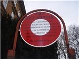
Pictures:
 1
1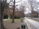 2
2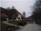 3
3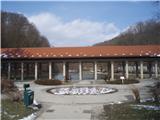 4
4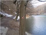 5
5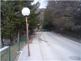 6
6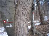 7
7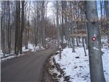 8
8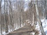 9
9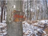 10
10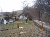 11
11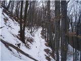 12
12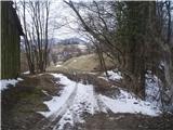 13
13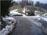 14
14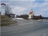 15
15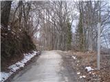 16
16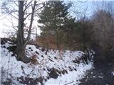 17
17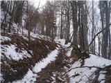 18
18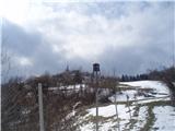 19
19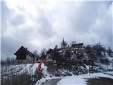 20
20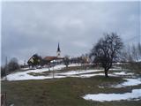 21
21 22
22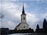 23
23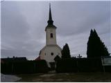 24
24