Miklavževec - Partisan cottage on Vodiška planina
Starting point: Miklavževec (450 m)
Starting point Lat/Lon: 46.3086°N 14.2046°E 
Time of walking: 1 h 45 min
Difficulty: easy marked way
Difficulty of skiing: partly demanding
Altitude difference: 658 m
Altitude difference (by path): 658 m
Map: Karavanke - osrednji del 1:50.000
Access to starting point:
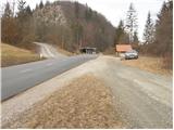
From Ljubljana, we drive on Gorenjska highway towards Jesenice, and we follow it to exit Ljubelj (Podnart). Further, we drive on the road towards Ljubelj and at the first turn we turn right, where we then quickly get to a roundabout, from which we continue in the direction of Podnart and Kropa. The road then leads us through the underpass below the highway and a little further brings us to a crossroad, where the road from Naklo joins. Here we continue right, and we continue on the road which starts gradually descending. In the middle of the descent, we come on a crossroad, where we continue sharply left (direction Kropa) and then immediately behind the bridge through the river Sava again left (right Podnart). Further, we drive by the river Lipnica and we follow the road to a crossroad, where a road towards Kamna Gorica branches off to the right. Here we turn right and on the road we drive for approximately 500 meters to the parking lot by the road. And on the left side of the road, we notice a sign for Vodice.
Access is possible also from Radovljica.
Path description:
From the parking lot, we cross the road and then we ascend on a side road in the direction of Vodice. After a short ascent the road ends and we continue on the left cart track. Further, the path is moderately ascending mostly on a cart track which has quite a few crossings, so we carefully follow the blazes, but there are not many of them. Eventually, the path brings us on the forest road, on which we are ascending good 10 minutes. When on the right side of the road, we notice a marked footpath, we leave the road and we ascend on the path which after few minutes crosses the road which we have left. The path is then ascending through the forest, in parts relatively steeply upwards. When we join the path from Kropa (Srednji Konec) steepness decreases a little. And the path is then gradually again a little steeper ascending and then it quickly brings us to the beginning of the mountain pasture Vodiška planina. Follows only a gentle ascent on the mountain pasture to the cottage Partizanski dom.
Pictures:
 1
1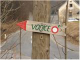 2
2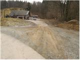 3
3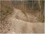 4
4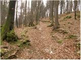 5
5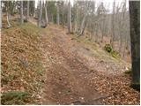 6
6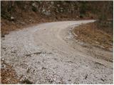 7
7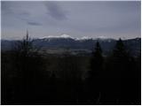 8
8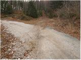 9
9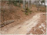 10
10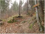 11
11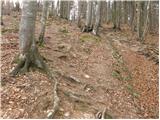 12
12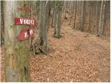 13
13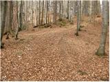 14
14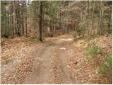 15
15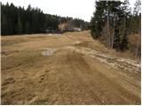 16
16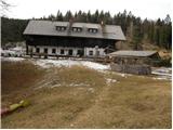 17
17