Mužac / Moggio di Sopra - Monticello (path 421 via Stavolo Borghin, Creste delle Betulle)
Starting point: Mužac / Moggio di Sopra (373 m)
Path name: path 421 via Stavolo Borghin, Creste delle Betulle
Time of walking: 3 h 15 min
Difficulty: partly demanding marked way
Difficulty of skiing: no data
Altitude difference: 989 m
Altitude difference (by path): 989 m
Map:
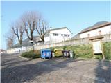
Access to starting point:
A) From Kranjska Gora past Trbiž / Tarvisio, and on the old road towards Videm / Udine all the way to exit for settlement Moggio, where we turn right in the settlement, then left in the upper part, next time right and then we stick to the main direction all the way to a crossroad of roads Via Abbazia and Via Cjavecic, where we park on a marked parking lot b) From Nova Gorica or Sežana on Italian highway to Palmanova, here we choose direction Trbiž / Tarvisio to exit Carnia, then follow old main road towards Trbiž to the turn-off for Moggio, ahead we follow description a.
Path description:
From the parking lot, we go on Via Cjavecic to the left turn, from there on a concrete road straight, after 20 minutes we come to first signpost, which shows, how much walking is there. We continue on concrete cart track which higher splits, we continue left and higher at cross to where it is approx 45 minutes of walking, we go to the left and immediately to the right on a cart track. The latter runs at first in zig-zags around fenced pasture, and higher quite some time straight through shady pine forest, higher cart track passes into path and comes in mixed forest and the path again ascends, whereupon signpost points us to the left and we find ourselves in front of abandoned Stavolo Borghin (to here from the cross approx 1 hour).
The path again starts winding and ascending steeper, all the time through the forest, and higher starts turning to the left and crosses some gullies, which in case of mud or wet snow are dangerous for slipping. Higher, we come on a cart track, where joins the second path from the valley 420/421, and we turn right towards the summit (to here from Borghin 1 hour).
After 5 minutes we are again at the crossing, where the cart track starts narrowing. We choose the right path (Creste delle Betulle), which at first steeply through a meadow and among trees (at least half is without trees) rises to the upper ridge Monticello and in additional 15 minutes (to here from the crossroad lower approx half an hour) brings us mostly gently, and occasionally also with some ascent and in between there is a short descent to the summit of Monticello.
Pictures:
 1
1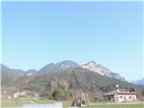 2
2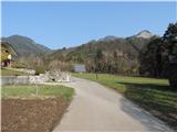 3
3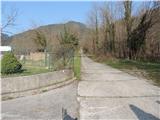 4
4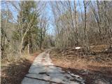 5
5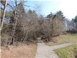 6
6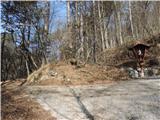 7
7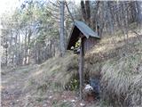 8
8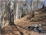 9
9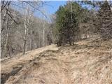 10
10 11
11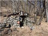 12
12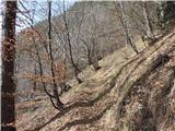 13
13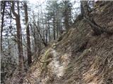 14
14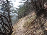 15
15 16
16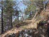 17
17 18
18 19
19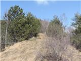 20
20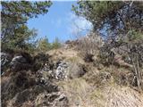 21
21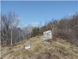 22
22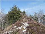 23
23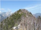 24
24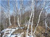 25
25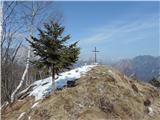 26
26