Pasjek - Žamboh (Špeglovec, Kleviška špica and Žamboh - from north)
Starting point: Pasjek (231 m)
Path name: Špeglovec, Kleviška špica and Žamboh - from north
Time of walking: 5 h 30 min
Difficulty: very difficult pathless terrain
Difficulty of skiing: no data
Altitude difference: 507 m
Altitude difference (by path): 560 m
Map: Zagorje ob Savi 1:30.000
Access to starting point:
Žamboh – northern ridge access from Pasjek - from Blejak
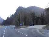
From the direction Litija towards Zagorje, from Pasjek (turn-off for Polšnik), we need to drive about 500 meters ahead, where right by the main road on the right there is a small and indistinct narrow passing place for approx 3 personal cars. There isn't much space by the road, so we need to be really careful when getting in/out of the car, because the main road is relatively busy. Immediately after the retaining wall above the road, there is the beginning of our path upwards.
A note: It is safer to park the car at the bridge in Pasjek, but then we need to go to the starting point on foot by the main road which is maybe even more inconvenient and dangerous.
Path description:
On the way: Sv.Lovrenc cerkev (698m), Kleviška špica (791m), Žamboh (731m)
Pictures:
 1
1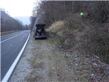 2
2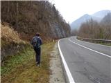 3
3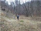 4
4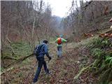 5
5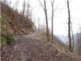 6
6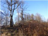 7
7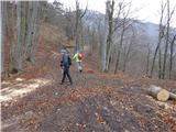 8
8 9
9 10
10 11
11 12
12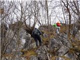 13
13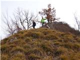 14
14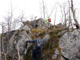 15
15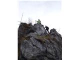 16
16 17
17 18
18 19
19 20
20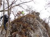 21
21 22
22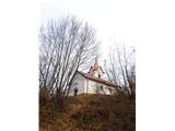 23
23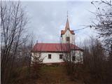 24
24 25
25 26
26 27
27 28
28 29
29 30
30 31
31 32
32 33
33 34
34 35
35 36
36 37
37 38
38 39
39 40
40 41
41 42
42 43
43 44
44 45
45 46
46 47
47 48
48 49
49 50
50 51
51 52
52 53
53 54
54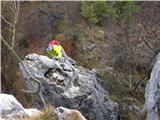 55
55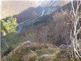 56
56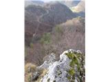 57
57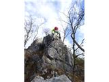 58
58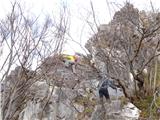 59
59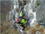 60
60 61
61 62
62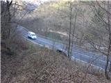 63
63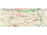 64
64