Podljubelj (Pod Košuto) - Dom na Kofcah (via lake Jezero pri Čežov)
Starting point: Podljubelj (Pod Košuto) (820 m)
Starting point Lat/Lon: 46.4095°N 14.2945°E 
Path name: via lake Jezero pri Čežov
Time of walking: 2 h 5 min
Difficulty: easy unmarked way
Difficulty of skiing: no data
Altitude difference: 668 m
Altitude difference (by path): 680 m
Map: Karavanke - osrednji del 1:50.000
Access to starting point:
We leave Gorenjska highway at Podtabor junction and we continue driving on the road towards Tržič and border crossing Ljubelj. After the turn-off for Tržič we follow the main road towards Austria to the turn-off for Podljubelj, and when we leave the main road from the nearby crossroad we continue left, further we follow the signs for Dom na Kofcah and Karami. Further, we drive on an ascending asphalt road which we follow to a crossroad, where roads for Dom na Kofcah and Karami seperate. At the mentioned crossroad there is the beginning of the described path, and we park somewhere nearby on an appropriate place.
Path description:
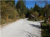
From the starting point, we go on the right road in the direction of holiday cottage Karami Mountainhouse (straight Matizovec and Dom na Kofcah ), where we go at first past few more houses, and then the road passes into the forest and for some time it steeply ascends. When we leave the forest we get to the farm Čižovnik, where we leave the road which continues towards the before mentioned holiday cottage and we continue slightly left on a cart track which ascends above the farm. A little further, the cart track for some time passes into a lane of a forest and then it ascends through a panoramic meadow and higher it again passes into the forest. When in the forest cart track flattens, or even descends a little, at the crossing we choose the right cart track (straight cart track which bypasses the lake), which lightly descends to the lake Jezero pri Čežov.
From the lake, we return a little back, and then we continue on an ascending cart track which quickly joins the cart track which we left before we descended to the lake. Next follows an ascent on a wide cart track or bad road, and at the crossings we follow the wider path. Further, we make few hairpin turns, and during the ascent occasionally beautiful views opening up, which higher reach all the way to Triglav. The road higher flattens and past a green gate brings us to the spot, where we join the marked path.
Here we continue left in the direction of the mountain hut Dom na Kofcah (straight road which leads towards Jelendol) and on a wide cart track we ascend through the forest. When we leave the forest from the left joins the path which leads past Matizovec, and we continue straight and with increasingly beautiful views we reach the mountain hut Dom na Kofcah.
The starting point - Jezero pri Čežov 0:45, Jezero pri Čežov - Dom na Kofcah 1:20.
Description refers to condition in October 2019, and pictures are from various periods.
On the way: Jezero pri Čežov (1010m)
Trip can be extended to: Planina Spodnja Dolga njiva
,
Tegoška planina
,
Planina Pungrat
,
Planina Ilovica
,
Zavetišče na planini Šija
,
Planina Zgornja Dolga njiva
,
Mala Košuta
,
Kofce gora
,
Toplar
,
Malo Kladivo
,
Veliki vrh (Košuta)
,
Veliko Kladivo
Pictures:
 1
1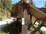 2
2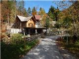 3
3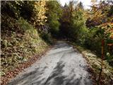 4
4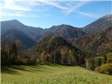 5
5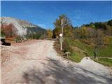 6
6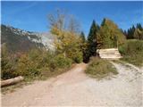 7
7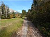 8
8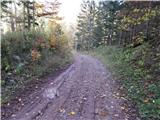 9
9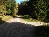 10
10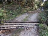 11
11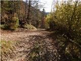 12
12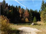 13
13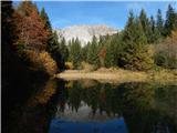 14
14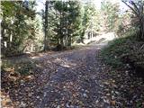 15
15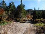 16
16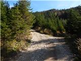 17
17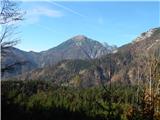 18
18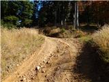 19
19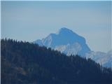 20
20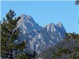 21
21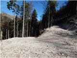 22
22 23
23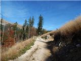 24
24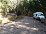 25
25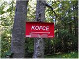 26
26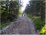 27
27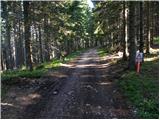 28
28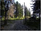 29
29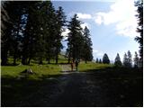 30
30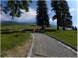 31
31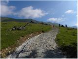 32
32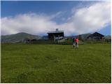 33
33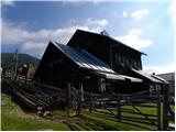 34
34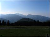 35
35