Ravne - Mittagskogel/Kepa
Starting point: Ravne (1200 m)
Starting point Lat/Lon: 46.4678°N 13.9917°E 
Time of walking: 4 h 15 min
Difficulty: difficult marked way
Difficulty of skiing: no data
Altitude difference: 943 m
Altitude difference (by path): 1100 m
Map: Kranjska Gora 1:30.000
Access to starting point:
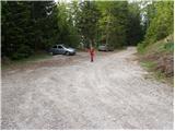
We leave Gorenjska highway at exit Hrušica and follow the road ahead in the direction of Kranjska Gora, but only to the village Dovje at Mojstrana. Here we turn right (direction Dovje) and the road quickly brings us in the mentioned village from where we continue in the direction of Dovška Baba. The road soon behind the village brings us to a crossroad, where we continue on the right road (sharply left Kepa and Borovje). Further, we drive for quite some time to the next crossroad, where we turn sharply left in the direction of Dovška Baba (straight Plavški Rovt). This road which then leads past a grassy meadow named Ravne (few holiday cottages) we follow to a gate, that prohibits further driving. We can park already little lower on one of the parking lots by the road (from Dovje to the starting point, there is approximately 6.5 km).
Path description:
From the parking lot, we continue on the road by which we've parked. The road which is moderately ascending and leads us past a gate higher flattens and brings us on a smaller saddle between Bela peč on the left and Dovška Baba on the right. The road here turns right and after few additional strides, it brings us to the spot, where a marked footpath branches off to the left upwards.
We go on this path, which ascends steeply and through the forest and past a well Starka (1 minute of walking from the path) brings us below the mountain pasture Dovška Rožca. Here the path turns slightly to the left and after additional few 10 strides it brings us to the cottage on a mountain pasture Dovška Rožca (to here possible also on the road).
From the shepherd hut, we continue towards Dovška Baba, and after two minutes on the left side we notice a footpath which passes into a lane of dwarf pines. We go on the mentioned footpath (beginning of the path isn't marked) on which in a gentle descent crosses the western slopes of Dovška Baba. After that, the path turns a little more to the left and past a hunting observatory quickly brings us to the saddle Mlinca. We continue straight on "marked" path (right by the national border a ridge Plevelniki), which passes into a lane of a dense forest. A little further, the forest gets thinner, and the path brings us to a marked crossing by a well Koritec.
At the crossing, we continue straight (left downwards Erjavčev rovt) and then we in a gentle ascent cross the slopes covered with dwarf pines. Further, we then few times ascend a little steeper, and increasingly beautiful views start opening up on Julian Alps. We still in an ascent cross the steep slopes towards the west, and then we soon reach the ridge, where a view opens up on the Austrian side. We short time still continue on a relatively narrow ridge and then the path turns left and in ascent crosses steep grassy slopes below Gubno. The path brings us to an indistinct ridge on the south side of the peak, where a view opens up towards Kepa. If we want to visit also peak Gubno then on this spot we leave the marked path and go right on pathless terrain and in few minutes we reach the peak. The marked path still crosses steep slopes and it brings us on the western side of Gubno.
Further, the path becomes demanding and then follows a crossing of an exposed gully, and we also get help from fixed safety gear.
The path then on the ridge brings us below the slopes of Dovška Mala Kepa. We can reach the peak on undemanding pathless terrain in 10 minutes. And marked path bypasses the peak on the south side and after a crossing of very steep and crumbly slopes brings us to the saddle between Kepa and Dovška Mala Kepa.
From the saddle, we continue towards the west and we cross steep slopes on the Austrian side of the ridge to a small saddle, where joins the path from Austria. Further path steeply ascends and it still runs by the ridge. At the end follows an undemanding ascent on panoramic grassy slopes all the way to the top of Kepa.
Pictures:
 1
1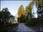 2
2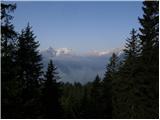 3
3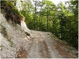 4
4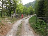 5
5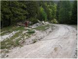 6
6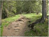 7
7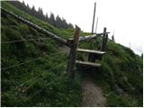 8
8 9
9 10
10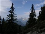 11
11 12
12 13
13 14
14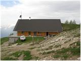 15
15 16
16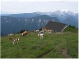 17
17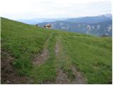 18
18 19
19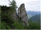 20
20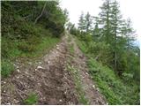 21
21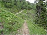 22
22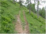 23
23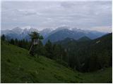 24
24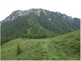 25
25 26
26 27
27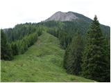 28
28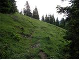 29
29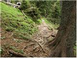 30
30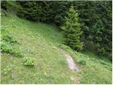 31
31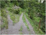 32
32 33
33 34
34 35
35 36
36 37
37 38
38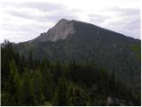 39
39 40
40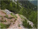 41
41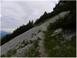 42
42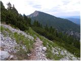 43
43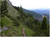 44
44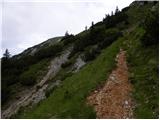 45
45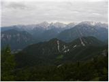 46
46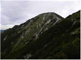 47
47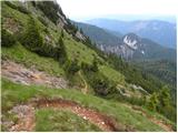 48
48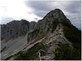 49
49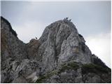 50
50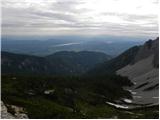 51
51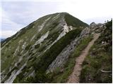 52
52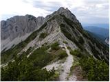 53
53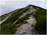 54
54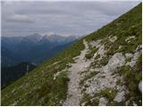 55
55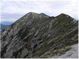 56
56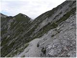 57
57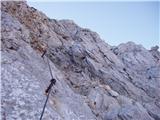 58
58 59
59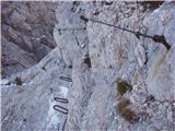 60
60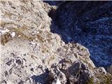 61
61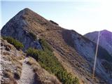 62
62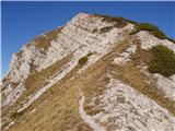 63
63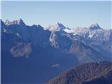 64
64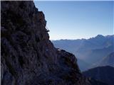 65
65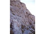 66
66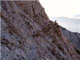 67
67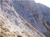 68
68 69
69 70
70 71
71 72
72 73
73