Studenice - Plešivec (pri Boču) (final part on forest road)
Starting point: Studenice (260 m)
Starting point Lat/Lon: 46.2999°N 15.6138°E 
Path name: final part on forest road
Time of walking: 2 h
Difficulty: easy marked way
Difficulty of skiing: no data
Altitude difference: 562 m
Altitude difference (by path): 600 m
Map: Posavsko hribovje Boč - Bohor 1:50.000
Access to starting point:
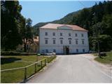
A) From the direction Ljubljana we leave the highway in Slovenske Konjice and through Žiče, Loče and Zbelovo we get to the center of Poljčane. In the center, we turn right in the direction of Studenice and after about three kilometers, we reach Studenice, where we continue right through a bridge over the river Dravinja into the main part of the settlement. In front of the monastery complex we safely park.
B) From the direction Maribor we leave the highway in Slovenska Bistrica, where signs point us to Poljčane. In the center, we turn left in the direction of Studenice and after about three kilometers, we reach Studenice, where we continue right through a bridge over the river Dravinja into the main part of the settlement. In front of the monastery complex we safely park.
C) From the direction of Ptuj, Kidričevo through Ptujska gora, Majšperk and Makole we get to Studenice, where we continue left through a bridge over the river Dravinja into the main part of the settlement. In front of the monastery complex we safely park.
Path description:
After a short sightseeing of the main part of Studenice, we continue left from the monastery complex by the presbytery. In the passage/underpass between the presbytery and winegrowers association Studenice we continue upwards on a cart track by a stone wall and nun cemetery. We soon reach the source of the stream Topli potok left from the path and on a narrow footbridge we cross the stream. We continue upwards, now on the old Roman road which through long centuries retained the original form of the path higher into Boč. When we get to a forest road we turn left, right leads the road towards the settlement Podboč or Zgornje Poljčane.
We follow the forest road and at the first larger crossroad we continue right, left leads the road in the direction of Makole. Further, right by the road we reach a log cabin of hunters LD Poljčane na Golniku. We continue on the road which for few meters flattens. After a short plain, we continue uphill and we soon come again to a crossroad at which we continue left on a narrower forest road, the right path continues towards the tower on Boč. On a narrower forest road between Kisovec left and Drevesnica right we soon reach about 645 meters high saddle above Formila. We continue downwards, we can already see Formila on the right side, from the left soon joins a marked mountain path from Makole.
We reached Formila and then follows a short extension to a crossing, left for partisan hospital, Gaveza, chapel Grilova kapela, Plešivec...and right for mountain hut Dom na Boču. The crossing is also the juncture with the path Štajerska - Zagorje or,,B,, - path Bratska pot.
At the crossing, we continue left on the forest road and after good two hundred meters left a little below the route of the road, we reach an intermediate destination of the path, the partisan hospital on Formila. It is still well hidden even though it is located directly by the road. Wooden sign with the caption is on the trunk, but unfortunately it was also several times removed or damaged.
After a short sightseeing of the point by the path, we continue on the forest road few hundred meters ahead and on the first turn-off to the right, we continue on a forest path. There aren't any signposts at the turn-off, but an easy to follow mountain path through mixed forest of deciduous trees and partly also coniferous trees. During the blossoming period, here is a lot of wild garlic.
We soon reach the forest road, opposite of a smaller football field and we turn left. We continue by the hunting lodge LD Rogaška Slatina, which is on the right by the path and by the homestead Gavez, which is on the left by the path. From the right side soon also an asphalt road from Rogaška Slatina joins. We continue higher on the forest road, also the signposts are there for help and after few hundred metrers, near an abandoned forestry gate we continue right, left leads a return road on Formila, Makole, Ravnocerje...
To the right leads a forest path to the summit of Plešivec (also signposts) and we continue on a wide forest road upwards. There are more and more coniferous trees and the road is pleasantly winding. By the path there is a smaller clearing, few ten meters long and further we go through a distinct part of coniferous trees left and right by the path. The road flattens and from the right and left in few meters three or four cart tracks join. Here few meters into the forest left, there is an old partly damaged cast iron cross, spiritual peak of Plešivec. After a short sightseeing follows continuation on the forest road a little to the left and right above the road there is somewhere the highest point of Plešivec. Further after few ten meters, we get to a smaller partly cutted clearing or plain and unofficial cycling summit of Plešivec. Also, the extension to the right a little less than hundred meters and there is the juncture with the forest mountain path, which is somewhere the hiking summit of Plešivec. There unfortunately aren't any views.
The distance of the path from Studenice is around 8500 meters, 600 positive altitude meters and 30 negative altitude meters.
Pictures:
 1
1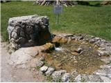 2
2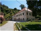 3
3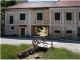 4
4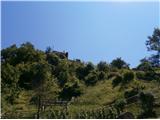 5
5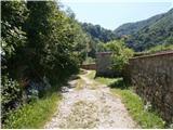 6
6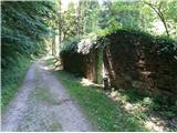 7
7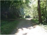 8
8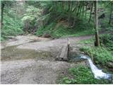 9
9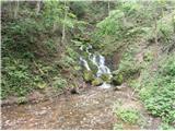 10
10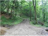 11
11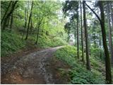 12
12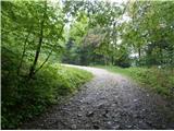 13
13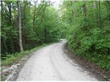 14
14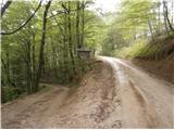 15
15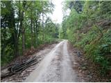 16
16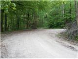 17
17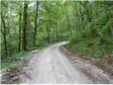 18
18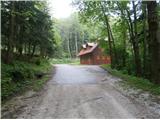 19
19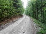 20
20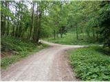 21
21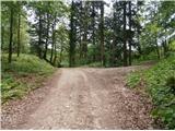 22
22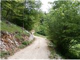 23
23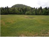 24
24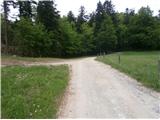 25
25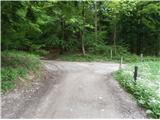 26
26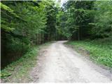 27
27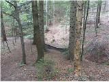 28
28 29
29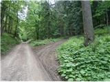 30
30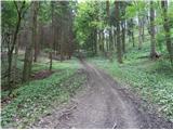 31
31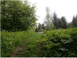 32
32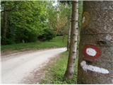 33
33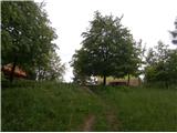 34
34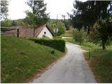 35
35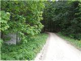 36
36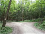 37
37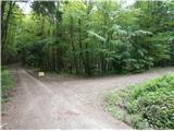 38
38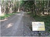 39
39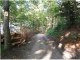 40
40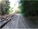 41
41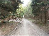 42
42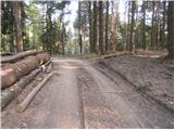 43
43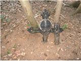 44
44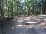 45
45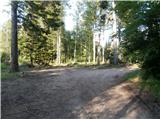 46
46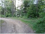 47
47 48
48