Teharje - Tolsti vrh above Celjska koča (via Srebotnik on CPP)
Starting point: Teharje (241 m)
Starting point Lat/Lon: 46.2296°N 15.29761°E 
Path name: via Srebotnik on CPP
Time of walking: 3 h
Difficulty: easy marked way
Difficulty of skiing: no data
Altitude difference: 593 m
Altitude difference (by path): 765 m
Map: Celjska kotlina, 1:50000
Access to starting point:
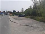
Teharje have a rich history. They are first indirectly mentioned in written sources as early as the 12th century. Local history is closely connected with the Counts of Celje, because people from Teharje gained enrichment. Today Teharje is headquarters of the eponymous local community, in which live about thousand inhabitants. The settlement is located on the right side of the river Voglajna, east from Celje, therefore the access is easiest on the road from Celje. The starting point of our path is located at the bridge over Voglajna, and we can park on the nearby large parking lot by the former inn, just before the secured railway crossing and before the mentioned bridge, near the large industrial halls, at the area of ironworks Štore.
Path description:
First part of our trip leads from the starting point on a marked path Pot I. Celjske čete, which is managed by PD Grmada Celje. At the starting point, there is a signpost which points us along the asphalt road which runs by the left bank of river Voglajna. After approximately 700 meters of walking on the asphalt at the crossing we go to the right on a macadam road into the forest. At the memorial plaque higher, we leave the road and we continue on a forest path uphill. After getting out of the forest, we higher get to the settlement Osenica, where a view opens up on Bavč and Grmada. We soon get to a crossing, from where from the right joins Celje mountain trail (CPP), which leads from the direction castle Stari grad. We circumvent the meadow and we continue on the asphalt road which leads higher into Pečovje. After approximately 900 meters of walking on asphalt, at a well-marked hayrack we leave it and we continue to the right on the forest road. After 500 meters of pleasant views on the nearby hills, we step into the forest, where from the right joins the path which leads from the starting point in Zvodno. To here from the parking lot there is 1 hour of walking, 3.36 km distances, 167 meters of ascent and 18 meters of descent.
We continue straight on the forest road. Soon from the left joins also the path Barbarina pot from Štore. From here further we for some time follow signposts for path Barbarina pot, and at the same time we leave the path Pot I. Celjske čete. A little higher, when we are already past two lonely homesteads, to the left a narrower forest path branches off, which soon starts ascending a little steeper. Before the crossing below Marija we also get help from some cables, more in the function of a fence than a grip. We leave the path Barbarina pot, because signs CPP point us upwards on Srebotnik, where we continue towards the summit on a steep eastern ridge. In the last part of the path, the steepness decreases and on the top of Srebotnik we get a breathtaking view practically on all sides there is also Slovenian flag, a bell, inscription book, bench and a stamp.
From the peak we descend on the western ridge and we continue on CPP. A little lower at a marked crossing we go to the left (straight on the ridge downwards leads the path towards Hudičev graben). We continue the descent through southern access all the way to the saddle between Srebotnik and Ramanca. Here we follow the signs for CPP and we continue on the forest road to the right slightly downwards. After few hundred meters lower we get to another crossing of paths or stream Hudičev potok, where to the left upwards leads the path CPP towards Tolsti vrh, and to the right an unmarked footpath branches off towards Bavč, Grmada, Celjska koča etc. We continue left upwards on a marked forest path, which slowly passes into a cart track, and then into a forest road. Higher, we get to a crossing, where we join the asphalt road to the right in the direction of Tolsti vrh, to which we stick only hundred meters. Then we leave the asphalt road and in accordance with signposts we continue on a shorter cart track through the forest and then on the forest road. Further by the only homestead in this part, we follow the path upwards through a meadow/pasture part and from the east side we reach Tolsti vrh. The viewpoint is situated another 50 meters forward towards the west, from where we can see the south and western Posavje hills.
Pictures:
 1
1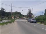 2
2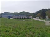 3
3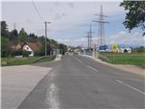 4
4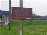 5
5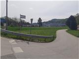 6
6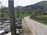 7
7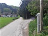 8
8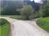 9
9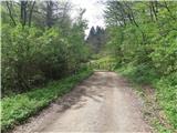 10
10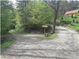 11
11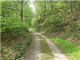 12
12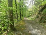 13
13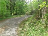 14
14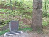 15
15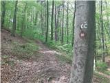 16
16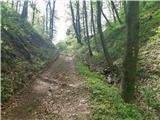 17
17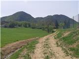 18
18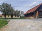 19
19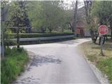 20
20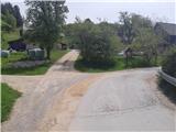 21
21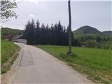 22
22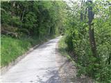 23
23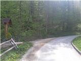 24
24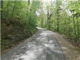 25
25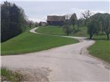 26
26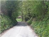 27
27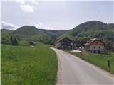 28
28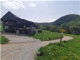 29
29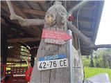 30
30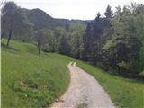 31
31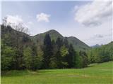 32
32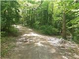 33
33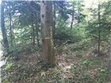 34
34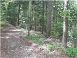 35
35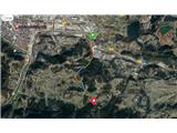 36
36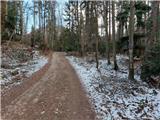 37
37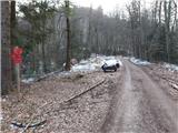 38
38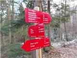 39
39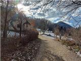 40
40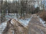 41
41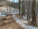 42
42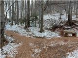 43
43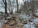 44
44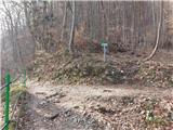 45
45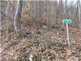 46
46 47
47 48
48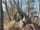 49
49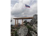 50
50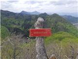 51
51 52
52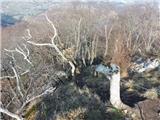 53
53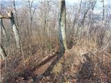 54
54 55
55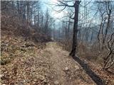 56
56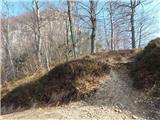 57
57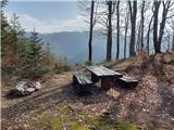 58
58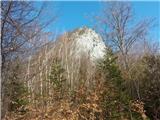 59
59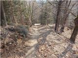 60
60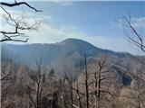 61
61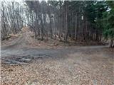 62
62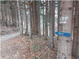 63
63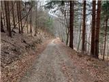 64
64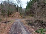 65
65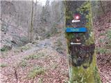 66
66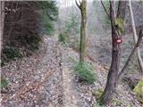 67
67 68
68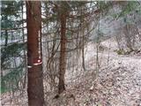 69
69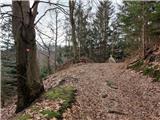 70
70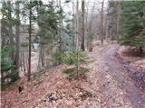 71
71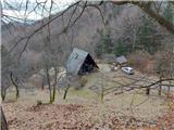 72
72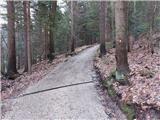 73
73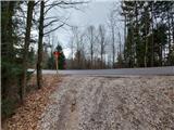 74
74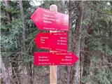 75
75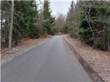 76
76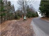 77
77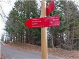 78
78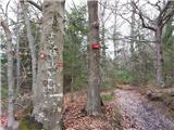 79
79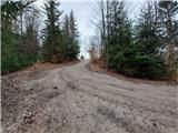 80
80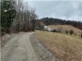 81
81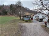 82
82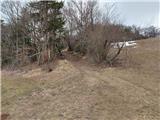 83
83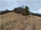 84
84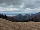 85
85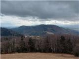 86
86 87
87 88
88 89
89 90
90 91
91 92
92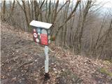 93
93 94
94 95
95 96
96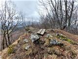 97
97 98
98