Val Alba - Monte Chiavals (on path 450, 428 and south ridge)
Starting point: Val Alba (1055 m)
Path name: on path 450, 428 and south ridge
Time of walking: 2 h 45 min
Difficulty: difficult marked way
Difficulty of skiing: no data
Altitude difference: 1043 m
Altitude difference (by path): 1043 m
Map: Tabacco; Foglio Blatt 018
Access to starting point:
A) From Kranjska Gora past Trbiž, and on the old road towards Videm (Udine) all the way to the settlement Moggio Udinese, then right through the settlement towards Val Aupa, all the way to the settlement Pradis, here right towards Val Alba, all the way to sign that prohibits further driving, where on the right side there is settled macadam parking lot.
B) From Nova Gorica or Sežana on Italian highway to Palmanova, here we choose direction Trbiž to exit Carnia, then through Amaro on the old main road towards Trbiž all the way to Moggio Udinese. Then left towards Val Aupa (further description same as at point a).
Path description:
At the end of the parking lot, we go on a footpath slightly right, which for quite some time runs on flat partly in the forest, partly also on a wide forest ledges below interesting walls. At first marked turn off we go straight, and at the second we turn right over riverbed on the path 428a in the direction of bivouac Bianchi. When at the end of the riverbed we catch forest path, partly in zig-zags, partly in turns we ascend to the next crossroad, where we again turn right towards the bivouac. The path continues through the forest, higher comes out of the forest and is on one part through exposed but wide ledge ascends higher on more grassy area, which after few hairpin turns soon ends on a grassy plain, where there stands a bivouac Bianchi.
To here 1 hour 50 minutes of walking.
Here we turn left, but after good 5 minutes we come to the next crossroad, where we choose the right path, but after 10 meters and another crossroad we choose the left path, which takes us on the south ridge on which from the bivouac in 50 minutes we reach the panoramic peak.
On the way: bivak Bianchi (1715m)
Pictures:
 1
1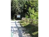 2
2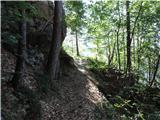 3
3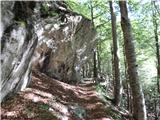 4
4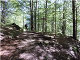 5
5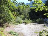 6
6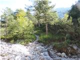 7
7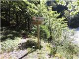 8
8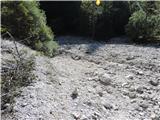 9
9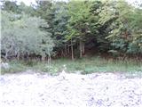 10
10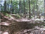 11
11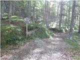 12
12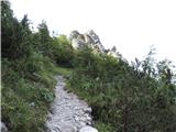 13
13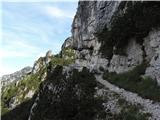 14
14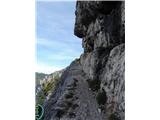 15
15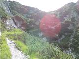 16
16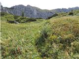 17
17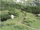 18
18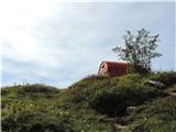 19
19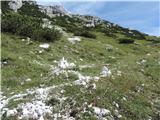 20
20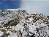 21
21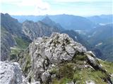 22
22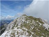 23
23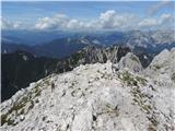 24
24