Zgornja Besnica (Podrovnik) - Sveti Jošt above Kranj (via Gaber)
Starting point: Zgornja Besnica (Podrovnik) (446 m)
Starting point Lat/Lon: 46.255°N 14.2674°E 
Path name: via Gaber
Time of walking: 2 h 30 min
Difficulty: easy marked way
Difficulty of skiing: no data
Altitude difference: 399 m
Altitude difference (by path): 575 m
Map: Škofjeloško in Cerkljansko hribovje 1:50.000
Access to starting point:
A) From Ljubljana, we drive on the old road towards Kranj, and there we stick to the main road, and we follow it to the bridge over the river Sava. Just before the bridge we leave the main road and we continue driving straight in the direction of Besnica. Further, we drive through the settlement Rakovica and Spodnja Besnica, and we follow the road to Zgornja Besnica, where signs for hamlet Podrovnik point us to the left. Further, we drive through the mentioned hamlet, where at the smaller crossroad we continue left a little downwards. The road further continues along the stream Besnica, and we are driving there for approximately 100 meters ahead from the sign "Gozdna cesta uporaba na lastno odgovornost" (forest road use at your own risk) and then we park on an appropriate place at the smaller crossroad.
B) From Jesenice or Bled, we drive on the highway towards Ljubljana, and we follow it to exit Kranj - west. We continue driving on the old regional road towards Ljubljana, and we are driving there to Kranj, where immediately after the bridge over the river Sava we turn right in the direction of Besnica. Further, we drive through the settlement Rakovica and Spodnja Besnica, and we follow the road to Zgornja Besnica, where signs for hamlet Podrovnik point us to the left. Further, we drive through the mentioned hamlet, where at the smaller crossroad we continue left a little downwards. The road further continues along the stream Besnica, and we are driving there for approximately 100 meters ahead from the sign "Gozdna cesta uporaba na lastno odgovornost" (forest road use at your own risk) and then we park on an appropriate place at the smaller crossroad.
Path description:
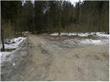
From the starting point, we continue on the left road, and it quickly brings us to a smaller crossing. We continue straight (left over a stream Norway spruce - Norway spruce is similar to cypress, and in Slovenia there are 4 such spruces) on the road which after few minutes leads over a smaller bridge, after which we leave the road and we continue the ascent left on a marked path. The path ahead moderately ascends, and then it quickly flattens and then leads us on a gentle cart track. The marked path returns on the road right at its end, and here we notice already quite old signpost with the caption Mohor, which points us on a wide ascending cart track. Cart track further is for some time still ascending by the stream and then it leaves it and partly through the forest, and partly through short panoramic slopes brings us on the main ridge of mountains, which are rising south from Zgornja Besnica. Here we come to a crossing of the mountain paths, and we continue left in the direction of village Čepulje (right Sveti Mohor). The path ahead for a short time continues on a gentle cart track, and then blazes point us to the right on a footpath which at first barely ascends, and then it starts visibly descending towards the homestead Gaber. Here we step on a worse road which we follow few minutes, and then blazes lead us right uphill. We ascend on a well-beaten path, and it returns on the road, right at the marked crossing. The mentioned road, we only cross (right Čepulje), and then we continue on a marked path in the direction of Sveti Jošt. The path ahead for some time crosses slopes of Špičasti hrib, and then it brings us to a crossing, where the path branches off to the right on Špičasti vrh. We continue straight (left downwards Spodnja Besnica) and we for a short time cross slopes of the mentioned peak, we then gradually pass on a wide forested ridge. We continue on a cart track, and on the left side it bypasses Gladki hrib. After the mentioned hill the path for some time steeper descends, and then in few shorter ascents and descents brings us to the next marked crossing.
We continue straight in the direction of Sveti Jošt (right downwards Čepulje and Planica) on the path which is mostly moderately descending through the forest. A little further, we step on an asphalt road, on which we walk only few steps, and then blazes point us to the left on a marked footpath which at first crosses occasionally steeper slopes, and then it gradually starts ascending steeper. Higher from the left joins another path from Spodnja Besnica, and we continue straight and a little further we cross an asphalt road which leads to the top of Sveti Jošt. From the road path ascends through more and more panoramic grassy slope, and we follow it all the way to the top, which we reach after less than 5 minutes of additional walking.
Pictures:
 1
1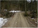 2
2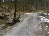 3
3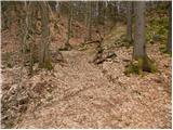 4
4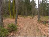 5
5 6
6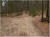 7
7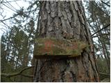 8
8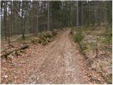 9
9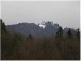 10
10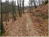 11
11 12
12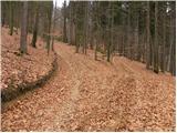 13
13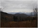 14
14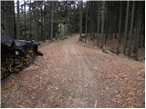 15
15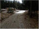 16
16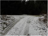 17
17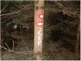 18
18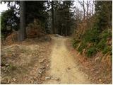 19
19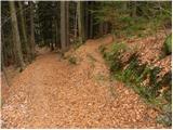 20
20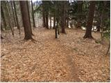 21
21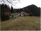 22
22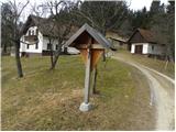 23
23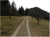 24
24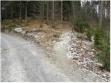 25
25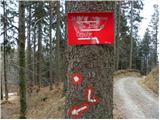 26
26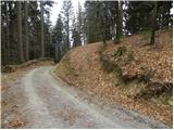 27
27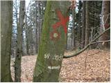 28
28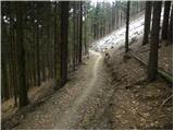 29
29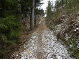 30
30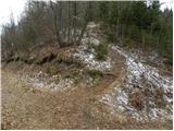 31
31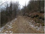 32
32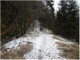 33
33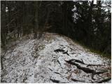 34
34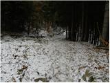 35
35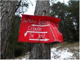 36
36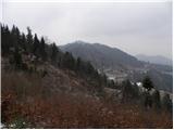 37
37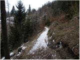 38
38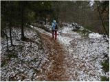 39
39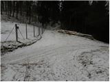 40
40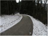 41
41 42
42 43
43 44
44 45
45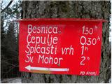 46
46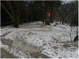 47
47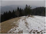 48
48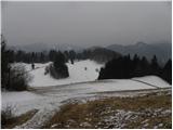 49
49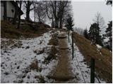 50
50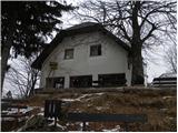 51
51 52
52