Rateče - Dom na Tromeji (footpath)
Starting point: Rateče (865 m)
Starting point Lat/Lon: 46.4963°N 13.7192°E 
Path name: footpath
Time of walking: 55 min
Difficulty: easy marked way
Difficulty of skiing: no data
Altitude difference: 280 m
Altitude difference (by path): 300 m
Map: Kranjska Gora 1:30.000
Access to starting point:
First, we drive to Kranjska Gora, then we continue driving towards Rateče. At the intersection, where the road to Planica branches off to the left, and straight ahead it continues towards Italy, we turn right and drive to the center of Rateče, where we park at the appropriate place.
Path description:
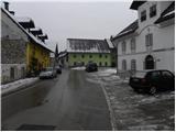
From the center of Rateče, we head onto the road in the direction of Tromeja. The road, which at first only gently ascends, leads us through the dense settlement, then brings us to a smaller crossroad, where we continue left in the direction of Tromeja (right dead-end street). The road then leads us past a few more houses, and we quickly arrive at the next crossroad, where we continue right. Here the road leads us past the yard of the nearby house, and above it the road enters the forest and changes into a somewhat steeper footpath. For some time we ascend through the forest, then we reach the forest road which leads from Rateče towards Tromeja.
We continue on the road, which becomes steeper, and for some time we ascend through the forest along it. Higher up, we cross a panoramic meadow, and the path behind it returns into the forest and brings us to a marked crossroad. Here we continue right (straight Peč - Tromeja) and along the road, which begins to descend gently, after 3 minutes of further walking we arrive at the Dom na Tromeji.
Pictures:
 1
1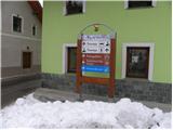 2
2 3
3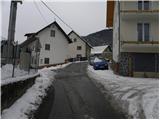 4
4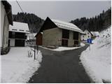 5
5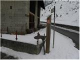 6
6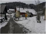 7
7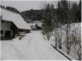 8
8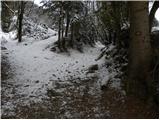 9
9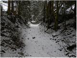 10
10 11
11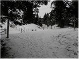 12
12 13
13 14
14 15
15 16
16 17
17 18
18 19
19 20
20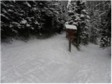 21
21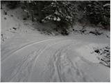 22
22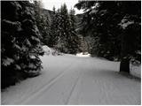 23
23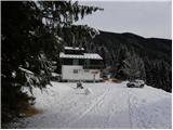 24
24 25
25 26
26