Aussichtswarte Vulkanland - Stradner Kogel
Starting point: Aussichtswarte Vulkanland (479 m)
Starting point Lat/Lon: 46.8253°N 15.92296°E 
Time of walking: 45 min
Difficulty: easy marked way
Difficulty of skiing: no data
Altitude difference: 130 m
Altitude difference (by path): 150 m
Map:
Access to starting point:
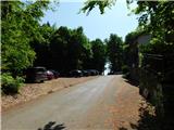
From Gornja Radgona we drive to Austria, from where we follow the signs for Sveta Ana pri Igu / Sankt Anna am Aigen. In the settlement Deutsch Haseldorf we turn left towards the settlement Tieschen, and after a short descent, we then turn left again. Further, we drive through the settlement Pichla bei Radkersburg, where we turn sharply right in the direction of the settlements Bad Gleichenberg and Frutten-Gießelsdorf. In the settlement Frutten-Gießelsdorf we turn right and drive to the northern part of the settlement, where at the bus stop on a smaller saddle we turn left in the direction of Aussichtswarte. This is followed by approximately 2 km of ascent, and we arrive at the parking lot near the inn and the lookout tower.
Path description:
From the parking lot, we head right from the inn on a marked path following the signs for Stainz Bei Straden. After a few dozen steps, we leave this direction and turn right at the crossing. We continue gently through the forest, passing benches and a cross at first, and a little further on, a small fenced holiday cottage. A little further, the marked path from the starting point at the inn or boarding house Grenzlandhof joins from the right, and we continue straight, still gently ascending through the forest. A little further, we approach the quarry, which we bypass slightly to the right, following the blazes at the crossings. The path then leads us onto a macadam road, where it first passes a pond, then returns to the forest and gradually moves away from the quarry area. On a gentle section, the blazes from the road lead left into a dense forest, where we follow the signs and blazes. A few minutes later, we cross a macadam road and continue straight on a wider cart track that gradually starts ascending more steeply. Just below the summit of Stradner Kogel, the marked path turns left, but we continue straight on a cart track, which quickly brings us to the transmitters at the top, where there are some benches.
Description and pictures refer to conditions in April 2025.
Pictures:
 1
1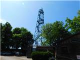 2
2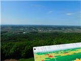 3
3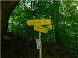 4
4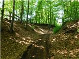 5
5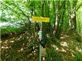 6
6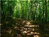 7
7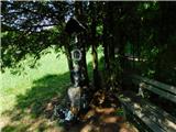 8
8 9
9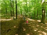 10
10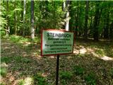 11
11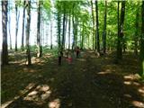 12
12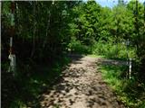 13
13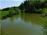 14
14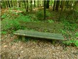 15
15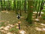 16
16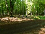 17
17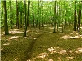 18
18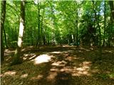 19
19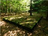 20
20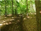 21
21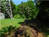 22
22 23
23