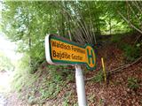
Bajdiše (Gozdar) / Waidisch (forsthaus) - Matzen
Starting point: Bajdiše (Gozdar) / Waidisch (forsthaus) (555 m)
Starting point Lat/Lon: 46.494°N 14.3485°E 
Time of walking: 3 h
Difficulty: partly demanding marked way
Difficulty of skiing: no data
Altitude difference: 1072 m
Altitude difference (by path): 1100 m
Map: Karavanke - osrednji del 1:50.000
Access to starting point:
Via the Ljubelj border crossing we drive into Austria, then we drive on the main road towards Celovec / Klagenfurt, but only to the settlement Podljubelj / Unterloibl, where we continue right in the direction of the Hofer store and the police. Further down, we arrive in Borovlje / Ferlach, where we cross a railway track, and a little further we go right towards the settlement Bajdiše / Waidisch. The road ahead leads us past the Eurospar store, and we follow the main road to the settlement Bajdiše / Waidisch. Just a few 10 meters ahead from the road sign, which marks the end of the settlement Bajdiše, on the left we notice yellow hiking signposts, where the described path begins. At the starting point, there are no arranged parking spaces.
Path description:
Hiking signposts from the main road direct us left onto a macadam road, where there is usually a log storage area, after a few steps we turn sharply left onto a rough macadam road, which quickly turns into a cart track. When the cart track flattens a little higher in the forest, we leave it to the right onto a marked footpath, which climbs steeply through the forest and then brings us to an old clearing, where the bushes are overgrown. On this section the path flattens, then returns to the forest and brings us to a section where we ascend diagonally across an occasionally steeper slope. On the section where the slope is steepest, a steel cable assists us, otherwise the path is not particularly demanding. A little further on we step out of the forest again, the path disappears on a small meadow, and we continue straight to the hut with a feeding station, where there is a marked junction.
We continue left towards Macna / Matzen and proceed along the macadam road, from which a nice view towards Košuta opens up temporarily. Shortly after the right serpentine we leave the road and continue left uphill, where the blazes direct us. This is followed by an ascent through the forest, then we briefly return to the road, which we leave at the first bend. This is followed by an occasionally quite scenic ascent, the gradient eases when we return to the road. Walking along the road follows, from the nearby junction we go left, then the road, from which a view towards Košuta and Grlovec opens up, higher also towards Dobrač, takes us to a small valley, where we leave the road for some time. Initially there is an ascent along the valley, then the path turns left, bringing us out of the forest. This is followed by an ascent through still low young forest, where on grassy slopes we carefully follow the blazes, and the path also leads over several fallen trees. A steep ascent through the forest follows, where due to the large number of fallen trees the path is harder to follow, then we return to the road, along which we walk to the nearby saddle Koce / Hansenruhe, where the next marked junction is.
We continue towards Macna, where the path leads past fenced benches and a table, the initially gentle path running along the ridge returns to the forest. In the forest the path forks again, we choose the slightly left path (slightly right sv. Ana), which becomes quite steep further on, initially running slightly left of the ridge. Higher up the path returns to the ridge, which is usually full of auriculas in May, and occasionally some views open up to the surrounding mountains. Higher up a short descent follows, then we quickly climb to a scenic ridge, along which we reach the south forepeak of Macna, where the logbook box stands. From the logbook box we continue along the scenic ridge, which continues with a few shorter descents and ascents, then we climb to the highest peak of Macna.
From the highest peak we can continue to the northern forepeak a few minutes away, where a cross stands.
Bajdiše - Koce 2:10, Koce - Macna 0:50.
Description and pictures refer to the condition in 2019 (May).
On the way: Koce / Hansenruhe (1356m)
Pictures:
 1
1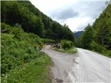 2
2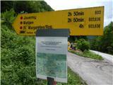 3
3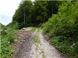 4
4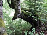 5
5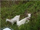 6
6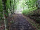 7
7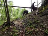 8
8 9
9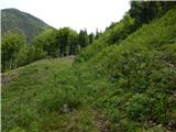 10
10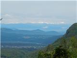 11
11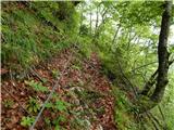 12
12 13
13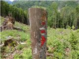 14
14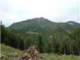 15
15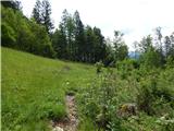 16
16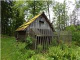 17
17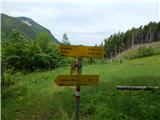 18
18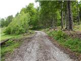 19
19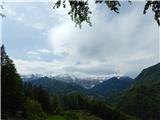 20
20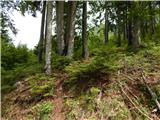 21
21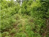 22
22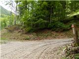 23
23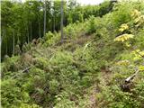 24
24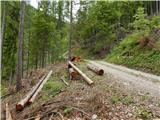 25
25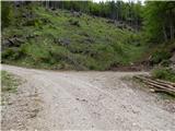 26
26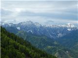 27
27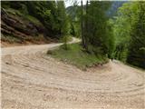 28
28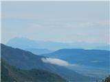 29
29 30
30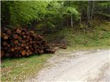 31
31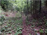 32
32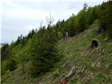 33
33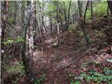 34
34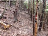 35
35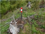 36
36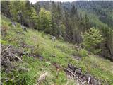 37
37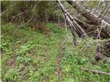 38
38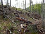 39
39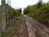 40
40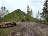 41
41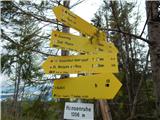 42
42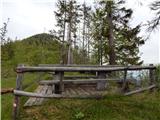 43
43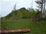 44
44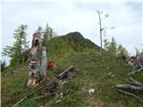 45
45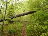 46
46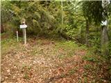 47
47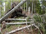 48
48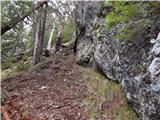 49
49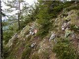 50
50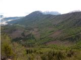 51
51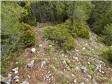 52
52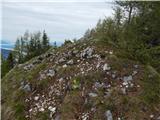 53
53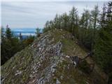 54
54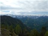 55
55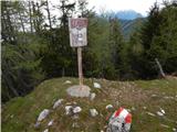 56
56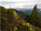 57
57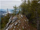 58
58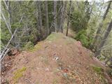 59
59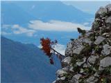 60
60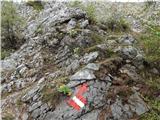 61
61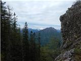 62
62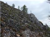 63
63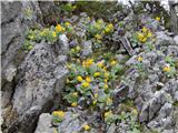 64
64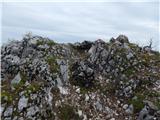 65
65 66
66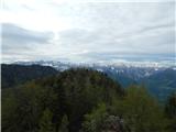 67
67