Starting point: Bavšica (698 m)
| Latitude/Longitude: | 46,3699°N 13,6299°E |
| |
Walking time: 1 h 30 min
Difficulty: easy marked way
Elevation gain: 483 m
Elevation difference along the route: 483 m
Map: Julijske Alpe - zahodni del 1:50.000
Recommended equipment (summer):
Recommended equipment (winter):
Views: 9.107
 | 1 person like this post |
Access to starting point:
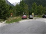
From the Bovec - Predel road, an asphalt road branches off to the right into the Bavšica Valley at Fort Kluže. Head onto this road and follow it with a moderate ascent to the parking lot in Bavšica (the parking lot is located by the TNP sign).
Route description:
From the parking lot, head left onto the poorer road towards the Shelter under Špička and Planina Bala (right Bavški Grintavec) and follow it for just under 5 minutes to the point where the markers direct you left onto an initially wide footpath. The path soon narrows and leads to a small junction, where the markers direct you sharply right onto a gradually steeper trail. The path soon levels out and leads to the abandoned village of Logje (drinking water is just a few meters off the path).
From the village of Logje, continue on the marked trail, which continues across a gentle grassy slope. Further on, the path ascends somewhat more steeply and transitions to partly rocky terrain (scree overgrown with tall grass). The path then levels out again and enters dense forest, continuing all the way to the abandoned Planina Bala.
Bavšica - Logje 0:25, Logje - Planina Bala 1:05.
Photos:
 1
1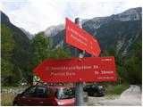 2
2 3
3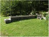 4
4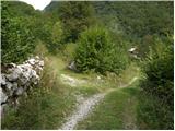 5
5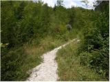 6
6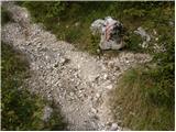 7
7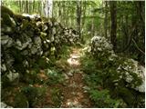 8
8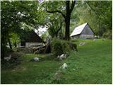 9
9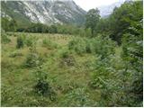 10
10 11
11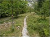 12
12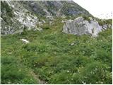 13
13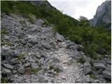 14
14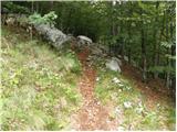 15
15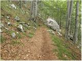 16
16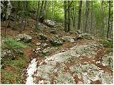 17
17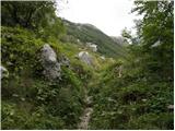 18
18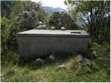 19
19
Discussion about the trip Bavšica - Planina Bala
To post a comment you must log in:
If you do not yet have a username, you must first
register.