Bele Vode (Rebršak) - Smrekovec
Starting point: Bele Vode (Rebršak) (750 m)
Starting point Lat/Lon: 46.4134°N 14.9303°E 
Time of walking: 2 h 5 min
Difficulty: easy marked way
Difficulty of skiing: easily
Altitude difference: 827 m
Altitude difference (by path): 827 m
Map: Kamniške in Savinjske Alpe 1:50.000
Access to starting point:
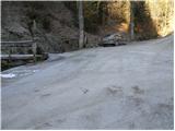
From the highway Ljubljana - Celje, we take the exit Mozirje and follow the road ahead in the direction of Mozirje and Logarska dolina. Immediately after the village Ljubija (which is located a little before Mozirje), the road to Bele Vode branches off to the right. The road then runs through the village Ljubija again and 500 m after the village brings us to a junction, where we continue straight on the road which runs along the stream (right: Šoštanj, Lepa Njiva and Bele Vode). We follow this road, which soon becomes macadam, straight at all junctions along the stream. When we get to the junction where the road to Brložnik branches off to the left over a bridge, we park on the parking lot by the road (the parking lot is 50 m ahead).
Path description:
From the parking lot, we cross a bridge and ascend along the road in the direction of Brložnik and Smrekovec. After a few minutes' walk on the road, we leave it, as the blazes direct us left onto a footpath, which over a small bridge crosses the stream. The path then ascends through the forest and somewhat higher crosses a pasture fence, after which the path turns left onto grassy slopes. After approximately half an hour of walking from the parking lot, we step onto the road at Spodnji Brložnik. Immediately after the information board, which stands by the road, we continue right on a cart track, which quickly brings us to the mentioned farm. A well-marked path behind the farm turns right and past the hunting observatory, chapel and trough with water soon brings us into a spruce forest. The path through the spruce forest ascends gently along a cart track, which after some time brings us to a forest road, where there is a junction.
We continue straight in the direction of Smrekovec (right Andrejev dom na Slemenu) on the path, which ascends somewhat more steeply. After a few minutes of further walking, we reach a large meadow, through which the path in a few minutes brings us to the Dom na Smrekovcu.
From the hut, we continue on the path in the direction of Smrekovec. The path first moderately ascends across a grassy slope, then goes into the forest, where it steeply ascends for a short time. The steepness quickly eases and the path brings us to a junction, where we continue slightly right in the direction of Smrekovec (left Komen). The path ahead leads us through increasingly sparse forest quite steeply upward. After a few minutes, we finally come out of the forest and the path flattens. There follows only a few minutes of easy walking along the panoramic summit ridge of Smrekovec to the stone pyramid, which we see on the top.
Pictures:
 1
1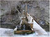 2
2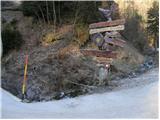 3
3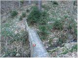 4
4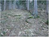 5
5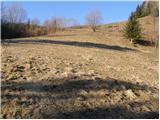 6
6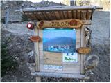 7
7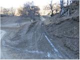 8
8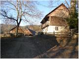 9
9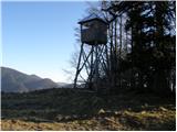 10
10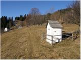 11
11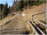 12
12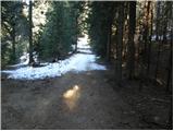 13
13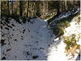 14
14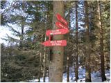 15
15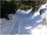 16
16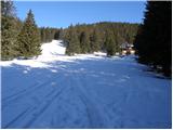 17
17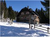 18
18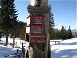 19
19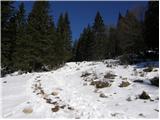 20
20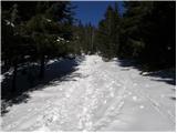 21
21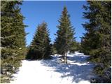 22
22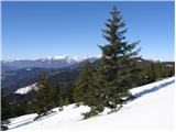 23
23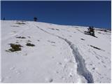 24
24 25
25