Bergheimat (Leppner Alm) - Dachskofel (via Ochsnerhütte)
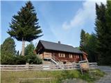
Starting point: Bergheimat (Leppner Alm) (1581 m)
Path name: via Ochsnerhütte
Time of walking: 3 h
Difficulty: easy marked way
Difficulty of skiing: no data
Altitude difference: 792 m
Altitude difference (by path): 870 m
Map:
Access to starting point:
Drive to the town of Irschen (Austria). The fastest way to Irschen is via the motorway to Spittal and then along the regional road past the towns of Lendorf, Greifenburg and Dellach im Drautal all the way to Irschen. In Irschen, follow the signs for Leppner Alm. The steep road winds along the steep panoramic slope past houses, then turns into the forest. The road is macadam in the last section until, after a few kilometres, we reach the destination at the parking lot under the hut or guesthouse Bergheimat (Leppner Alm).
Path description:
From the parking lot, follow the macadam road to the information tables and cross the small bridge. Immediately after the bridge, turn left onto the trail, which climbs steeply past the signposts. After a few minutes, you reach a track where the signpost directs right. After the bend, the signpost directs back onto the trail (direction Scharnik). Follow the trail through the sparse larch forest until it joins the road. Follow the road for a short section until the clearly visible markers direct right onto the trail. The trail leads to Ochsnerhütte at 1810 m.
The signpost behind the hut indicates the direction to Scharnik marked 315. The path soon passes a larger cross and a bit higher a small lake before turning towards the ridge. Just below the ridge is a junction where the path branches left (marking for Lamnitzsee). This is followed by a longer traverse to the other side of the ridge mostly in a gentle descent until reaching the junction with the path from the Unteralmhütte hut. Continue ahead in the direction of Lamnitzsee. Soon another stream is crossed, then the path becomes steeper and heads towards Scharnik mountain. After 30 minutes from the last signposts, turn left towards Lamnitzsee. The junction is marked.
This is followed by 15 minutes of scenic walking to the summit, which offers wonderful views of the surroundings. A visit to Lamnitz Lake (Lamnitzsee), located less than 100 metres below the summit, is recommended.
Pictures:
 1
1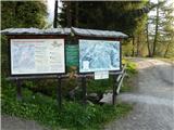 2
2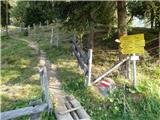 3
3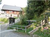 4
4 5
5 6
6 7
7 8
8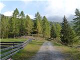 9
9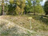 10
10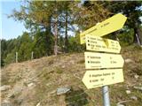 11
11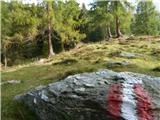 12
12 13
13 14
14 15
15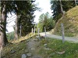 16
16 17
17 18
18 19
19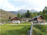 20
20 21
21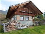 22
22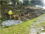 23
23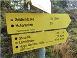 24
24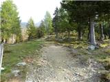 25
25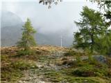 26
26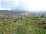 27
27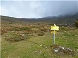 28
28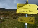 29
29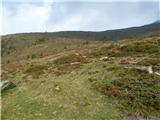 30
30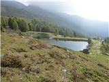 31
31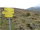 32
32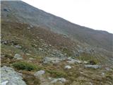 33
33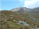 34
34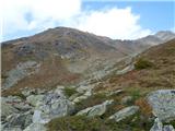 35
35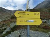 36
36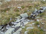 37
37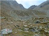 38
38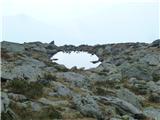 39
39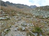 40
40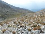 41
41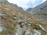 42
42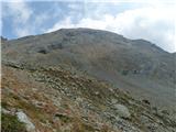 43
43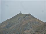 44
44 45
45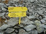 46
46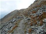 47
47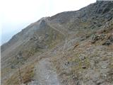 48
48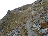 49
49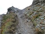 50
50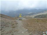 51
51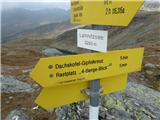 52
52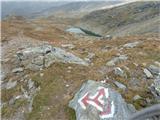 53
53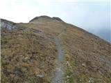 54
54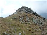 55
55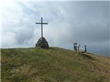 56
56 57
57 58
58 59
59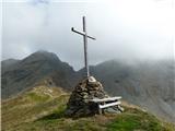 60
60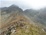 61
61