Bergheimat (Leppner Alm) - Lamnitzsee (via Unteralmhütte)
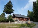
Starting point: Bergheimat (Leppner Alm) (1581 m)
Path name: via Unteralmhütte
Time of walking: 3 h 15 min
Difficulty: easy marked way
Difficulty of skiing: no data
Altitude difference: 712 m
Altitude difference (by path): 730 m
Map:
Access to starting point:
Drive to Irschen (Austria). The fastest way to Irschen is via the motorway to Špital and then on the regional road past Lendorf, Greifenburg and Dellach im Drautal all the way to Irschen. In Irschen, follow the signs for Leppner Alm. The steep road winds along the steep scenic slope past houses, then turns into the forest. The road is macadam in the last section, until after a few kilometres we reach the parking lot below the hut or guesthouse Bergheimat (Leppner Alm).
Path description:
From the parking lot, follow the macadam road to the information tables and cross the small bridge. Immediately after the bridge, turn left onto the footpath that steeply ascends past the signposts. After a few minutes, the path joins the road, where the signpost directs us left. Along the macadam road we soon reach houses, behind which at the signposts we turn right. The path then ascends in steeper sections through the forest. Soon it reaches the pasture and bypasses the hut, after which we turn right. The path ascends and soon merges with the cart track. Before the barrier, the path branches off left. In the continuation, the path crosses several springs and numerous pasture areas. Finally, signposts one minute before the hut direct us right (left is the one-minute walk distant hut Unteralmhütte).
The path is scenic in the continuation, while it ascends and crosses a spring. Along the path there is a luxurious wooden lounger. In short, 45 minutes from the Unteralmhütte hut the path from Ochsnerhütte joins. Here keep left towards Lamnitzsee. Soon another stream is crossed, then the path becomes steeper and runs towards Scharnik mountain. After 30 minutes from the last signposts turn left (right is Scharnik). Follow the more level path to the signposts, which direct us a few dozen meters lower to Lamnitz lake. A visit to Dachskofel mountain is also recommended, about 10 minutes walk away.
Pictures:
 1
1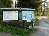 2
2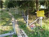 3
3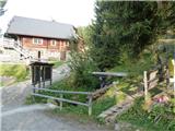 4
4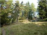 5
5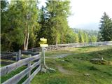 6
6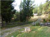 7
7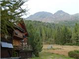 8
8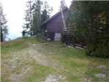 9
9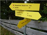 10
10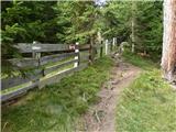 11
11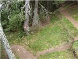 12
12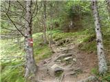 13
13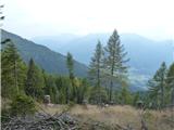 14
14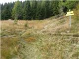 15
15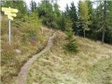 16
16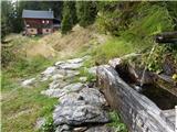 17
17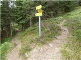 18
18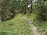 19
19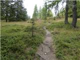 20
20 21
21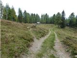 22
22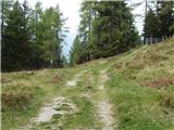 23
23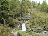 24
24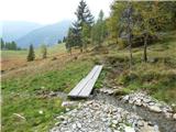 25
25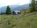 26
26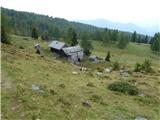 27
27 28
28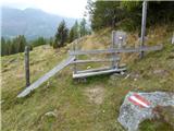 29
29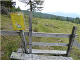 30
30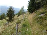 31
31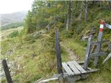 32
32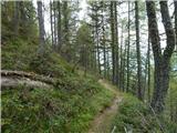 33
33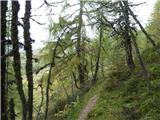 34
34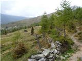 35
35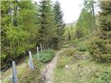 36
36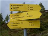 37
37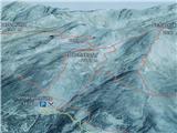 38
38 39
39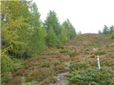 40
40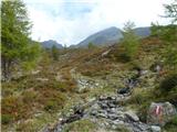 41
41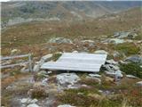 42
42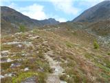 43
43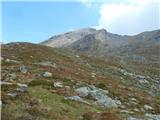 44
44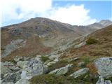 45
45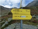 46
46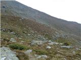 47
47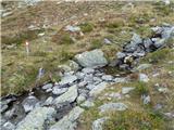 48
48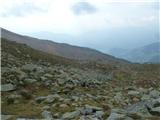 49
49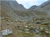 50
50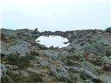 51
51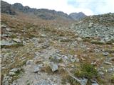 52
52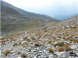 53
53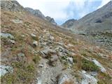 54
54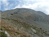 55
55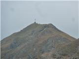 56
56 57
57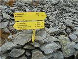 58
58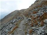 59
59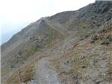 60
60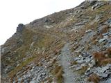 61
61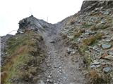 62
62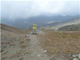 63
63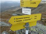 64
64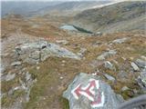 65
65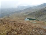 66
66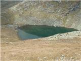 67
67