Bergheimat (Leppner Alm) - Scharnik (via Unteralmhütte)
Starting point: Bergheimat (Leppner Alm) (1581 m)
Path name: via Unteralmhütte
Time of walking: 4 h
Difficulty: partly demanding marked way
Difficulty of skiing: no data
Altitude difference: 1074 m
Altitude difference (by path): 1090 m
Map:
Access to starting point:
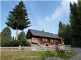
Drive to Irschen (Austria). The fastest way to Irschen is via the motorway to Špital and then along the regional road past the towns of Lendorf, Greifenburg and Dellach im Drautal all the way to Irschen. In Irschen, follow the signs for Leppner Alm. The steep road winds up the steep scenic slope past houses, then turns into the forest. The road is macadam in the final section until, after a few kilometers, you reach the destination at the parking lot under the hut or guesthouse Bergheimat (Leppner Alm).
Path description:
The trail described in the following is recommended for descent.
From the parking lot, follow the macadam road to the information tables and cross the small bridge. Immediately after the bridge, head left onto the footpath, which steeply ascends past the signposts. After a few minutes, the trail joins the road, where the signpost directs left. Along the macadam road you soon reach houses, behind which at the signposts turn right. The trail then ascends in steeper sections through the forest. Soon it reaches a pasture and bypasses the hut, after which you turn right. The trail then ascends and soon merges with the cart track. Before the barrier, the trail branches left. In the continuation, the trail crosses several brooks and numerous pasture areas. Finally, the direction signs a minute before the hut direct right (left is the Unteralmhütte hut, one minute walk away).
The trail is scenic in the continuation, while it ascends and crosses a brook. Along the trail, you can find a luxurious wooden lounger. In short, after 45 minutes from the Unteralmhütte hut, the trail from Ochsnerhütte joins. Here keep left in the direction of Lamnitzsee. Soon another brook is crossed, then the trail becomes steeper and runs towards Scharnik mountain. After 30 minutes from the last direction signs, turn right (left is Lamnitzsee and Dachskofel). This is followed by the ascent to the saddle Gursgen Törl, 2445 m, reached in the next 20 minutes. At the saddle, turn right towards the Scharnik summit. The trail then runs along the ridge all the way to the top. The trail is not demanding but caution is needed when walking due to the rocky slabs.
Pictures:
 1
1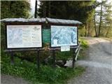 2
2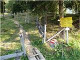 3
3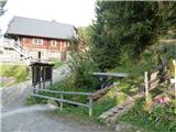 4
4 5
5 6
6 7
7 8
8 9
9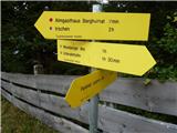 10
10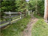 11
11 12
12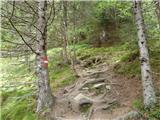 13
13 14
14 15
15 16
16 17
17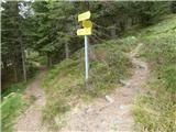 18
18 19
19 20
20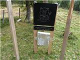 21
21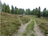 22
22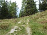 23
23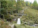 24
24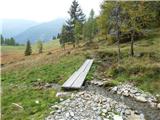 25
25 26
26 27
27 28
28 29
29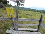 30
30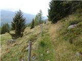 31
31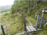 32
32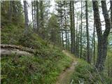 33
33 34
34 35
35 36
36 37
37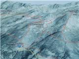 38
38 39
39 40
40 41
41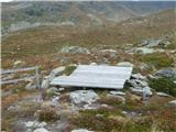 42
42 43
43 44
44 45
45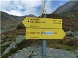 46
46 47
47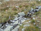 48
48 49
49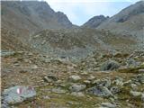 50
50 51
51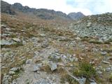 52
52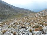 53
53 54
54 55
55 56
56 57
57 58
58 59
59 60
60 61
61 62
62 63
63 64
64 65
65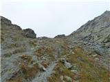 66
66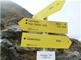 67
67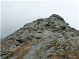 68
68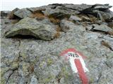 69
69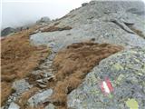 70
70 71
71 72
72 73
73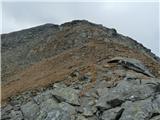 74
74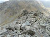 75
75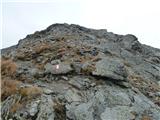 76
76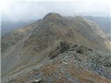 77
77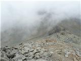 78
78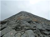 79
79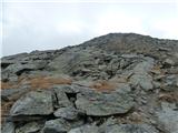 80
80 81
81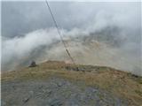 82
82 83
83 84
84 85
85 86
86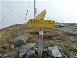 87
87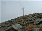 88
88