Starting point: Besnica (342 m)
Starting point Lat/Lon: 46.042°N 14.6457°E 
Time of walking: 2 h 15 min
Difficulty: easy marked way
Difficulty of skiing: easily
Altitude difference: 450 m
Altitude difference (by path): 525 m
Map: Ljubljana - okolica 1:50.000
Access to starting point:
A) From the Ljubljana east bypass, take the Bizovik exit, then continue driving towards Sostro and Besnica. After the pass where the road branches off to the right towards the settlement Javor, the road starts descending, and after a short macadam section it brings us into the valley of the Besnica stream. At the crossroad near some houses, continue left towards Zalog, and after the crossroad pay attention to the right turn-offs. After approximately 500 meters we reach the first turn-off of the road to the right, where with greater attention we can notice some marks or blazes, and about 100 meters ahead at the turn-off of the road towards the settlement Vnajnarje, there are also red hiking signposts. Neither at the first nor at the second turn-off are there arranged parking spots, but it is possible to park at an appropriate place beside the road at the first turn-off.
B) First, drive to Zalog (part of Ljubljana), then across the Ljubljanica river continue driving towards Podgrad, where turn right towards Besnica. The road ahead first leads through a narrower underpass under the railway line, then gradually starts ascending. Follow the mentioned road to the left turn-off towards the settlement Vnajnarje, where we notice red signs for Janče, or drive another 100 meters further to the second left turn-off of the road, where there are somewhat more parking options.
Path description:
From the starting point at the marked road turn-off towards the settlement Vnajnarje and beside which there are red hiking signposts, continue along the road in the direction of the mentioned settlement and the footpath to Janče. Leave the road towards Vnajnarje at the first right road turn-off, where the path from the second possible starting point also joins (to here it is less than 5 minutes on both paths).
Both paths join at the woodshed, where we notice signs of the hiking path Pot kurirjev in vezistov (the path is marked with round yellow-blue blazes; at the woodshed and elsewhere besides the mentioned ones it is also possible to notice old TV signs).
From the place where both paths join, continue along the narrower ascending asphalt road, which we leave shortly after the right bend as the blazes lead us left into the forest. Through the forest the path mostly follows old cart tracks, and then when we step out of the forest, it ends or disappears. Here continue along the right edge of the forest, higher along the cart track that ascends across the upper part of the panoramic hayfield. The cart track further ahead joins a macadam road, which we follow right to the nearby house. At the house go left and quickly ascend a somewhat steeper cart track to the asphalt road, which we then follow right. The asphalt road soon levels out, then continues for some time without major elevation changes. At the smaller intersection where the road forks left towards the farms Jožman and Jakopič, continue straight. The path ahead leads past a smaller monument and shortly after also past the sign for the end of the settlement Vnajnarje. From the road a partial view opens up further, reaching all the way to Krim and beyond. Somewhat further from the NOB monument, which we notice on the right side of the road, leave the asphalt road and continue slightly left onto the macadam road, along which we walk to the first left bend. At the mentioned bend, where the Borovničeva pohodna pot also joins, continue straight, and the path continues for some time along a wide cart track that briefly runs through the forest. When the forest ends, the road becomes a nice macadam one, from which a nice view opens towards Janče and the surrounding hills. After the built chapel, join a wider macadam road, which at the nearby houses gets an asphalt surface. Behind the houses arrive at a smaller intersection, where the asphalt road continues right, a forest road forks left towards Breza, and straight ahead the marked path to Janče continues. The first meters from where we leave the road are along an overgrown path, initially mostly brambles, higher up also some fallen trees. After a short ascent, the path takes us onto a cart track which levels out after a while, then in a gentle descent brings us back to the asphalt road. When we return to the road, the path leads past a wooden cross, later also past the primary school. When the road enters the forest again, temporarily leave it and ascend the marked footpath, which shortly before the larger chapel returns to the road. From the chapel a nice view opens up, and along the main road past yet another chapel we arrive in the settlement Janče. At Janče, at the first intersection continue left towards the Planinski dom na Jančah, which we reach after some 10 steps of further walking.
Description and pictures refer to the conditions in 2014 (September).
On the way: Vnajnarje (640m)
Pictures:
 1
1 2
2 3
3 4
4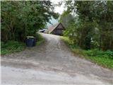 5
5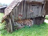 6
6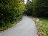 7
7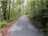 8
8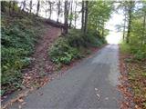 9
9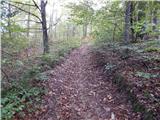 10
10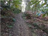 11
11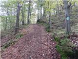 12
12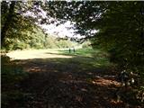 13
13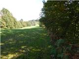 14
14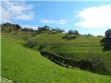 15
15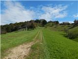 16
16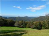 17
17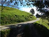 18
18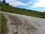 19
19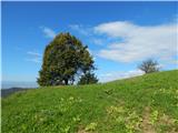 20
20 21
21 22
22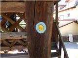 23
23 24
24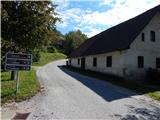 25
25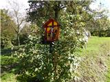 26
26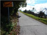 27
27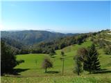 28
28 29
29 30
30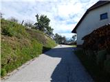 31
31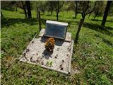 32
32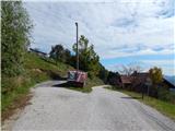 33
33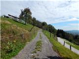 34
34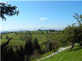 35
35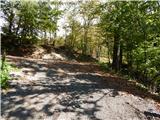 36
36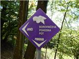 37
37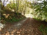 38
38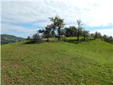 39
39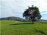 40
40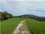 41
41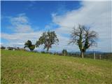 42
42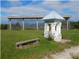 43
43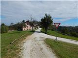 44
44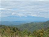 45
45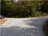 46
46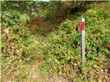 47
47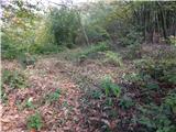 48
48 49
49 50
50 51
51 52
52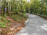 53
53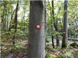 54
54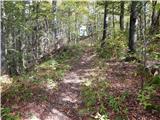 55
55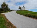 56
56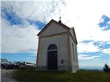 57
57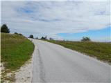 58
58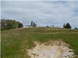 59
59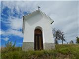 60
60 61
61 62
62 63
63 64
64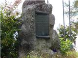 65
65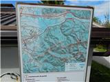 66
66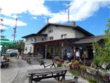 67
67 68
68