Bistrica pri Tržiču - Sveti Jurij above Tržič (on eastern road)
Starting point: Bistrica pri Tržiču (525 m)
Starting point Lat/Lon: 46.3553°N 14.2933°E 
Path name: on eastern road
Time of walking: 25 min
Difficulty: easy unmarked way
Difficulty of skiing: no data
Altitude difference: 148 m
Altitude difference (by path): 148 m
Map: Karavanke - osrednji del 1:50.000
Access to starting point:
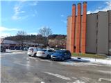
We leave Gorenjska highway at the junction Podtabor, and then we continue driving towards Ljubelj. In front of a gas station we turn right in the direction of Tržič, then after a short descent, we go left towards Bistrica pri Tržiču. Behind the underpass we turn right and then we park on a large parking lot near the main road.
Path description:
At the end of the northeastern part of the parking lot, we notice shorter stairs, on which we ascend, and then we continue between sports field and the main road towards Ljubelj. We quickly reach local road which we follow to the left, when we reach the main road towards Begunje na Gorenjskem, we ascend on it to the left turn. At the crossroad few 10 strides ahead from the turn we continue right on the road Pod gradom. During the ascent on the mentioned road we quickly reach a marked path from Tržič, and which continues on an asphalt road, on which we were already walking until now.
At the next crossroads, we follow the blazes, and we gradually ascend above the last house, from where a beautiful view opens up. Next follows some crossing towards the left and then we get to a marked crossing by a bigger chapel.
Behind the chapel, we go left on a macadam road, and there we ascend to Vila Bistrica, in front of which we turn right and in few 10 strides of additional walking ascend to a small church of St. Jurij.
Description and pictures refer to a condition in the year 2017 (January).
Pictures:
 1
1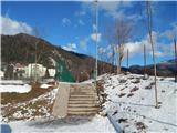 2
2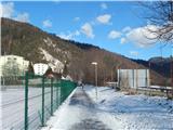 3
3 4
4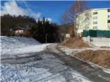 5
5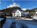 6
6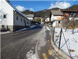 7
7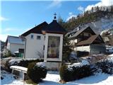 8
8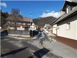 9
9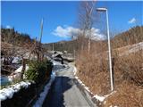 10
10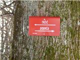 11
11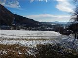 12
12 13
13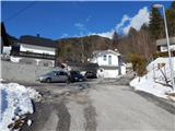 14
14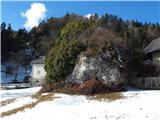 15
15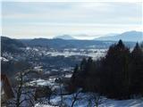 16
16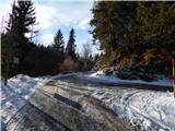 17
17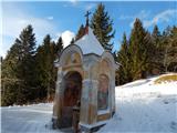 18
18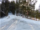 19
19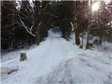 20
20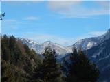 21
21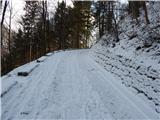 22
22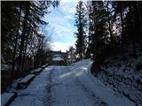 23
23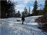 24
24 25
25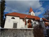 26
26