Blečji vrh - Gradišče (via Kucelj)
Starting point: Blečji vrh (550 m)
Starting point Lat/Lon: 45.9892°N 14.7277°E 
Path name: via Kucelj
Time of walking: 1 h 30 min
Difficulty: easy marked way
Difficulty of skiing: easily
Altitude difference: 156 m
Altitude difference (by path): 300 m
Map: Ljubljana - okolica 1:50.000
Access to starting point:
From highway Ljubljana - Novo mesto we go to the exit hotel Grosuplje (not the exit Grosuplje and Šmarje - Sap) and we follow the road ahead in the direction of village Polica. In the mentioned village, we continue driving in the direction of village Blečji vrh. Above the village Blečji vrh we get to a smaller crossroad, where we leave the asphalt road and we continue straight on a marked macadam road by which we then park.
To Polica we can also come from Višnja gora direction.
Path description:
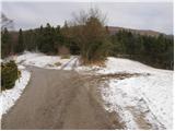
From the starting point, we continue on the macadam road by which we've parked. Already after few steps of walking by the road we notice a sign, that we are entering the bear area. After few minutes of gentle walking we get to a crossing, where we continue with an ascent slightly left, still on the macadam road (straight path Pot dveh slapov). The road then starts ascending steeper and it quickly brings us to the next poorly marked crossroad, where we continue on the left marked road.
Ahead the road descends a little, crosses a torrent stream and after it steeply ascends. At the next crossroad by which we notice another sign, that we are in a bear area, we continue right. The road which is occasionally relatively steeply ascending after approximately 40 minutes of walking comes out of the forest, where on the left side we notice a bigger cross. We continue straight on an increasingly bad road which changes into a cart track and in few additional strides of easy walking it brings us to the summit of Kucelj which we recognize by a smaller geodetic tower.
From the top of Kucelj, we continue slightly right on at first a little poorly visible path by which we soon notice signs (path Pot dveh slapov), which point us to the right downwards in the forest. The path which runs on a cart track soon passes out of the forest on a little larger clearing, and then it returns into the forest. Lower, we step on an asphalt road on which we descend to a crossroad in the village Gornje Brezovo.
At the crossroad, we continue sharply left on a marked road which we then follow only good 100 meters to the spot, where on the road we notice a blaze, which points us to the right on a cart track, that starts gently ascending through meadows. Cart track is slowly turning towards the left and then turns sharply right and gradually changes into at first a poorly visible footpath. After that, the path turns a little more to the right and is further steeply ascending on the right side of a grassy slope. The path higher crosses a short lane of a forest and only few steps further it brings us to the summit on which there is a big cross and below it a bench.
Pictures:
 1
1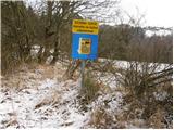 2
2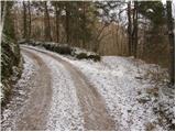 3
3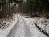 4
4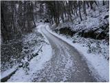 5
5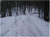 6
6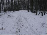 7
7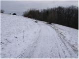 8
8 9
9 10
10 11
11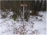 12
12 13
13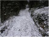 14
14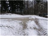 15
15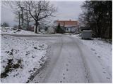 16
16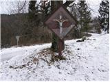 17
17 18
18 19
19 20
20 21
21 22
22