Starting point: Bogojina (185 m)
Starting point Lat/Lon: 46.678°N 16.2755°E 
Time of walking: 1 h
Difficulty: easy marked way, easy unmarked way
Difficulty of skiing: no data
Altitude difference: 105 m
Altitude difference (by path): 105 m
Map: Pomurje 1:40.000
Access to starting point:
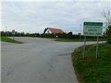
From Pomurska highway we go to the exit Gančani and follow the road ahead in the direction of Moravske Toplice. After few kilometers of additional driving the road brings us to a little bigger crossroad in Bogojina. Here we continue straight (left - Moravske Toplice, right - Lendava) and a little narrower road quickly brings us into the center of the village Bogojina. We continue driving through the settlement, and we follow the signs for Plečnik church. Only a little before the mentioned church we will come on a smaller triangle crossroad, where we continue left towards the cemetery (straight Plečnik church). After a short further drive we get to the mentioned cemetery, in front of which we park on a well-settled parking lot.
Path description:
From the parking lot, we continue on the right side of the parking lot and we start lightly ascending on the asphalt road. After few minutes, the path branches off to the right towards Sveti Urban, and a little ahead to the right also the path towards the tourist farm Puhan, and both times we continue straight. The asphalt then ends, and we for some time continue on a macadam road, and a little after the bridge, signs for Moravske Toplice point us to the left on a cart track which then passes into the forest and gradually starts ascending. Higher, we leave the forest and we continue past the farm, and before the nearby house we go left and then we ascend by the field. Few minutes higher we reach an asphalt road, where we go right (to the left continues a marked path towards Moravske Toplice). Next follows an easy descent, after that from the right a side road joins (to here we could come also on a side road, namely, if a little lower at the crossing we would continue on the road and not left by the fields). We continue past few more houses, and at a smaller crossroad, we go left. When we reach a wider road, we go right and we ascend to Gomba, where there is a cemetery.
Description and pictures refer to a condition in November 2022.
On the way: Vučja Gomila (264m)
Pictures:
 1
1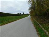 2
2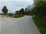 3
3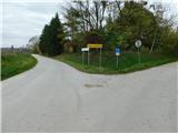 4
4 5
5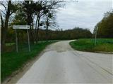 6
6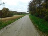 7
7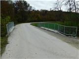 8
8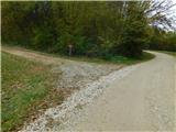 9
9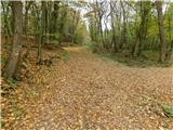 10
10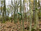 11
11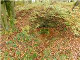 12
12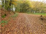 13
13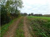 14
14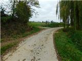 15
15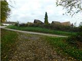 16
16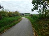 17
17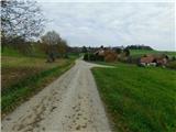 18
18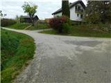 19
19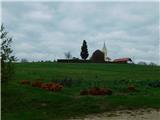 20
20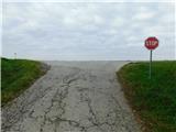 21
21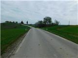 22
22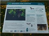 23
23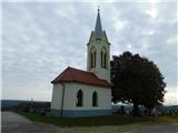 24
24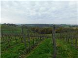 25
25