Bogojina - Gravel pit Ivanci
Starting point: Bogojina (185 m)
Starting point Lat/Lon: 46.678°N 16.2755°E 
Time of walking: 1 h
Difficulty: easy unmarked way
Difficulty of skiing: no data
Altitude difference: -8 m
Altitude difference (by path): 5 m
Map: Pomurje 1:40.000
Access to starting point:
From Pomurska highway we go to the exit Gančani and follow the road ahead in the direction of Moravske Toplice. After few kilometers of additional driving the road brings us to a little bigger crossroad in Bogojina. Here we continue straight (left - Moravske Toplice, right - Lendava) and a little narrower road quickly brings us into the center of the village Bogojina. We continue driving through the settlement, and we follow the signs for Plečnik church. Only a little before the mentioned church we will come on a smaller triangle crossroad, where we continue left towards the cemetery (straight Plečnik church). After a short further drive we get to the mentioned cemetery, in front of which we park on a well-settled parking lot.
Path description:
From the parking lot, we return to the roundabout with a chapel, and then we continue right in the direction of the main road. We some time walk on a sidewalk, and then at a smaller crossroad we go right on a side road, on which we continue. Bogojina then ends and past the resting place with a table and benches we get to the main road which we carefully cross, and then we go right and we continue by the main road. When from the main road to the left a narrower asphalt path branches off we continue walking there. For quite some time, we further walk towards the south, and the path leads us among fields, and after some time we cross the stream Lipnica. Also a little further we get to the next crossroad, where Pannonian trail continues right towards Moravske Toplice (all signs for Pannonian trail are in the opposite direction), and we continue straight, where we go past the cemetery. On the asphalt we walk only a short time, and then we go left on a cart track, on which we continue all the way to the embankment at gravel pit Ivanci. When we ascend on an embankment a nice view opens up towards the gravel pit.
Description and pictures refer to a condition in November 2022.
Pictures:
 1
1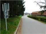 2
2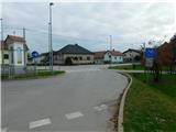 3
3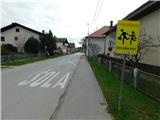 4
4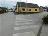 5
5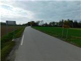 6
6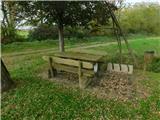 7
7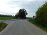 8
8 9
9 10
10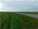 11
11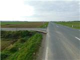 12
12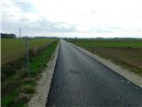 13
13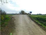 14
14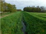 15
15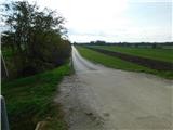 16
16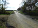 17
17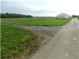 18
18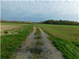 19
19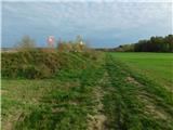 20
20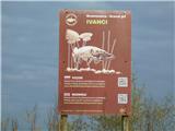 21
21 22
22